


News
2024 ENR Top 500 Design Firms List: WGI Ranks #171
WGI was ranked in the top 200 for the tenth consecutive year by Engineering News-Record (ENR) on their Top 500 Design Firms List for 2024.
In the most recent installment of our Webinar Series, Brian Mayfield, CP, GISP, SP, GIS, WGI’s VP of Remote Sensing Operations, educates viewers on the key differences between various lidar vehicles, with a special emphasis on the introduction of a groundbreaking fixed-wing platform that drastically enhances data quality within conventional airborne methodologies. Through insightful case studies, we’ll delve into the precision and automation potential for feature extraction from dense point clouds achieved through this advanced approach.
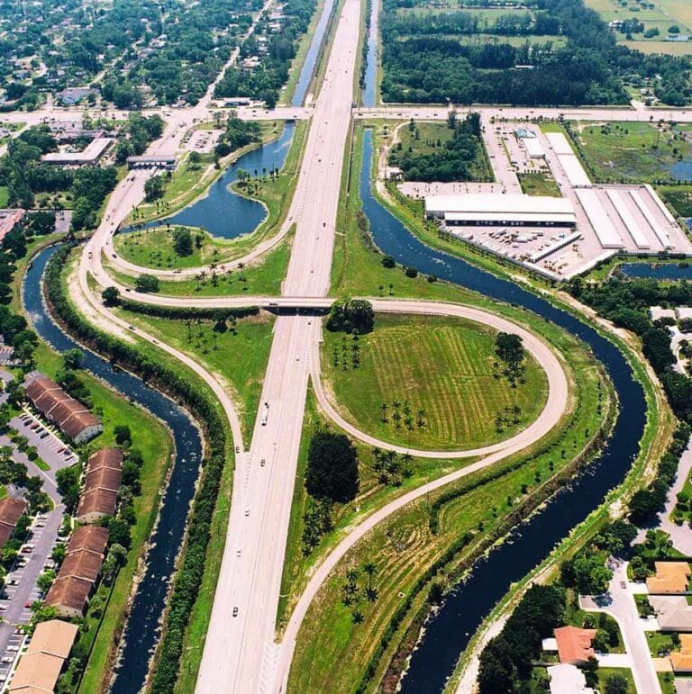
Since its inception in the 1960s, light detection and ranging systems, better known as lidar, have been an essential technology utilized by professionals in the world of Geospatial + Land Surveying. However, as with any innovative technology, lidar has undergone significant advancements over the years.
Terrestrial Mobile Lidar and Unmanned Aircraft Systems (UAS) have revolutionized the game, offering unparalleled pulse densities, accuracy, and feature detection capabilities. As a result, the once-standard use of Fixed-Wing Aerial Lidar solutions has become something of a lost art, leaving industry professionals to wonder what’s next.
At WGI, our Mission is Simple: to empower you with the ability to choose the optimal tool for each & every project – Whether it’s FWAL, TML, UAS, or traditional survey methods, we have the expertise & resources to provide you with the ideal solution to meet any need.
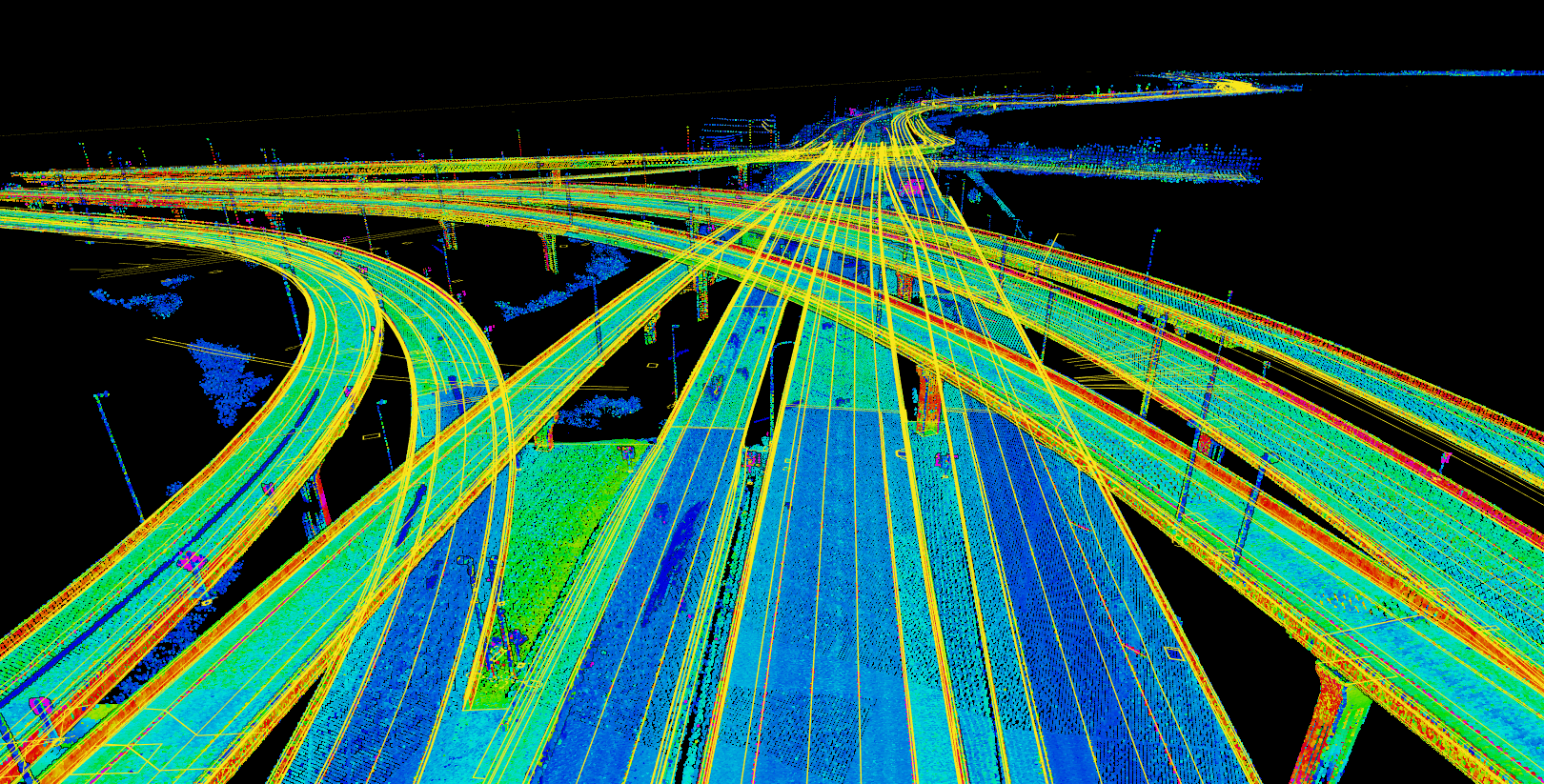
If you were unable to attend our live webinar or or are curious about how our experts can deploy our state-of-the-art technology for your next project, check out a full video recap of the webinar session, and get informed on this critical innovation in surveying technology by gaining a better understanding of the following:
WGI is a national design and professional services firm leading in technology-based solutions for the construction of public infrastructure and real estate development. At WGI, we’re providing Tomorrow’s Infrastructure Solutions Today.
WGI was ranked in the top 200 for the tenth consecutive year by Engineering News-Record (ENR) on their Top 500 Design Firms List for 2024.

Melissa’s addition to the team solidifies WGI’s leadership in helping communities harness the benefits of much-needed infrastructure projects throughout the nation.
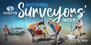
WGI celebrates National Surveyors’ Week by honoring the history of the surveying profession, the hardworking surveying and geospatial professionals at WGI, and highlighting the essential role they play in the advancement of our infrastructure and communities.
