
WGI’s Geospatial Team Unveils New Cutting-Edge 72 Megapixel Spherical Mosaic Camera System
This addition to the Geospatial Team’s Mobile lidar collection provides 72 MP of high-resolution imagery & allows us to offer a more robust dataset.
Learn from award-winning professionals — explore our whitepapers, blogs, and the latest industry updates.
Join our dynamic organization of engineers, land surveyors, landscape architects, environmental scientists, and architects!
Talk to a market leader today! We’ll answer any questions you have about our professional services.
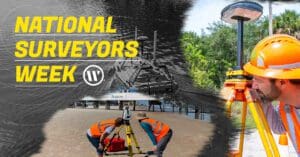
Have you ever wondered what it’s like to work with lidar equipment? What does Geospatial even mean?
In this installment of our “A Day in the Life” series, we go for a ride with Christian Stewart, a Senior Mobile Lidar Specialist in our West Palm Beach, FL office. Christian has been with WGI for over 17 years and has extensive knowledge and experience in the Geospatial field.
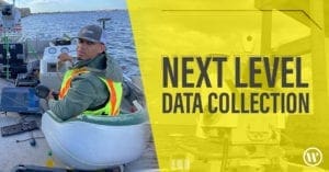
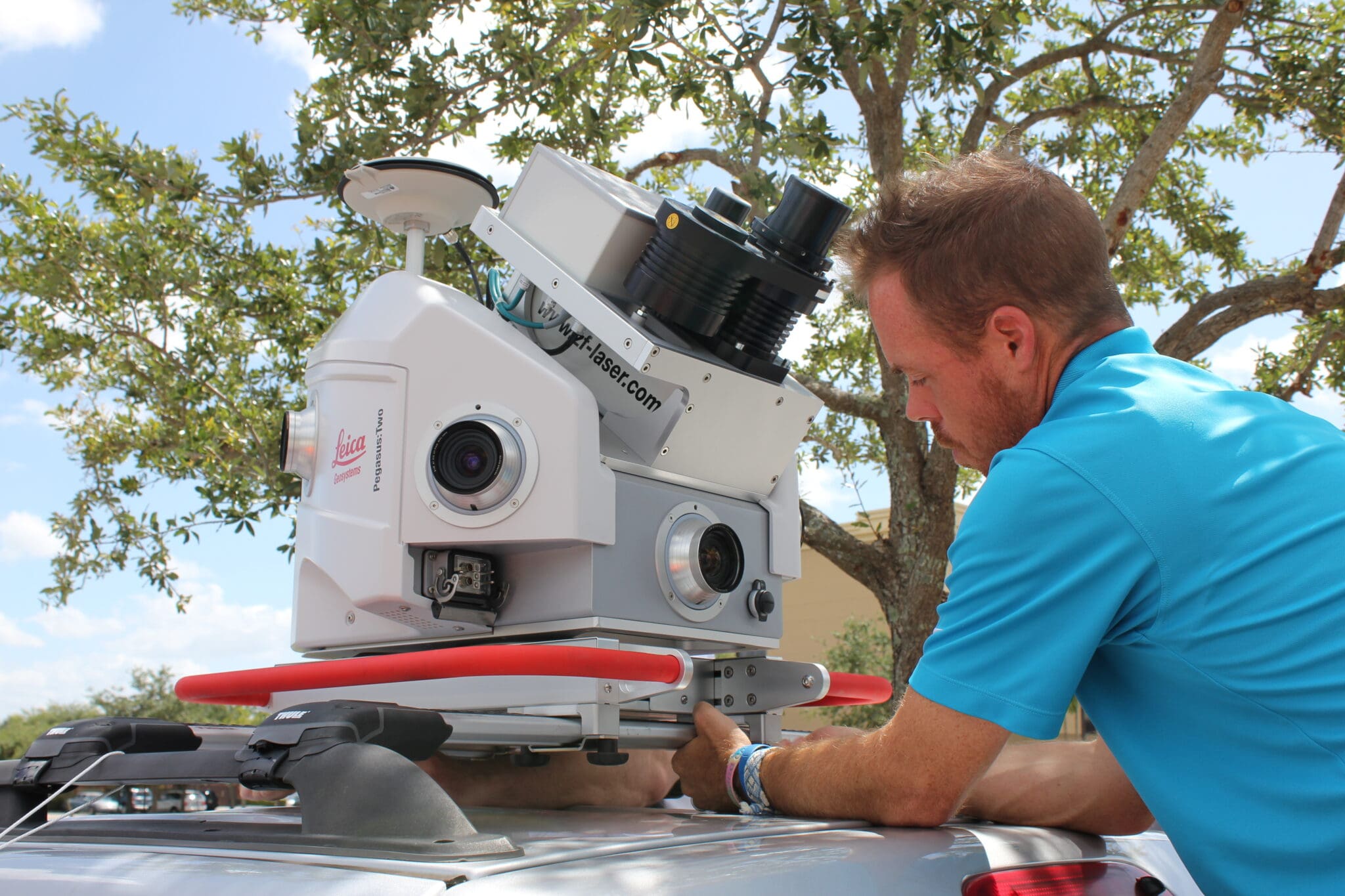
In this video, we catch a glimpse into the West Palm Beach office where Christian works, and learn about one of the perks of getting to work so early in the morning. He lets us sit in on a typical safety meeting with his crew, then takes us out into the field to demonstrate how survey data is collected in real-time using the latest technology in mobile lidar equipment. Then we head back to the office to see how he processes, adjusts and QC’s the data he just collected.
Come see some of the cool ways Christian is using our state-of-the-art technology, as he takes us through what a typical day in his life looks likes here at WGI!
Christian is responsible for collecting, processing, and extracting survey data for a variety of different projects and plays a vital role in our Geospatial team.  He has extensive experience in plan preparation and survey calculations related to route surveys, boundary surveys, topographic surveys, and as-built surveys. He is also extremely proficient in using a multitude of different software programs, most significantly those related to lidar and data collection. Christian’s vast project experience includes work on major environmental restoration projects, construction surveys, highway design projects, urban and local roads, and more.
Our Land Surveying and Geospatial team is hiring! Check out our careers page now to see what current openings WGI has available.
WGI is a national design and professional services firm leading in technology-based solutions for the construction of public infrastructure and real estate development. At WGI, we’re providing Tomorrow’s Infrastructure Solutions Today.
This addition to the Geospatial Team’s Mobile lidar collection provides 72 MP of high-resolution imagery & allows us to offer a more robust dataset.
WGI moves up 12 spots on the Engineering News-Record (ENR) 2021 Top 500 Design Firms List!
WGI associates participated in an internal contest to pitch innovative ideas to improve the company, their work product, and the built environment.
WGI is proud to welcome three Geospatial leaders as we expand our operations across the country.
WGI stayed in growth mode throughout the pandemic as it moved to expand its geographic footprint by furthering early steps at organic expansion.
Jim Sullivan, PSM joins us to provide a little bit of history about the surveying profession, explain how surveyors contribute to the development of our communities, and tell us why kids should consider a career in surveying!
You’ve been searching for a place like WGI. We look forward to meeting you soon.
Sign up to receive emails to hear our latest news and achievements in our monthly newsletter.
Enter your zip code, and we’ll personalize your experience with local projects, office locations, team members, and more.
WGI supports its associates with meaningful opportunities for growth, strong benefits and perks, while we work collaboratively with clients and co-consultants to shape and improve communities.
WGI is a dynamic organization with opportunities nationwide for engineers, land surveyors, landscape architects, environmental scientists, and architects.