Click here to read the original article from Lidarnews.com
The Team
Christian Stewart, Senior Mobile lidar Specialist, was hired at WGI in 2004. He started collecting and processing lidar when WGI purchased their first static scanner in the mid – 2000’s. Christian commented,
“I have used every lidar sensor, static and mobile, that WGI has owned and have collected mobile lidar with a variety of propulsion; car, truck, hi-rail, boat, backpack, UAV, and more.”

Seth Adams, Geospatial Technology Specialist has a background in civil engineering. Seth explained,
“Prior to coming to WGI, I assisted in the development of mobile lidar hardware and software solutions for a manufacturer. My current role has me assisting in selecting and applying lidar systems for projects and the management of lidar projects at WGI.”
Sandor Laszlo, PE, Regional Manager Technology, Geospatial is the leader of Mobile lidar, UAS, and Geospatial. He is an experienced civil engineer and has a software development background. He explains,
“I transitioned to working with lidar and GIS developing algorithms and data extraction systems while also running large statewide lidar projects in the telecommunication space,”
The Technology
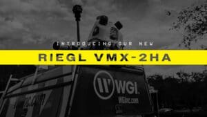
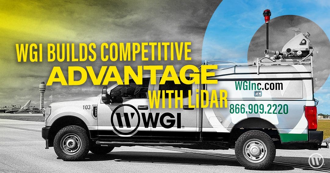
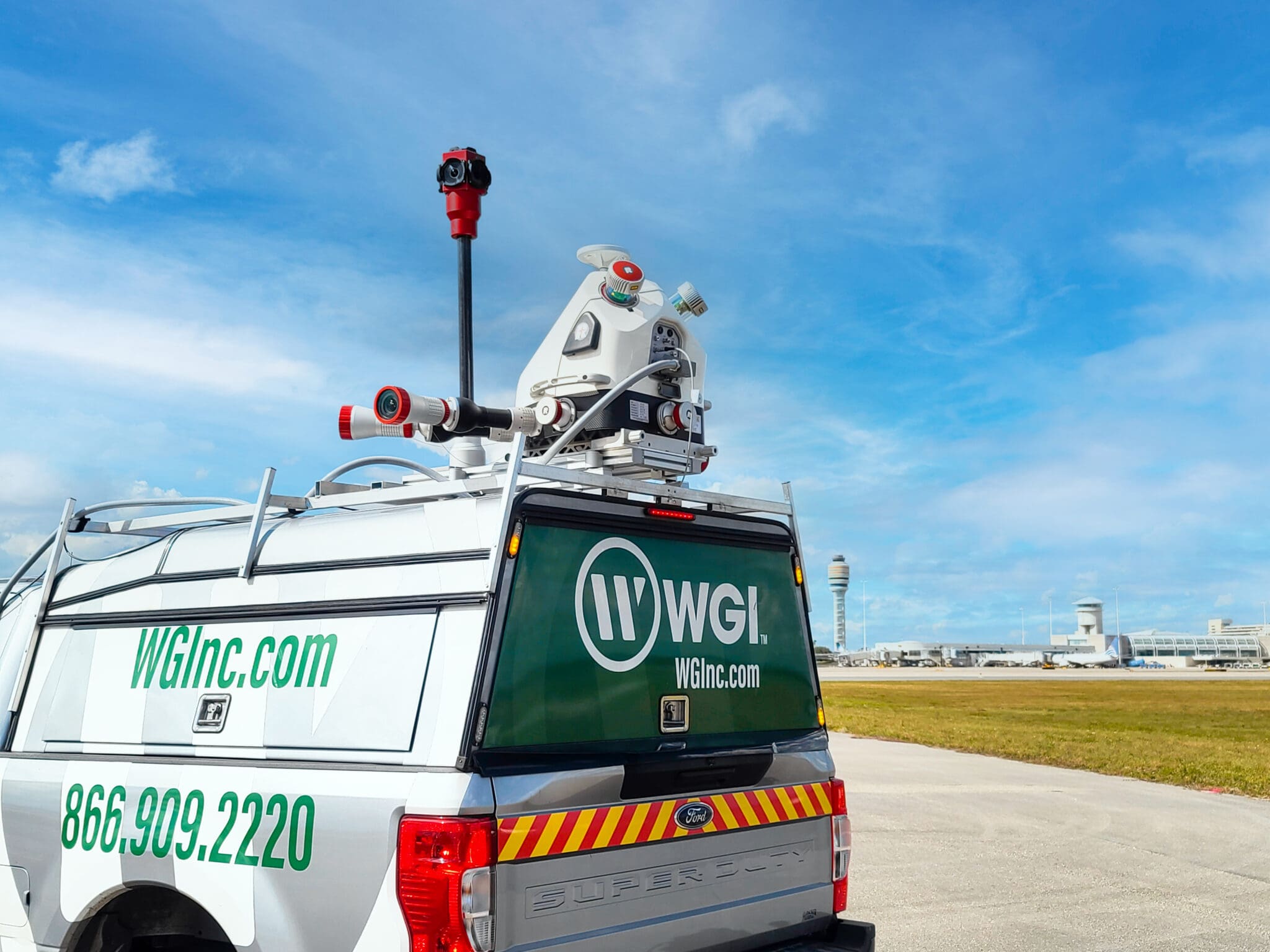
WGI’s suite of hardware includes the RIEGL VMX-2HA (2021-2022) mobile mapping system and the more compact RIEGL VMY-2 (2022), as well as numerous static scanners, and backpack systems. Stay tuned for more information once the VMY-2 is on the road.
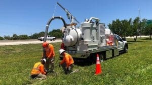
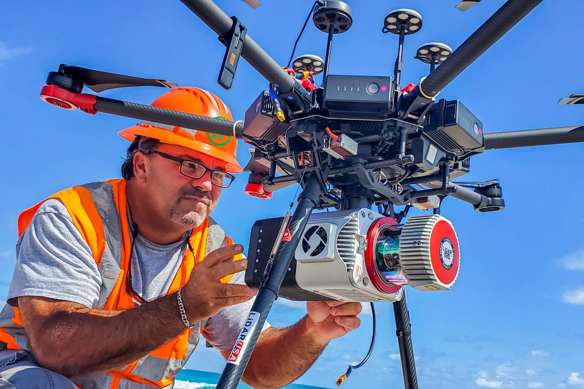
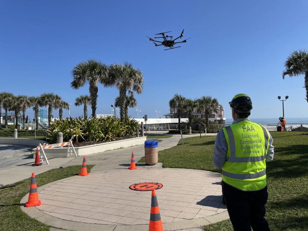
The complement of equipment WGI also owns and operates consists of UAS platforms including the GeoCue True View and LIDAR USA system with RIEGL VUX lidar. These are supplemented with their Z boat autonomous sonar and traditional hydrographic survey equipment.
WGI utilizes a full range of software matched to the data formats of the hardware manufacturer, including RIEGL’s RiUnite Software Suite and TerraSolid software products for lidar pre-processing. Their primary application for mapping and topographic product development is TopoDOT, but also utilizes Bentley’s 3D Mobile Mapping Products for asset Inventory and publishing the point cloud data and imagery. WGI employs Bentley’s ContextCapture, Autodesk ReCap, Revit, and Pix4D for imagery processing and more advanced BIM applications.
Why RIEGL?
WGI has extensive experience in mobile lidar hardware and software solutions from several manufacturers including RIEGL.
“We evaluate purchases based upon the flexibility to service existing clients, develop new markets and services, reliability, and business continuity. The characteristics of the RIEGL system and, in particular, the integration of multiple camera options provides a solution with flexibility to suit our current and growing needs.”
Furthermore, as an organization with a heavy focus on transportation engineering and land surveying, WGI’s demands for highly accurate and precise lidar data are fundamental to achieving design-grade results. Prior to acquiring the RIEGL VMX and VMY systems, WGI was using a phase-based lidar sensor. They elected to pursue time of flight sensors with high measurement frequencies to ensure the density of point cloud information on more discrete objects for their asset inventory applications.
WGI evaluated other manufacturers who provided alternative solutions but felt a diversification of equipment and solutions would provide their company options for the deployment of equipment on projects across WGI service areas and geographies.
Workflow Integration
WGI’s lidar processing team members work in many locations and the need to furnish accessibility to data to various offices and to associates working from home requires a unique approach to data management, quality management, and project oversight. Stewart again explained,
“With our new RIEGL system and higher point densities, we need to utilize smaller tile boundaries to reduce the file sizes of the data.”
WGI is working on a hybrid office/cloud processing system to ensure its infrastructure – both physical and virtual – can handle the increase in data size, processing requirements, reliability, and affordability. WGI also invested in higher-performing PCs to maintain typical production turnaround times. Finally, with the increase in data volume, WGI has been communicating with their clients to ensure data deliverables do not overwhelm their systems.
Investing in Technology
During the early days of mobile lidar, it was necessary to do in-depth ROI analysis to make the case to invest in cutting-edge equipment, which very few people owned and operated. Today, it’s much easier to justify the purchase to protect core business units and continuity of operations, while also expanding service lines and offerings. WGI noted,
“We are fortunate to have an ownership and leadership structure who believes strongly in using the latest technology to improve our work and provide constant value to our clients.”
WGI took delivery of the VMX system shortly after the first of the year. WGI is already using its new systems on transportation design projects for state Departments of Transportation and local municipal clients harnessing mobile lidar for large-scale asset inventories.
A Look to the Future
The Geospatial Division at WGI includes the Survey and Subsurface Utility Engineering (SUE) practice. By providing the surface characteristics from lidar for topographic and ALTA surveys and including visible subsurface utility infrastructure captured by lidar to SUE teams, they’re able to develop a complete picture of the design landscape.
Furthermore, they’re integrating data for many tools including high-resolution camera systems, GPR, sonar, bathymetric lidar, and conventional surveys with mobile lidar-derived data sets for the development of digital twins and complete streets applications.
WGI is working with AI technologies to further enhance its ability to extract valuable data from the point cloud and imagery datasets. In addition, they are developing toolsets in the AR/VR space that allow clients to interact with and visualize data from perspectives that were simply impractical to implement before.