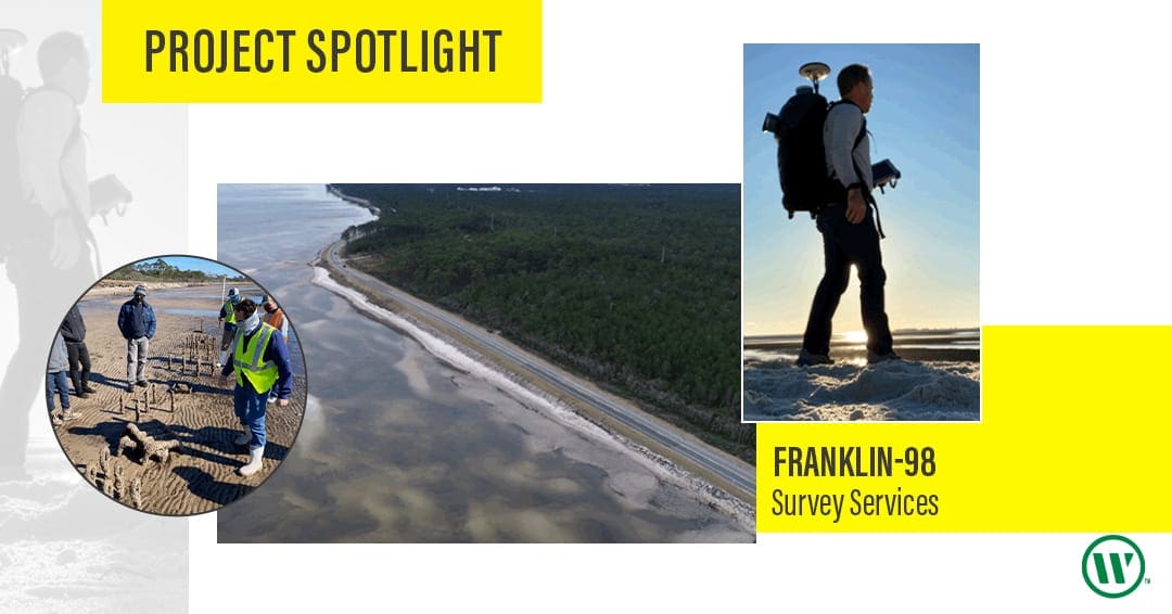
Over the past few months, WGI had the pleasure of providing survey services for the Franklin-98 Coastal Restoration Project.
The majority of US Highway 98 is immediately adjacent to the water’s edge approximately 12 miles between Carrabelle and Eastpoint within Florida’s Apalachicola Bay.
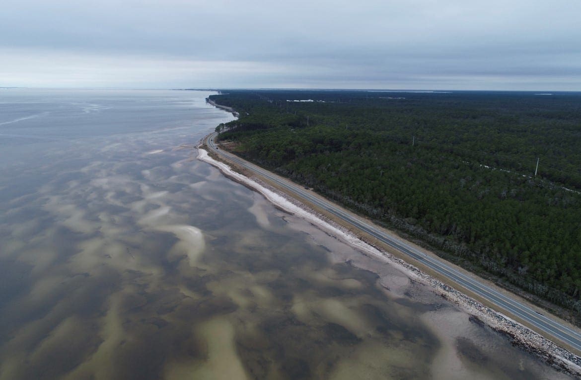
Apalachee Regional Planning Council is leading this new initiative to enhance the habitat along this section of the bay by adding a “living shoreline” to restore the marshes, reefs, and provide new habitats for the wildlife.
WGI’s Geospatial Team quickly got the ball rolling with a hydrographic survey of the area utilizing the popular Z-Boat (unmanned hydrographic survey drone), one of several technologies employed during this exciting project.
Our UAS crew captured key data points of the existing marsh and other environmentally sensitive areas with the Leica Pegasus lidar Backpack.

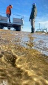
Our boots on the ground (field crews) established an accurate horizontal and vertical control network to help bring all of this spatial data together on a consistent datum. The extensive data sets were then combined into a seamless 3D model of the shoreline.
WGI utilizes the latest tools and technologies to provide our clients with meaningful data that allows them to operate more efficiently.
Contact our team of experts today and we can show you how industry-leaders utilizing the latest cutting-edge technology can benefit your next project.