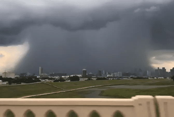
To better anticipate and prepare for these major storm events, the National Oceanic and Atmospheric Administration (NOAA) gathers and analyzes historical data to provide more accurate predictions of events like Hurricane Harvey. Historical data allows NOAA scientists to predict the magnitude of the 100-year storm event.
These numbers also serve as a reference for the Federal Emergency Management Agency (FEMA) to draw flood maps, identify areas subject to flood risk, and inform state and local municipalities involved in public and private development.
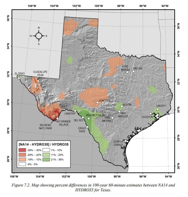
In late 2018, NOAA released an update that redefined the amount of rainfall required for a storm to qualify as a 100-year event. The previously accepted rainfall numbers had not been updated since the 1960s and 1970s. This study found increased rainfall values in many parts of Texas, with Houston being the most impacted. Houston saw the 100-year event estimate rise by five inches, and the previously 100-year estimates were found to occur much more frequently than anticipated.
How is your property affected?
Floodplain/Insurance
Floodplain boundaries may be redrawn due to the increased rainfall estimates, causing higher insurance rates. For example, in Austin, it is anticipated that the number of buildings within the 100-year floodplain will double. It is not anticipated to affect municipalities in the Northern Texas region.
Detention & Infrastructure Requirements
Proposed developments may see heightened detention and storm sewer requirements to account for the increase in estimated rainfall totals. Finished floor elevations of structures will have to be raised above the anticipated water surface elevations of these storm events.
Final Takeaways:
NOAA will continue to monitor areas of Texas and further develop Atlas 14 as more data is collected and analyzed. Advances in technology have allowed engineers and researchers to provide estimates with greater accuracy and frequency, which will result in more prepared and safe development.
For reference, ATLAS 14 Volume 11- Version 2 can be found here.