Geospatial & Land Surveying Palm Beach
When starting any construction project you will need to conduct a land survey, this is usually carried out to help you establish the ownership and location of boundaries. Our expert surveyors use advanced geospatial tools such as mobile LiDAR, photogrammetry and hydrographic surveying, which helps accurately map out existing property lines and structures.
Getting a land survey completed before you start work will save you so much time and money in the long run. Working off existing plans given to you by the previous owner can be risky as they are not always accurate. With our professional land surveying techniques we can be sure that you will get more precise data and boundary locations, giving you peace of mind when you start the construction process.
Download Our Whitepaper:
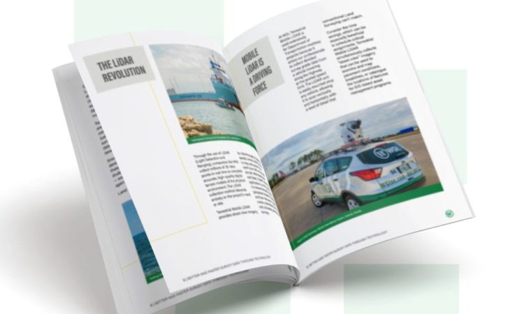
Better and Faster Survey Data Through Technology: Get Geospatial Already.
Photogrammetry
WGI typically utilizes mobile LiDAR and aerial data acquisition to quickly and accurately gather information to meet relevant FAA guidelines.
Hydrographic Surveying
Our manned and unmanned vessels feature the latest hydrographic surveying equipment to rapidly and accurately provide underwater environment details that may affect navigation or construction.
Lidar
LiDAR allows WGI to collect millions of real-time 3D data points to complete an accurate, high-quality model of the physical environment.
THE LATEST TOOLS AND TECHNOLOGIES
Featured
View All Palm
Beach Services
Our expert team here in Palm Beach, Florida are here to help guide you through the process of getting your land surveyed. So if you are needing a land survey then speak to a member of our team to get you booked in today.
Contact Us
Get in touch with ourGeospatial & Land Surveying – Palm Beach team.
