Geospatial & Land Surveying in Tampa
If you need Land Surveying, Tampa, you can count on us. We offer a reliable, effective, and affordable service, which is a must before starting any sort of construction project.
We have a wide range of tools at our disposal to make sure that we can easily adapt our process based on your need. We can use photogrammetry to capture what can only be viewed from an aerial perspective, as well as using hydrographic surveying to capture a thorough and full picture of an environment that is underwater. We can also utilize mobile LiDAR when it comes to mapping a lengthy transportation. The options are endless, so you can be sure that we can assist you irrespective of the project you are working on.

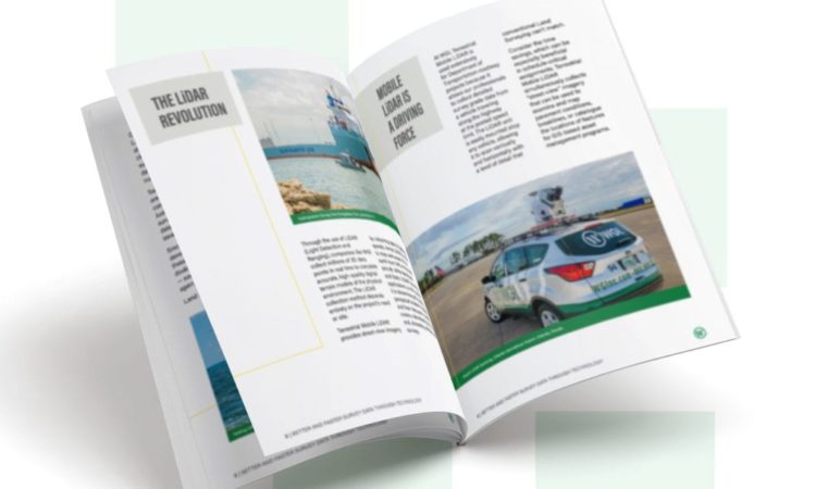
Download Our Whitepaper:
Better and Faster Survey Data Through Technology: Get Geospatial Already.
Photogrammetry
Hydrographic Surveying
Lidar
THE LATEST TOOLS AND TECHNOLOGIES
Featured
View All Services
Our expert Tampa team of engineers, design professionals, and consultants can provide support for your project on a wide range of services.


