WGI’s Geospatial team had an incredible opportunity to inspire and teach the next generation of geomatics students at the University of Florida in Plant City, FL.
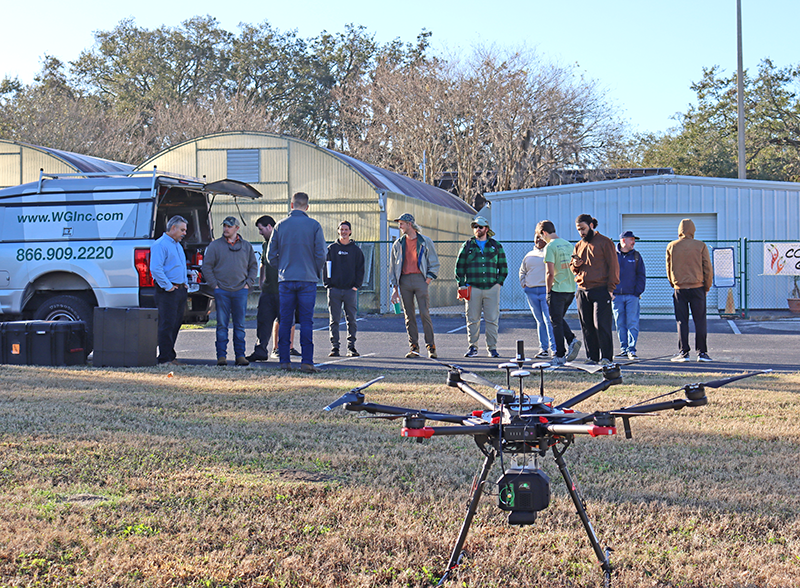
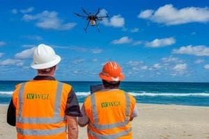
Stephen Dees, Tyler Smith, and Christopher Morin showcased their Unmanned Aerial System (UAS) expertise with a demonstration where they took flight with a Harris Aerial Drone executed in a real-time data collection scenario.
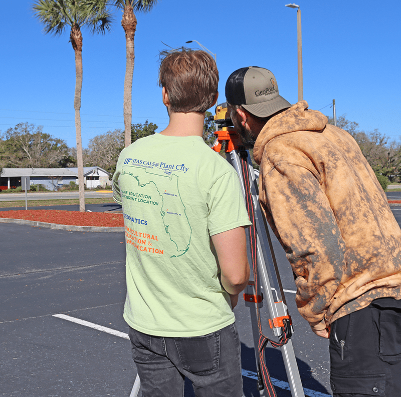
The students were able to experience the application of cutting-edge technologies being utilized in a dynamic setting.
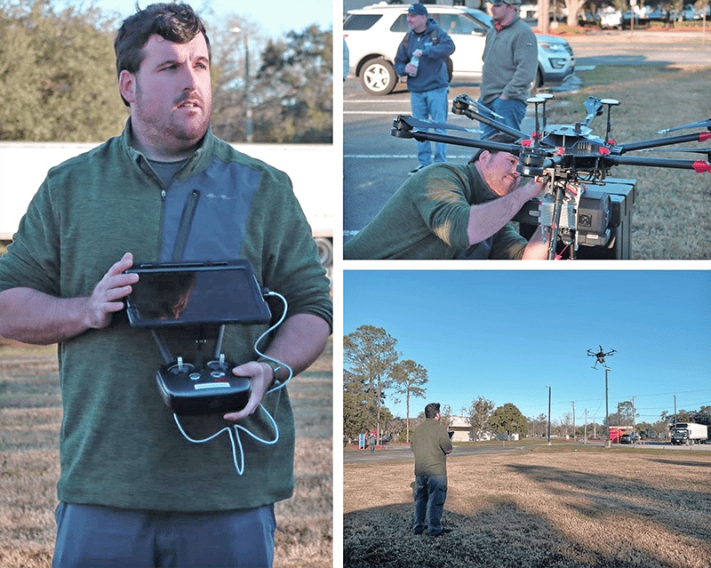
Equipped with a GeoCue lidar sensor, our team collected data points throughout approximately 15 acres of the University’s Plant City Campus.
The awe-inspiring demonstration allowed our experts to showcase both the safe operation and the data collection capabilities of the Harris Aerial Drone.
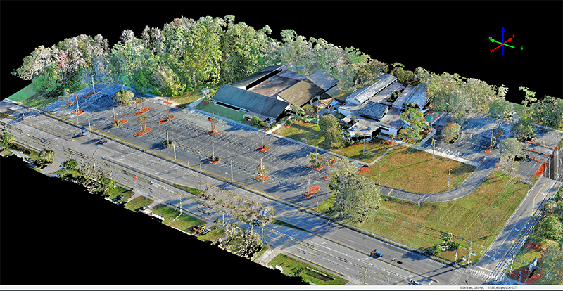
This was a unique opportunity to educate and mentor future geomatics students by offering a real-world dataset to practice processing survey deliverables from an Unmanned Aerial System (UAS) lidar.
Leveraging AI & machine learning techniques enables WGI’s Geospatial team to provide clients with more efficient and more accurate data collection at an increased rate.
Contact WGI’s Geospatial experts today to learn how we can help save you time and money on your next project by utilizing the latest practices and technologies in real-time data collection.