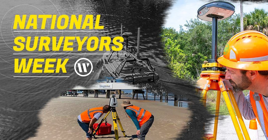
Each year, National Surveyors Week falls on the third week of March and is aimed at recognizing the dedicated professionals who make important contributions to our projects and communities through the geospatial medium of surveying.
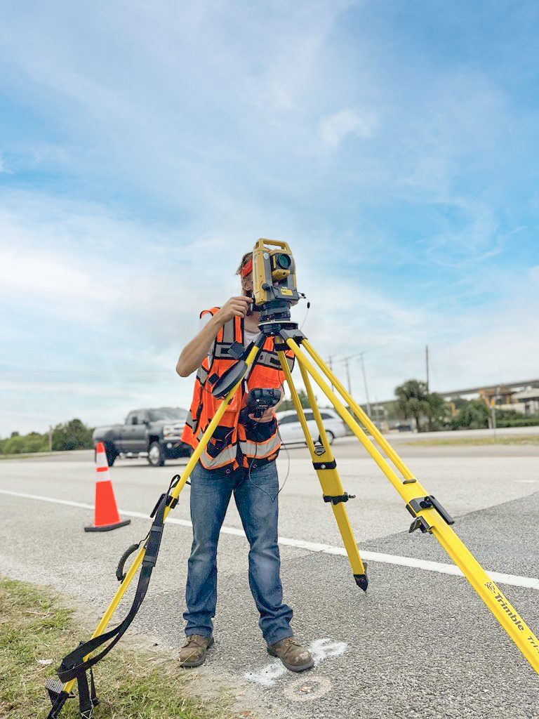
Before the land is cleared and a project breaks ground, surveyors are often on-site, mapping property boundaries and providing next-level data collection to our clients.
This information is vital for developers and project managers who can only begin their intended projects after the surveyors have completed their work.

Other uses of land surveying and geospatial technology include the assessment and repair of existing infrastructure.
Our Geospatial team in Tallahassee was on-site performing a railroad bridge assessment where they had to quickly determine the integrity of an overpass that was struck by a utility truck.
Check out how the team quickly mobilized for this impromptu emergency response project below:
A History In Surveying
The surveying profession has been around since the beginning of recorded history and is one of the oldest and most under appreciated professions in the United States. Our country was founded on the principle of expansion, and before expansion can happen, planning and surveying must be conducted.
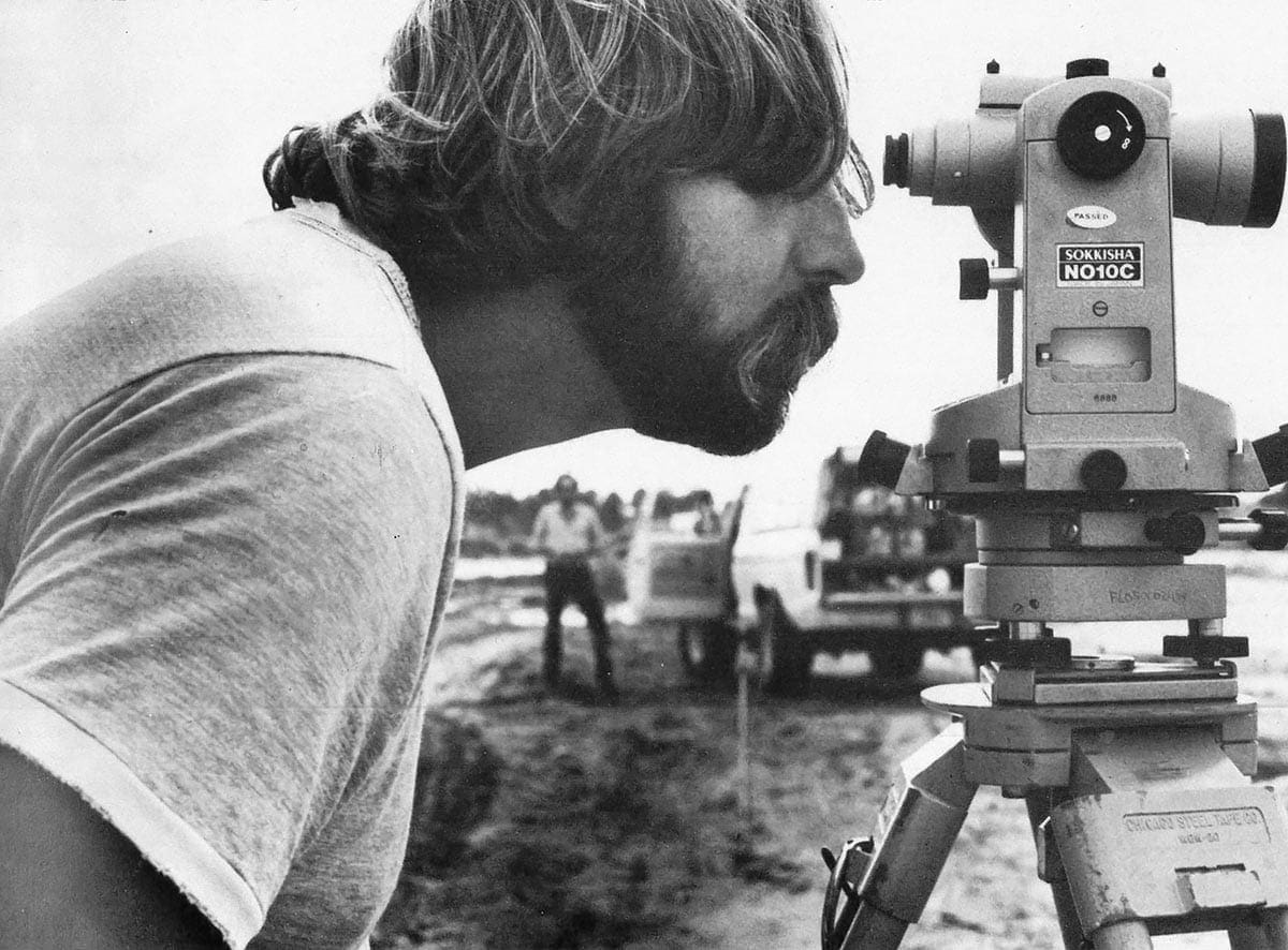
Dedicated professionals in the 19th century aided the expansion west, where the promise of land ownership encouraged pioneers to settle and stake their claims. Most people in that era had a primary occupation but were also capable surveyors due to the intense demand for planning services that preceded the westward expansion. Many of our country’s early leaders were also surveyors – including George Washington, Abraham Lincoln, and Thomas Jefferson.
Innovative Tools & Technology
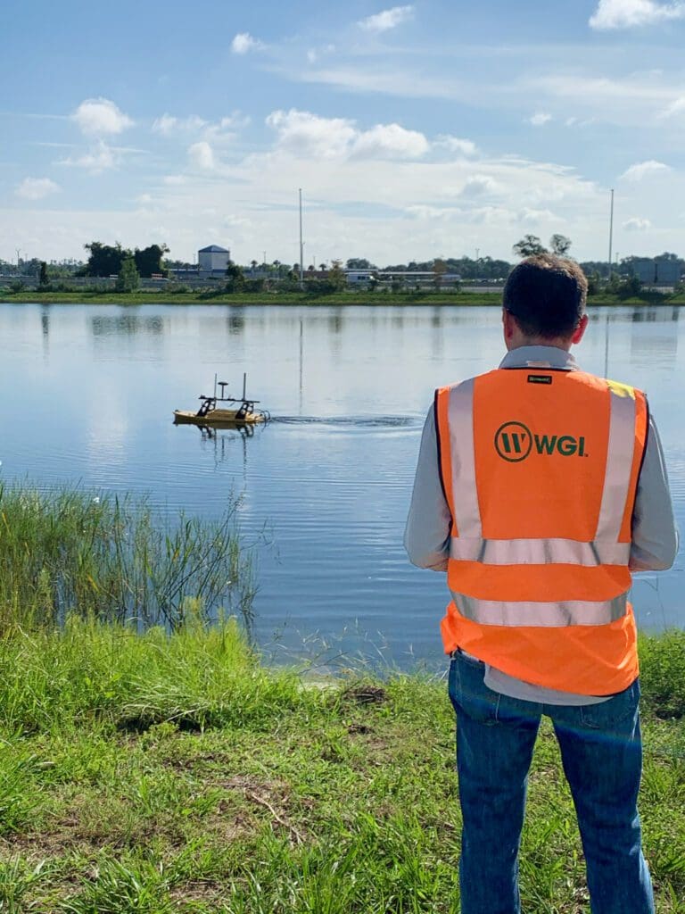
The tools at the surveyor’s disposal are ever-changing, and WGI’s survey crews are always equipped with the latest technology available. In addition to the traditional tripod with total stations or theodolites, our crews are regularly deploying Lidar-equipped drones and mobile lidar that is fixed to a vehicle and collects geospatial data for our clients.
Thank You!

WGI would like to recognize all of our surveying and geospatial team members for the contributions that they make every day. We truly appreciate all that you do for our communities and for WGI!