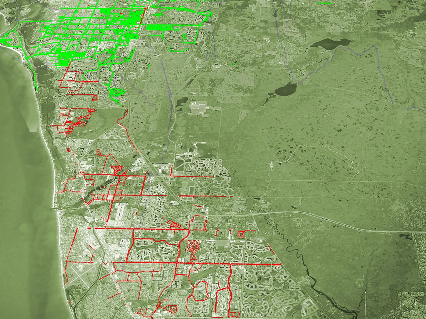
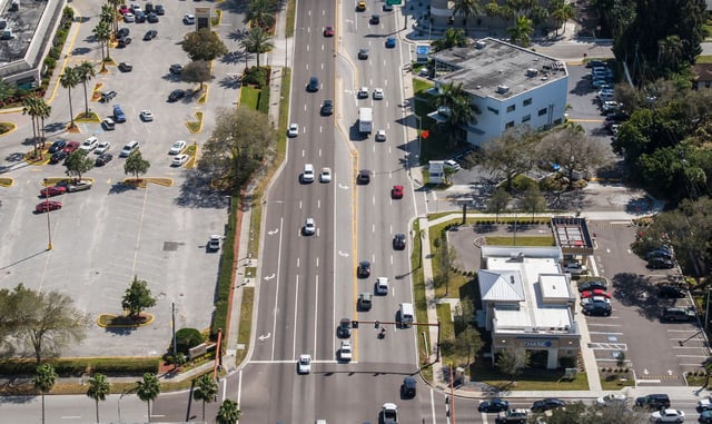
Sarasota County selected WGI to provide automated data collection and analysis for pavement, sidewalks, pavement markings, trees, and traffic safety-related assets. The 2,328 lane miles of maintained roadway included thousands of County assets. Sarasota County wanted to map and asses these assets correctly, relying on WGI’s expertise in technology-based project approaches.
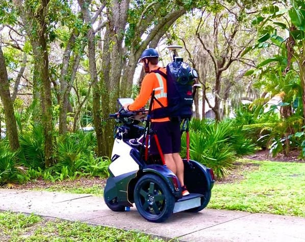
Focusing on sidewalk assessments, WGI utilized an SSI sidewalk profiler to collect data on 650 miles of County-maintained sidewalks. The system allowed the team to collect data on 36 miles per day on average. Then use the collected data to check for compliance with the Americans with Disabilities Act (ADA) and calculate an Overall Condition Index (OCI) to facilitate county maintenance programming. The OCI score is developed by categorizing defects such as crack width and depth and excessive cross and running slopes, to name a few. Weight factors are applied to the score based on the determined severity of the defect.
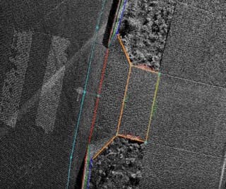
WGI also integrated a backpack lidar sensor in the collection process to capture additional data on ADA curb ramps and roadside assets as an added value to the County. The wearable sensor provided a dense point cloud and a rear-facing camera to verify observed defects. The point cloud data was used to detail high-priority areas such as intersections and ADA ramps.
The Sidewalk Profiler allowed for a safe and efficient approach that yielded repeatable, defensible data at a lower cost to the County over traditionally labor-intensive and subjective methods. WGI developed a customizable GIS-based toolset to calculate OCI over the entire project area quickly. This differentiator allows clients to adjust defect weights and quickly see the impact on the OCI, ensuring results from adjusted weights align with maintenance programming priorities.
.png?width=185&height=175&name=WGI%20Icon_Green%20(1).png)


















%20copy%203.png?width=640&height=420&name=MicrosoftTeams-image%20(2)%20copy%203.png) DELRAY BEACH
DELRAY BEACH