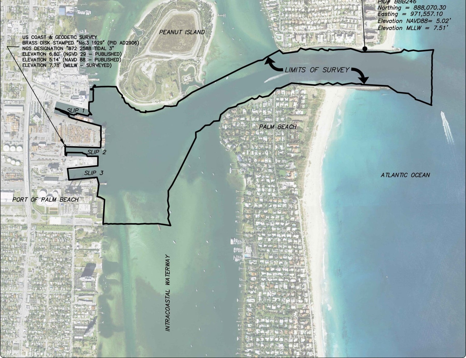
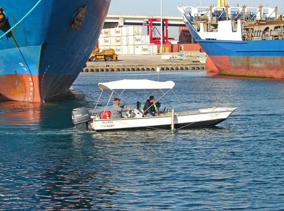
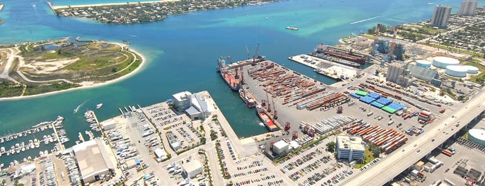
One day following Hurricane Matthew’s approach to South Florida’s coastline, WGI was contacted by the Port of Palm Beach to prepare an emergency hydrographic survey. Already under continuing contract with the Port, WGI was able respond immediately and prepared the survey from bathymetric data collected from the inlet, through the channel and turning basins, into the slips and along the marginal wharf of the Port. The bathymetric data was collected using a single beam echosounder paired with Hypack hydrographic surveying software. The hydrographic survey delineated one foot contours, by color range, outlining areas within the channel that did not meet or exceed a depth of 34’ below Mean Lower Low Water elevations. In addition, color ranges were added to outline areas within the turning basins that did not meet or exceed 24’ below Mean Lower Low Water elevations. Working through the weekend, the hydrographic survey was completed within two days and the final survey and surface model were delivered to the client on Monday morning.
.png?width=185&height=175&name=WGI%20Icon_Green%20(1).png)


















 PORT ST. LUCIE