WGI Icon_Green (1)
WGI Projects
Project Experience

Learn more about successful projects from some of our clients.

Plan Your Next Project!

Kick-start your next project with this quick step-by-step intake form.
About
WGI

WGI is a national design firm creatively transforming infrastructure and real estate through tech-driven services.

Our
Locations

You’ve seen our award-winning team, proven expertise, and industry authority. Now let’s make your next project a success.

Meet Our
Leadership Team

Our Executive Leadership Team and Practice Area Leaders bring decades of experience and client successes to your next project.

Our Practice Area Leadership

Our nationwide team of engineers, surveyors, planners, and architects offers
market-leading experience.

Firm Registrations

WGI holds nationwide registrations to perform engineering, surveying, architecture, and environmental science services.
WGI
Insights Blog

Our blog covers client interests like infrastructure, real estate, regulations, and smart, connected communities.

Whitepapers & Publications

Our whitepapers highlight our design experts' innovative insights and best practices for the AEC industry.

News &
Press Releases

Dedicated to your success, we invite you to subscribe to our newsletter for the latest news, case studies, and insights.

WGI
Media Room

Our passionate design professionals frequently share their expertise at webinars and virtual events.

Post Hurricane Relief Hydrographic Surveys

Client:
South Florida Water Management District
Market:
Water & Environment, Stormwater Management
Location:
Martin, St. Lucie, Indian River, Hendry and Okeechobee Counties, Florida

Project Details

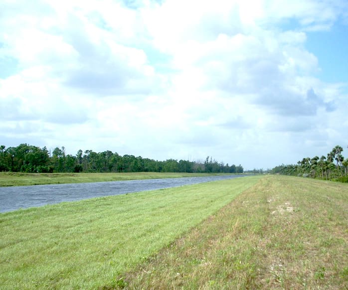
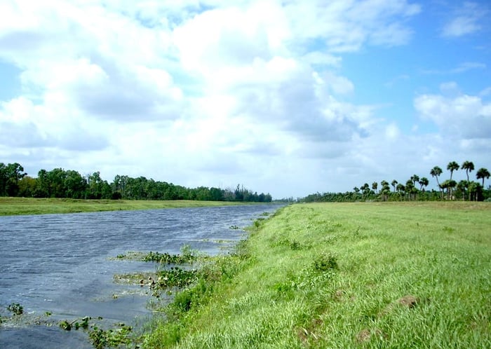
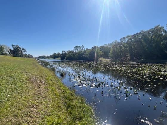
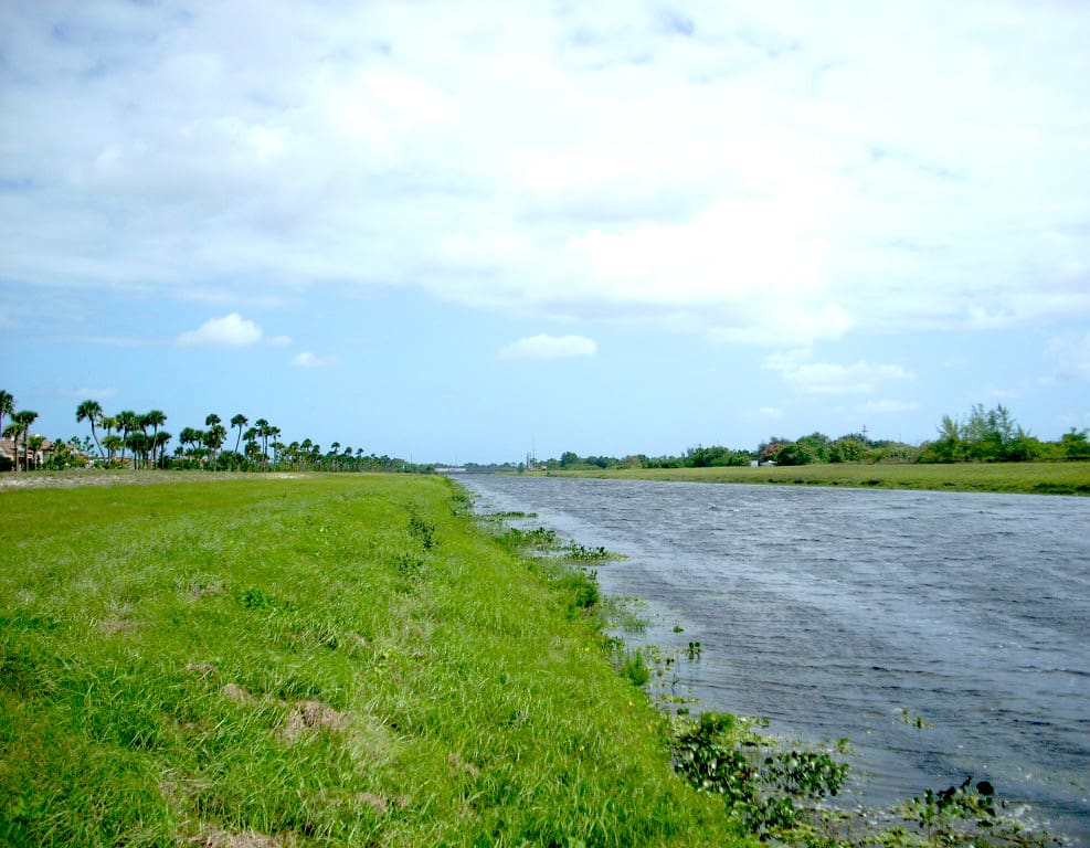
This survey was performed to evaluate the hurricane damage on approximately 34.65 miles of South Florida Water Management District (SFWMD) canals following the hurricanes in 2003 and 2004. The canals surveyed included the C-24, C-25, L-63N, L-63S, L-65 and C-59 leading into Lake Okeechobee. An Odom Hydrotrac Echo Sounder along with HYPACK software linked to a Topcon dual frequency Global Positioning System (GPS) Receiver was utilized to provide the canal profiles and all topographic information below the water line. Elevations were linked with ellipsoid heights and corrected within the HYPACK software to provide direct orthometric heights on the canal bottom. Cross sections above the water line were performed utilizing a combination of GPS along with conventional survey methodology and were carried to the outside toe-of-slope of the existing levees on each side of the canal. Bottom soundings were taken at 1,000-foot intervals by conventional means as a QA/QC method of “ground truthing” the final deliverable. The terrestrial survey, along with the hydrographic survey, was combined to produce one continuous digital terrain model as part of the final submittal.

Project at a Glance

  • Post Hurricane Relief Hydrographic Surveys — image 1
  • Post Hurricane Relief Hydrographic Surveys — image 2

Contact Our Team About Your Next Project.

At WGI, we creatively transform how our world is envisioned, designed, and experienced. Our expert team of professional engineers is ready to help.