During construction activities, the lack of reliable information on underground utilities location can result in costly conflicts, damages, delays, utility service disruptions, redesigns, claims, injuries, and even lost lives. While the expectation is subsurface utility locations should exist in plans and records, experience often shows utility locations are not exactly as recorded, or that records do not fully account for buried utility systems. An engineering process known as subsurface utility engineering (SUE) is a welcome solution, providing this much-needed information.
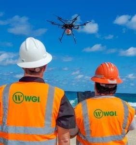
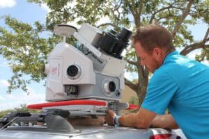
Combining geophysics, surveying, civil engineering, asset management technologies, and nondestructive excavation technologies, SUE can provide accurate three-dimensional mapping of existing underground utilities during the design phase, helping avoid unnecessary relocations, eliminating unexpected conflicts with utilities, and enhancing safety during construction. The use of SUE services is now a routine requirement on U.S. highway and bridge design projects, strongly advocated by the Federal Highway Administration (FHWA), American Society of Civil Engineers, American Association of State Highway and Transportation Officials, and state departments of transportation.
A study sponsored by the FHWA found that $4.62 was saved on overall project costs for every dollar spent on SUE. This figure was quantified by a study of 71 projects with a combined construction value in excess of $1B. Qualitative savings were not measurable, but clearly those savings were also significant, perhaps exponentially more valuable than the quantifiable savings. Used extensively in highway for 25+ years, SUE is gaining strong endorsement by many other industries. The U.S. Federal Aviation Administration released a digital video disk in 2009 entitled, “Underground Update,” to explain the benefits of SUE to the airport industry. In addition to highway design, SUE is gaining strong endorsement by the FHWA and the U.S. military for use in designing construction projects that involve congested underground utilities. Typical applications include construction of underground utilities like sanitary force mains and petroleum oil and lubricant lines, upgrades to utilities on wharves, airfield runways and taxiway repairs, new site development, and utility system management.
Subsurface Utility Engineering
Used appropriately and performed correctly, SUE identifies existing subsurface utility data, maps the locations of underground utilities, and classifies the accuracy of the data based on standardized quality levels. The data allows for developing strategies and making informed design decisions, managing risks and avoiding utility conflicts and delays. If a utility conflict arises, viable alternatives can be found to resolve the issue before any damage is done — and almost always at a lower cost.
In 2003, the American Society of Civil Engineers (ASCE) published the Standard Guideline for the Collection and Depiction of Existing Subsurface Utility Data (38-02). This standard formally defines SUE and sets standard guidance for collecting and depicting underground utility information.
The ASCE standard elevated SUE’s importance, presenting a subsurface utility data classification system that organized it into quality levels. Project owners, land surveyors, engineers, and constructors can determine the quality level suitable to the needs of a particular project, and at an appropriate cost, strategically reducing or allocating risks due to existing subsurface utilities. The standard closely follows concepts in place in the industry. Owners, engineers, and surveyors can maintain their compliance with this standard through the use of SUE, or through their inclusion of SUE specifications in their engineering and surveying contracts.
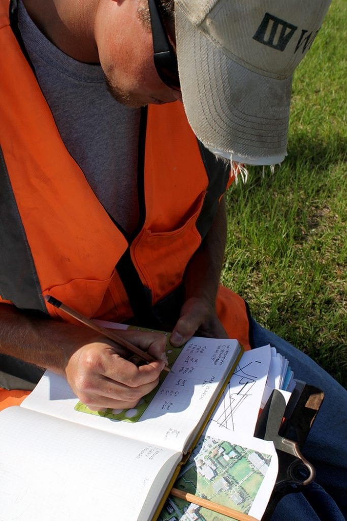
The SUE Process
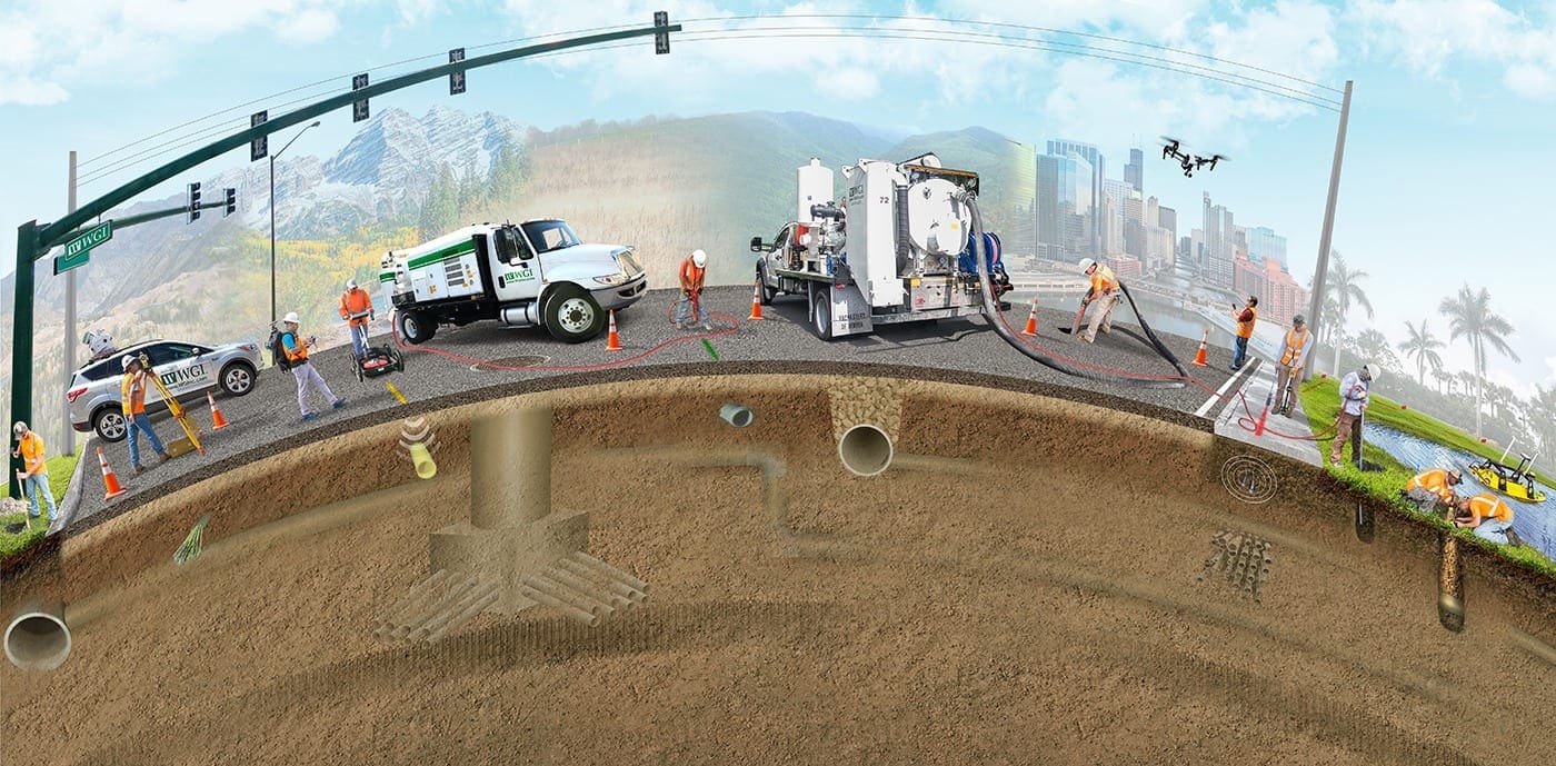
The three major activities of designating, locating, and managing data are conducted individually to meet a given project’s specific needs, but they are most advantageously employed in combination, creating a complete three-dimensional mapping of a utility system. While the practice of SUE is tailored to each project, the process typically follows the following course and ASCE Quality Levels:
Quality Level D
The SUE provider gathers utility records (as-built drawings, field notes, distribution maps) from all available sources. All data is then compiled into a composite drawing and labeled ASCE Quality Level D.
Quality Level C
A survey is performed of all visible surface features of the existing underground utilities (e.g., manholes, pedestals, valves, etc.). This information is added to the composite drawing completed during the ASCE Quality Level D record research and upgraded to ASCE Quality Level C.
Quality Level B
Utilities designation using a variety of geophysical techniques (e.g., pipe and cable locators, or ground-penetrating radar), determining the utilities’ horizontal position. This information is surveyed, then compiled into the utility drawing, now labeled as ASCE Quality Level B data.
Quality Level A
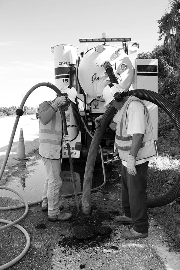
Once conflicts are identified, the data collection process’s final step is excavating test holes at key locations where the exact size, material type, depth, and orientation of the utilities are identified utilizing a vacuum excavation. The test hole information is surveyed and included in the utility drawings, which are now ASCE Quality Level A.
Summary
Today, through the FHWA’s efforts to document and promote the significant return on any dollars invested in the SUE process, over 40 state highway agencies are using SUE on their projects.
While the cost savings resulting from avoiding utility conflicts is the primary factor driving the use of the SUE process in highway projects, many of the applications at military installations realized the value in reduced construction time and in increased safety of workers and the public. There is a tremendous advantage to knowing with certainty the location of potentially impacted utilities at the planning stage, prior to contract bidding and field mobilization. For maximum effectiveness, the SUE process should be incorporated early in the development of every project that may impact underground utility facilities, particularly in urban areas. When subsurface utilities are discovered later in the process, e.g., during the construction phase, the costs of conflict resolution and the potential for catastrophic damages are at their highest. That is why the collection and systematic depiction of reliable data for existing subsurface utilities are critical so engineers make informed decisions and support risk-management protocols regarding a project’s impact on these utilities.
References
Several studies were conducted and are often cited as proof of the subsurface utility engineering’s true value. The most often cited:
- Purdue University Study: Cost Savings on Highway Projects Utilizing Subsurface Utility Engineering
Purdue University’s study was published and distributed in 2000. A total of 71 projects were studied in Virginia, North Carolina, Texas, and Ohio. These projects involved a mix of interstate, arterial, and collector roads in urban, suburban, and rural settings. Two broad categories of savings emerged: quantifiable savings and qualitative savings. An average of $4.62 in avoided costs for every dollar spent on SUE was quantified. Qualitative savings were non-measurable, but it was clear to the researchers that those savings were also significant and possibly many times more valuable than the quantifiable savings. It was concluded that SUE was a viable practice that reduced project costs related to the risks associated with existing subsurface utilities and should be used in a systemic manner. - The American Society of Civil Engineers (ASCE): Standard Guideline for the Collection and Depiction of Existing Subsurface Utility Data (38-02)
This standard formally defines SUE and sets standard guidance for collecting and depicting underground utility information.