
2020 ENR Top 500 Design Firms List: WGI Moves Up to #187
WGI moves up 37 spots on Engineering News-Record (ENR)’s 2020 Top 500 Design Firms List.
Learn from award-winning professionals — explore our whitepapers, blogs, and the latest industry updates.
Join our dynamic organization of engineers, land surveyors, landscape architects, environmental scientists, and architects!
Talk to a market leader today! We’ll answer any questions you have about our professional services.
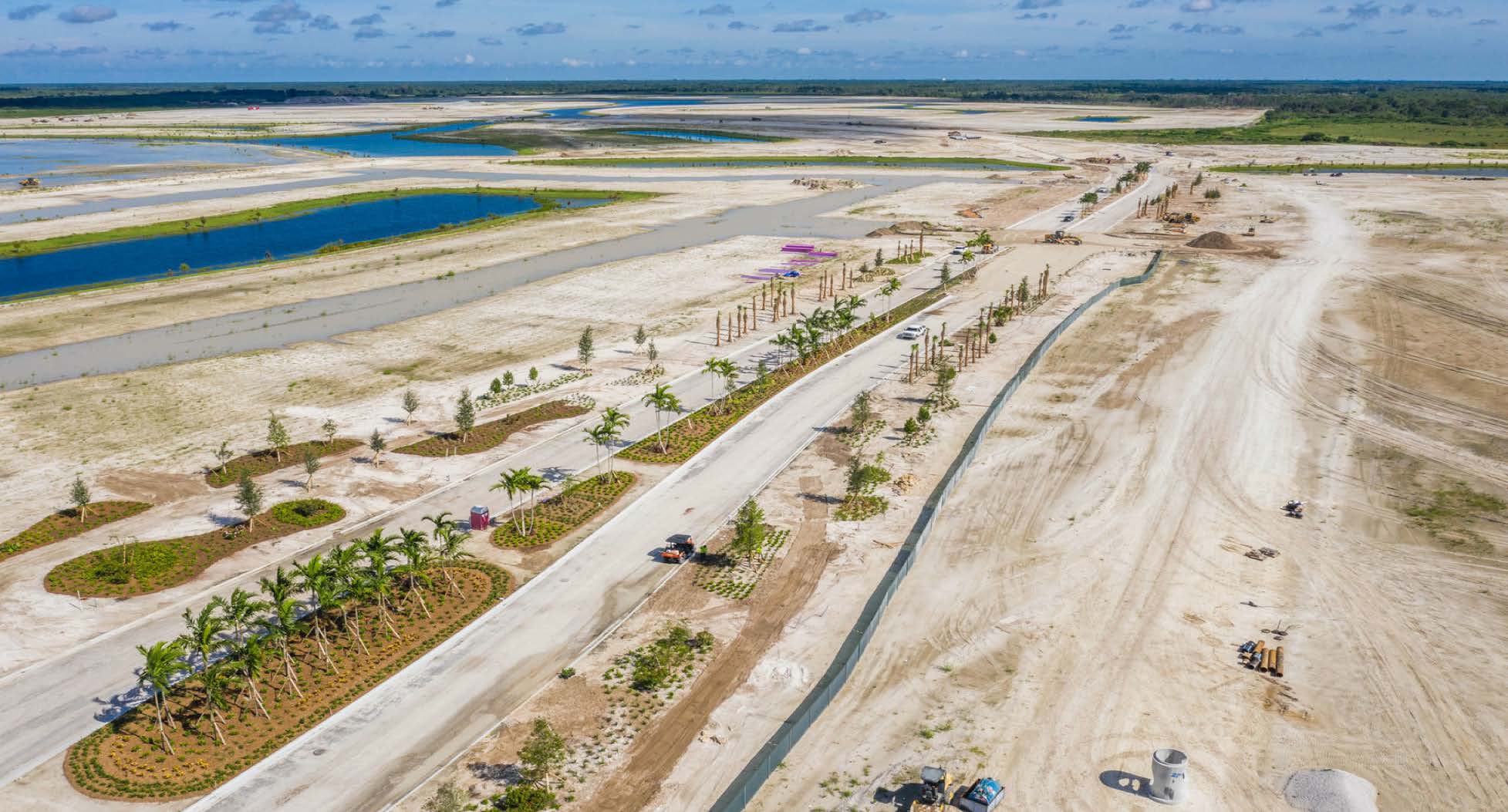
Every development project poses unique site development challenges. Local land use and zoning requirements can complicate development plans; geographic and geological characteristics of the site can necessitate creativity and flexibility; and of course, local politics often come into play. As you prepare your real property for development, it’s essential to understand the zoning, political, and unique site challenges you face so you can create a comprehensive strategy for overcoming them.
Here are the Top 10 Site Development Considerations for your project in South Florida:
All municipalities and counties in Florida have a comprehensive plan with an established land use and zoning map that will serve as your guide for how you can and can’t develop a given site. The maps break down geographic sections of the city or town into categories of development, with each category having specific use allowances and building restrictions.
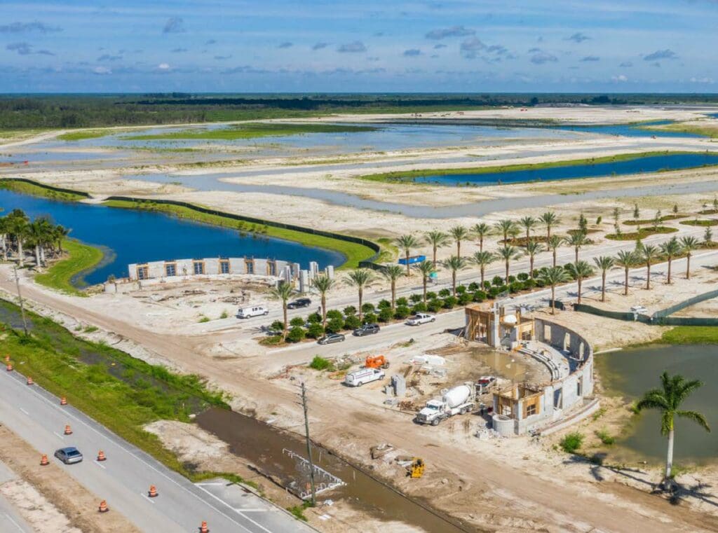
The first step in any development is to understand how these regulations impact your intended development and whether your plans are consistent with community standards. Based on your review of current regulations, you’ll be able to understand if your project can be built “as of right,” or if land use and zoning changes are required. Typically, any necessary changes require approval at a public hearing.
Most development projects encounter some type of environmental regulation or requirement. Development can impact sensitive ecosystems or may have historical issues, such as contamination, and local communities understandably want to make sure that projects don’t have a negative impact on their environment.
There are many potential environmental considerations, including threatened and endangered species, wetlands, and open-space requirements. also, a geological assessment might be necessary to determine whether the land the project is being developed upon has sensitive features, like sinkholes, caves, and wetlands, that could impact the development (and be impacted by it). Wetlands are very sensitive areas, and sinkholes and caves are vital to local areas because they recharge aquifers. Caves also tend to be homes to rare or endangered species.
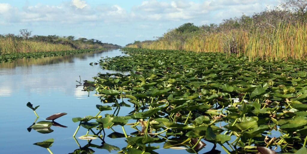
Other environmental considerations aren’t always related to ecosystems, from cultural or historic preservation to site contamination. Site contamination is a particularly important issue because as communities increasingly become more densely developed, it’s often necessary to reclaim land that was previously used for heavy industrial, agriculture, or recreation purposes. In these situations, the land can be contaminated from the previous use and remediation is required prior to redevelopment, particularly when being converted to residential, medical, or educational land uses.
Water is a constant concern for any development. Allowing for proper drainage is vital, not just to keep the site from flooding but to prevent downstream flooding that could impact other areas and contaminate water sources.
Water quality is always a primary consideration. Natural or engineered filtering systems are often required to clean the first flush of stormwater runoff, either by an appurtenance inside a pipe or sand filter basins. In some jurisdictions, water-quality treatment is considered an environmental consideration rather than a drainage feature. Practically speaking, drainage systems and water-quality treatment tend to work in conjunction.

Historically, development in South Florida focused around our coastlines, then migrated inland based on land availability. Natural waterways and man-made canals provide a hydraulic means to move water toward our coastal areas and provide flood relief. As developable land becomes more scarce, identifying a parcel with a point of legal positive outfall, or connection to a permissible drainage system such as a canal, becomes critical to limit size requirements of the on-site stormwater management system.
Water and wastewater availability and capacity is always an essential consideration for any new development. Can sewer systems handle the discharge from a new development? Can water systems provide sufficient water to meet the needs of the new development, including for fire flow? Pipes have finite capacity and if existing infrastructure can’t meet your requirements, you may need to budget for the development of additional upgrades. You may also need to plan for future upgrades as your water and wastewater needs grow over time.
Traffic is always a primary concern for local leaders and residents. It’s important to understand how your development will impact local roadways, and you might need to plan for impact fees that will be used to underwrite the cost of new road infrastructure. If your development is going to increase traffic on local roads, even if those impacts are felt a mile or more from your development, you may be expected to underwrite the cost of creating new road improvements or the addition of new traffic signals. More likely than not, you’ll be expected to conduct a traffic impact analysis to assure there are no surprises when it comes to traffic.
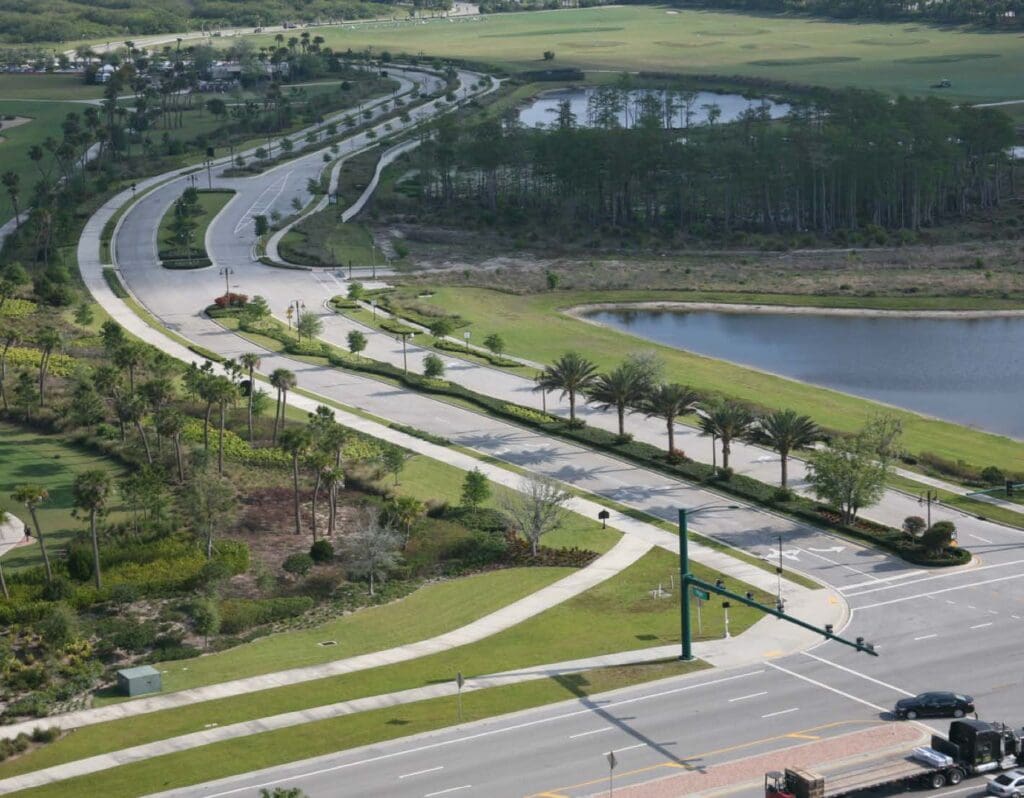
Flooding is a problem across the United States, and its impacts are exaggerated in localized areas based on weather patterns and geography. Many states, particularly Florida, have tidal action that can cause flooding along coastlines. Near these areas, that flooding can cause tides to create a tailwater condition (backing up discharge pipes), or cause dangerous conditions on roadways because road drainage systems can’t remove water from the vehicular lanes quickly enough.
Additionally, most navigable waterways are designated as Waters of the U.S. and require Army Corps of Engineers sign-off, so if your project impacts a navigable waterway, expect to be working with the Corps — a federal agency — to obtain approvals for your project.
Impact fees are the checks you must write to satisfy community infrastructure requirements — before you even put a shovel in the ground. These fees can cover improvements to water and wastewater systems (AKA tap fees), affordable housing fees, fees in lieu of parkland dedication, tree removal mitigation fees, or any number of other impacts that compel local communities to charge for the price of development. These soft costs may not be part of your development plan, but they are common and it’s wise to anticipate them in your budgeting.
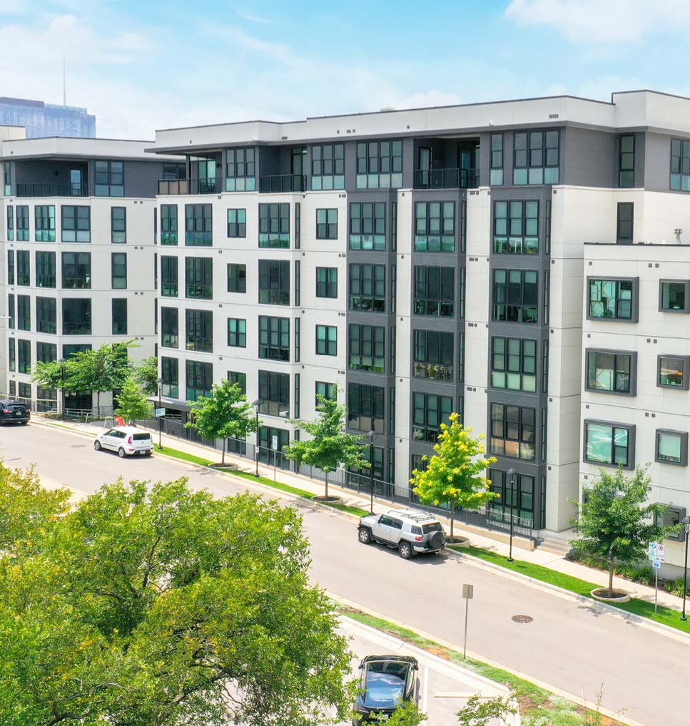
Many jurisdictions have affordable-housing requirements mandating that a certain amount of lower-cost housing is created in conjunction with new development. others offer bonus programs for including the housing. Each community has different requirements and knowing those expectations up-front are quite important.
Neighborhood organizations and local elected officials have a substantial impact on entitlements and permitting, particularly in urbanized communities. Some cities give neighborhoods more power to preserve historical buildings and infrastructure, while others rely on community leaders (neighborhood organization leaders, planning area leaders), appointed bodies (planning commission), and/or elected officials (city council) to help guide development and urban-planning policy.
It’s essential to know who is voting on an individual project or influencing it, and develop a communication and outreach strategy with those decision-leaders. One truism in development is that all land use is political, and all politics is local. You never want a local leader or elected official to read or hear about a project in the local media before they FIRST hear about it from you.
Parking is an important consideration in development projects. Depending on your jurisdiction, there may exist both a maximum and a minimum parking requirement. additional accessory requirements may include screening measures, parking for electric vehicles (vehicle-charging stations), and bicycle parking. It is not unusual for parking reductions to be available in certain geographic areas, like central business districts, universities, or those areas well-served by public transit. Parking should also consider off-street loading and unloading areas, which can be utilized by transportation network companies like Uber or Lyft to safely pick up and drop off passengers. These areas may also be used for deliveries or moving vehicles, or valet service.
WGI’s team of local experts have seen it all. Whether it’s local land use and zoning ordinances, environmental regulations and requirements, drainage and water quality considerations, utilities, or any of the many hurdles you will likely face during the land development process, you can count on our team to be there when you need help navigating it all.
Remember, zoning, access points, and utility entitlements can vary lot by lot, so be sure to contact our team today before you start your next project!
Download this article as a PDF

WGI is a national design and professional services firm leading in technology-based solutions for the construction of public infrastructure and real estate development. At WGI, we’re providing Tomorrow’s Infrastructure Solutions Today.

WGI moves up 37 spots on Engineering News-Record (ENR)’s 2020 Top 500 Design Firms List.

At WGI, we’ll help your community develop integrated micromobility plans and policies to capture benefits, limit risks and expand choices. From pilot project design to overall mobility planning, we can help you test, scale and incorporate innovative transportation into your community plans.
WGI associates participated in an internal contest to pitch innovative ideas to improve the company, their work product, and the built environment.

Heron Estates Family, an affordable townhouse community development in Riviera Beach, FL that will provide 79 brand-new townhomes to Palm Beach County where there is a tremendous need for clean, safe, and affordable housing.

WGI helped the project’s owner reimagine and revitalize the outdoor shopping center into a pedestrian-friendly destination for the entire community.

Discover how innovative housing solutions such as manufactured, pre-fab, 3D-printed, and tiny homes are revolutionizing affordability and accessibility in the housing market, with projects like Community First Village and ICON’s 3D-printed homes leading the way in Austin, Texas!
You’ve been searching for a place like WGI. We look forward to meeting you soon.
Sign up to receive emails to hear our latest news and achievements in our monthly newsletter.
Enter your zip code, and we’ll personalize your experience with local projects, office locations, team members, and more.
WGI supports its associates with meaningful opportunities for growth, strong benefits and perks, while we work collaboratively with clients and co-consultants to shape and improve communities.


WGI is a dynamic organization with opportunities nationwide for engineers, land surveyors, landscape architects, environmental scientists, and architects.