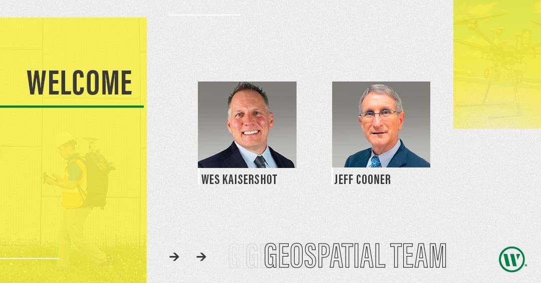
WGI’s ever-growing Geospatial Division expands our capabilities and geographic presence, attracting top professionals in their fields of expertise.
Two new WGI team members bring unique professional skills, experienced leadership, a passion for people, exemplary track records, and are consummate change-makers. We are extremely excited to have them join our growing organization.

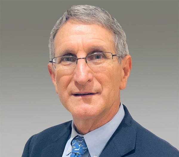
Jeff Cooner, Area Manager, Quality Assurance and Controls
Geospatial - Fort Myers, Florida
Jeff is among the most respected licensed professional surveyors and mappers (PSM) in Florida, managing and directing projects with multiple professionals and field crews. His leadership talents include contract management and Quality Assurance/Quality Control [QA/QC]. Jeff provided leadership for significant surveys for the Florida Department of Environmental Protection [FDEP], South Florida Water Management District [SFWMD], Southwest Florida Water Management District [SWFWMD], and many other government entities and private clients within the state.
Jeff is an innovator. During his career he evaluated and implemented many new and emerging surveying-and-mapping technologies, including multi-user mapping and design software for a large, multi-discipline engineering projects. He deployed one of Florida’s first mobile GPS units for feature mapping, Leica High-Definition Laser Scanning (HDS) units, and unmanned aircraft systems (UAS). He continues to lead projects using 3D laser-scanning data, generating accurate full-motion animations for forensic data/accident-scene investigations. Jeff also has significant experience using bathymetric surveying technology. Recently, he led projects using multi-channel ground-penetrating radar (GPR) for underground utilities identification.
Jeff managed and coordinated the field surveying, photogrammetry, and office mapping of design surveys for hundreds of miles of water, sanitary sewer and force main lines, and roadway expansion projects for Departments of Transportation, cities, counties, and utility companies. He was the lead professional surveyor on significant land acquisitions for both private entities, and state and local government agencies, including FDEP, SFWMD, and the SWFWMD. Because of his involvement in the successful completion of so many land acquisition, utility, and roadway design surveys, Jeff understands the importance of comprehensive data collection, and existing title issue and underground utilities identification during early design stages — minimizing conflicts and delays during construction. His extensive experience on many significant projects makes Jeff a valuable technical and leadership contributor to any design team.
He is well versed in the acquisition, organization, and management of parcel title searches used in FDOT right-of-way mapping. Jeff managed significant field surveys and right-of-way mapping of the FDOT, District 1 Edison Bridge Replacement Project in Lee County and widening of SR 951 in Collier County. He was the team leader providing terrestrial laser scanning of bridge structures on the FDOT, I-4 Ultimate project in District 5. He recently was the contract manager, for subcontracting surveying and mapping services, of team members on a district-wide contract for FDOT, District 6.

Wes Kaisershot, Regional Manager Utilities Engineering
Subsurface Utility Engineering - Austin, Texas
Wes is a highly experienced professional civil engineer licensed in Texas and Colorado, specializing in SUE, utility engineering, utility relocation design, utility coordination, utility management oversight, and utility monitoring and verification. He worked closely with highway design teams to develop utility investigations and roadway conflict analysis. Clients frequently call upon him to provide cost-effective approaches that meet prevailing standards.
His well-rounded experience with utility practices, policies, and code include working for the Federal Highway Administration, Economic Development Administration, Texas Department of Transportation, private-sector engineering firms, and contractors. He successfully manages extremely complex projects that require the highest degree of attention to detail, knowledge of various client levels, and the work and review processes. His proactive communication style is key to coordinating and inspiring large teams of subconsultants, contractors, clients, and stakeholders for a project’s high-performance desired results.
Throughout his career, Wes managed and led others including important work for a review of the Hawaii Department of Transportation SUE and Utility Coordination (UC) practices. He also presented on utility investigation and utility coordination successful practices in a round-table multi-day event with various ministers of the State of Kuwait. Wes recently led technical break-out sessions for the American Association of State Highway and Transportation Officials (AASHTO) regarding successful SUE and UC practices for applications across the U.S.
Let’s Talk
Interested in meeting our leaders or learning more about our Geospatial services? Contact us today!


