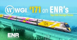
Florida is in the midst of a transportation revolution, with the game-changing Brightline High-Speed Railroad sitting at the forefront of innovation. This second-to-none rail system not only offers a compelling alternative to traditional vehicle travel but also champions sustainability as we continue to steer away from a dependency on fossil fuels.
HSR Constructors led the charge in bringing this transformative initiative to life, with WGI’s award-winning team having been commissioned to perform geospatial and land surveying services throughout the project’s execution.
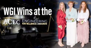
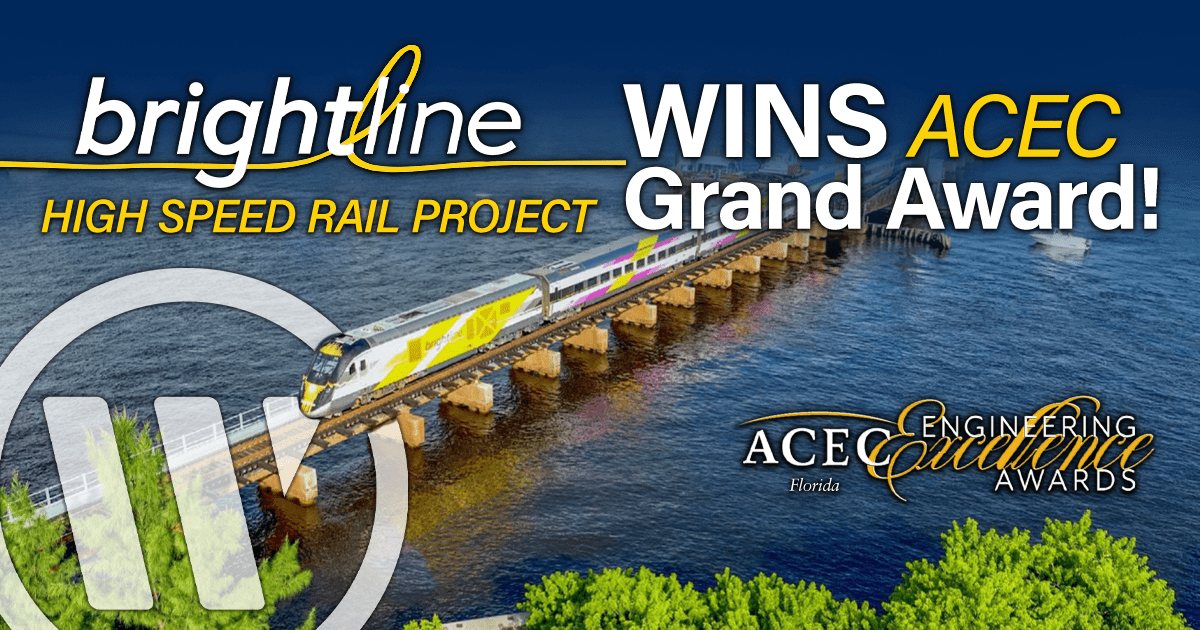
And let’s just say that WGI’s efforts have not gone unnoticed as we are immensely proud to announce that this incredible endeavor has clinched the prestigious 2024 ACEC Florida’s Engineering Excellence Grand Award in the Surveying & Mapping Category, a testament to Brightline’s groundbreaking impact on the communities in which it serves.
Historic Roots and Contemporary Innovation
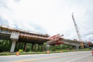
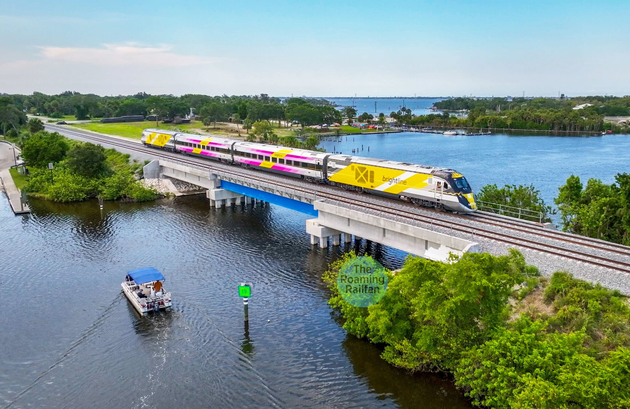
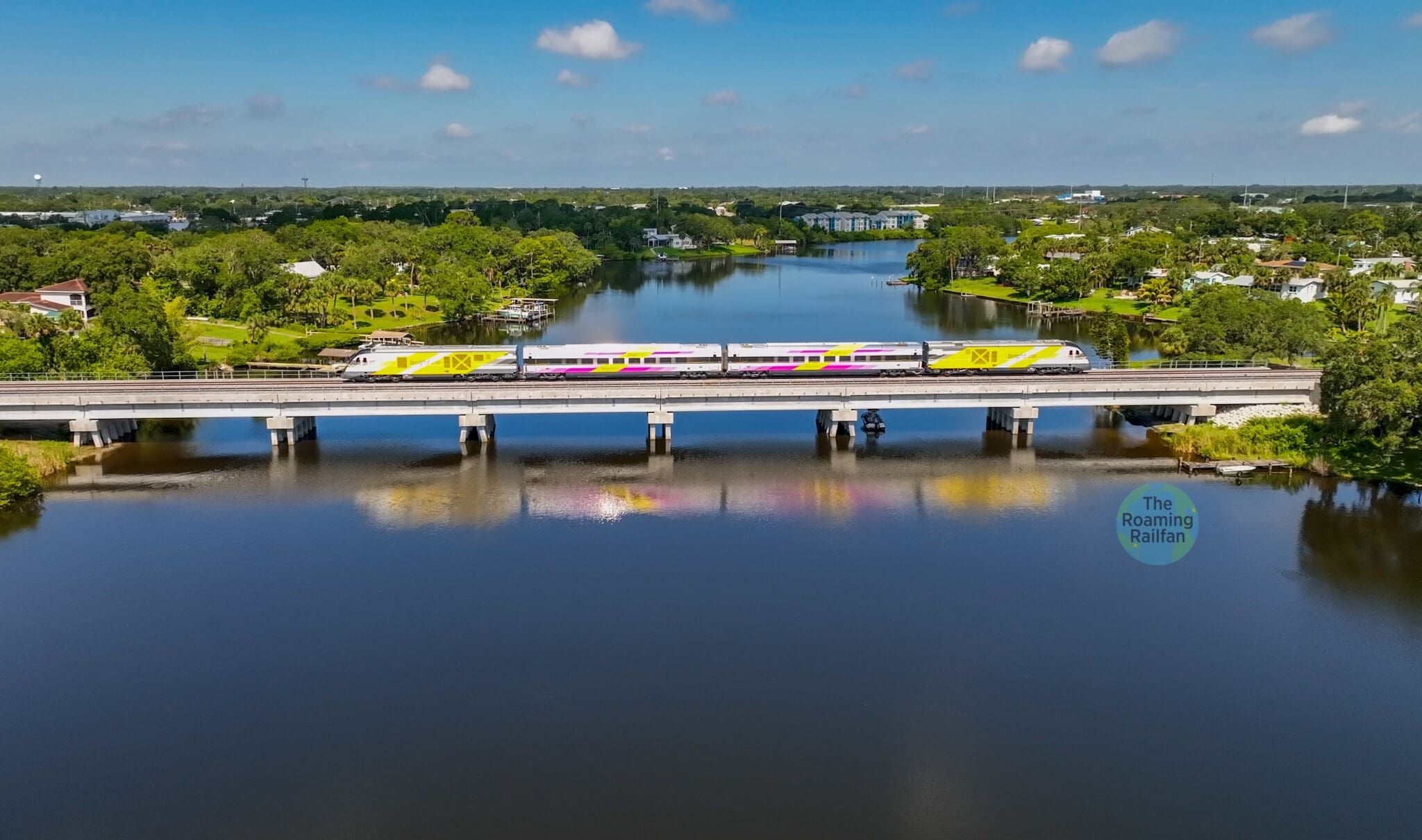
The Brightline project involved the construction of a dual-track railroad within the historic Florida East Coast Railway right of way, tracing its lineage back to 1885 and the visionary Henry M. Flagler. Covering 130 miles between West Palm Beach and Cocoa Beach, the railroad’s construction required meticulous surveying and geospatial services over a span of three years to ensure the project’s overall success.
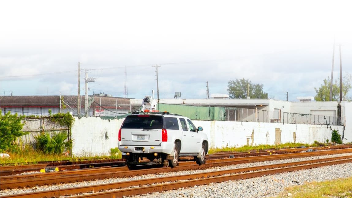
WGI’s primary tasks consisted of performing construction layout, surveying, and collecting asset information to be used by the contractor and engineering consultants for upgrading 130 railroad corridor miles to dual-track high-speed rail.
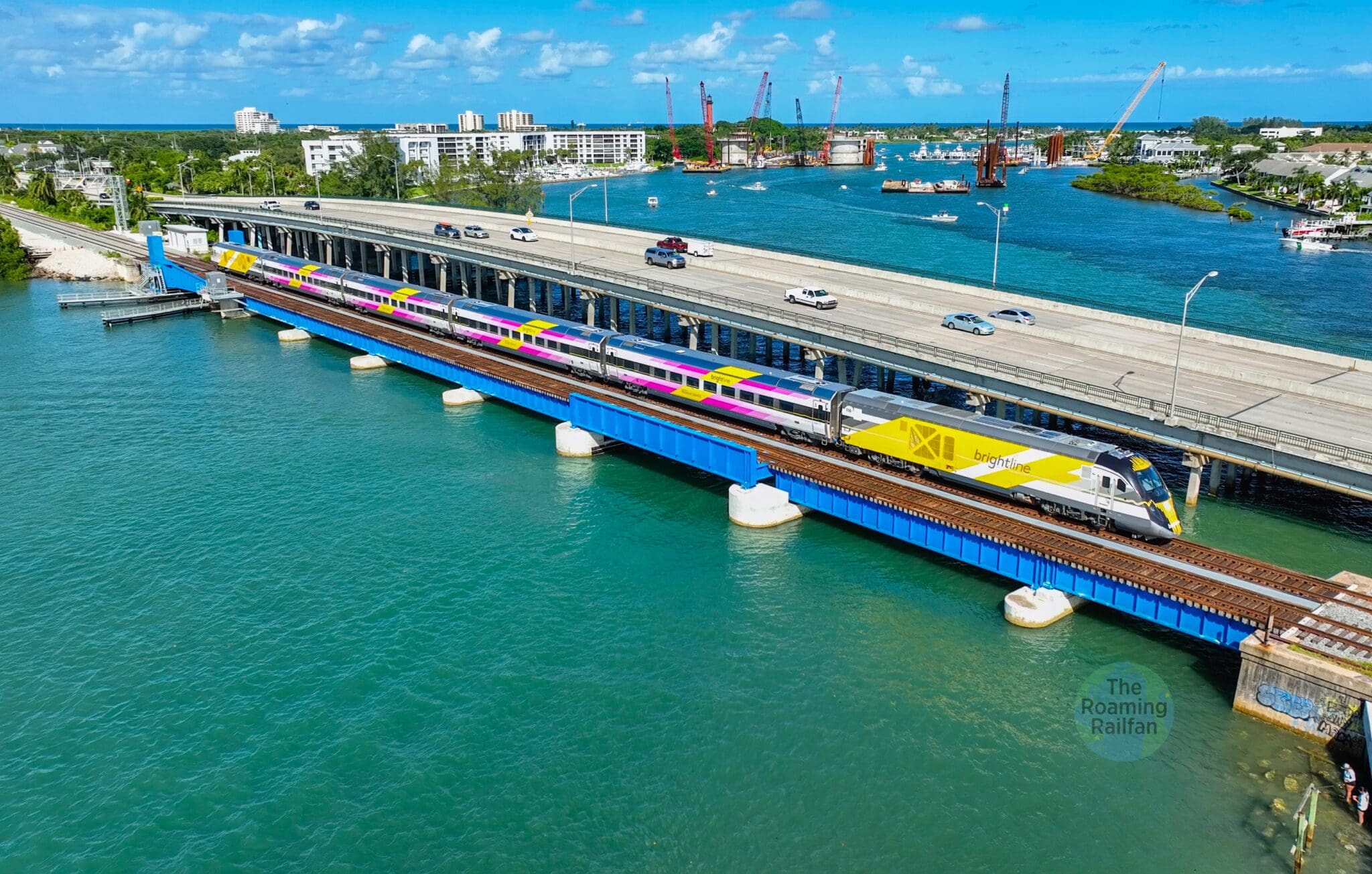
The scope of the project included improvements to 155 at-grade road crossings and 28 bridges crossing Florida’s waterways. Given the design and construction criteria for a Class 6 high-speed corridor (up to 120 mph), WGI’s requirements necessitated the deployment of unique measurement and monitoring technologies to meet the stringent accuracy criteria for the track geometry and rail gauge. The construction of 28 bridges – three of which were over 500’ in length, with the longest measuring 1,650’ and spanning the Sebastian River – required long-term monitoring to determine structural settlement and subsidence to ensure the safe operation of the train travel at high speed.
Cutting-Edge Geospatial Services
WGI, the project’s sole surveying and geospatial consultant, implemented a range of cutting-edge technologies to ensure the highest degree of precision and accuracy. Some of the highlighted services included:
- Geodetic Control for referencing all field observations
- Ground-Based Lidar Systems for 3D data collection containing the railroad, crossings, and bridges
- 360-degree Imagery Acquisition
- Hydrographic Surveys with both a small, unmanned vessel and a crewed multibeam hydrographic vessel
- Ground penetrating radar (GPR) and electromagnetic surveys to designate subsurface utilities within the railroad right-of-way
These measures were crucial in verifying existing conditions, assessing as-builts, and managing potential conflicts with the construction.
Project Complexities Resulting in Innovative Solutions
Given the expansive scope and technical intricacies of the project, WGI faced significant challenges.
Coordinating with as many as seven survey crews with working schedules that spanned seven days a week within active railroad right-of-way required innovative solutions – Enter WGI’s Work Order Tracking System (WOTS), a web-based tool that streamlined work requests, crew scheduling, rail protection, and specialized equipment coordination. The introduction of this innovative tool not only optimized efficiency but also significantly reduced overall project costs.
In response to concerns around the potential presence of construction debris in adjacent rivers and surrounding bridge footers, posing risks to boats and raising liability and safety concerns for navigation, WGI undertook the task of conducting thorough hydrographic surveys at various bridge locations. Employing advanced technology such as multi-beam sonar and Side Scanner sonar, WGI successfully captured high-resolution hydrographic survey data and sonar images, providing a detailed depiction of the underwater environment and identifying materials beneath the surface.
This hydrographic survey unexpectedly revealed valuable insights when it identified certain bridge footers as remnants of an old bridge. Thanks to this discovery, the construction team promptly addressed the issue, preventing potential complications and ultimately saving the owner a significant amount of time and money by preventing potentially expensive repairs that could have arisen later in the project.
Automated Monitoring for Efficiency and Safety
To address concerns around structural settlement and subsidence, WGI implemented a new and revolutionary automated monitoring system. Robotic stations equipped with cellular connections provided around-the-clock measurements, ensuring construction did not impact existing structures. This not only saved time but also enhanced safety by eliminating the need for manual measurements on the tracks.

Following construction, WGI utilized the Trimble GEDO CE 2.0 trolley equipped with a TSC 7 Data Collector and Robotic Module to measure rail gauge width and height with precision. The trolley also measured the incline of rails as they were installed.
By utilizing the trolley, WGI was able to provide measurements at two-foot intervals, rather than the traditional 50-foot intervals, and were able to do so in much less time—20% faster than traditional methods.
Future Applications and Lasting Impacts
The innovations introduced in the Brightline High-Speed Railroad project hold immense promise for future engineering endeavors. WGI’s robotic total station approach, trolley-based gauge measurements, and advanced sonar surveys are already finding applications in various projects across the nation, from mining sites to light rail construction.
It’s no secret – the lessons learned from this groundbreaking initiative are truly revolutionizing the future of geospatial engineering as we know it.
“HSRC chose WGI because of the capacity of their in-house surveying and SUE crews, as well as their vast technical resources. These high-quality surveying and mapping services and products were consistently delivered within the prescribed timeframe. They responsibly resolved technical issues while accommodating HSRC’s variable scheduling demands and budgetary constraints. HSRC was supported without interruption during the pandemic and finished on an accelerated seven-day-per-week construction schedule.
WGI’s resources, expertise, and experience have been instrumental to HSRC in the project’s progression throughout its continued evolution. The survey crews have been multiple award-winners for the prestigious HSR Constructors Safety Crew of the Month award and the Quality Crew of the Month award, possessing the requisite commitment and culture of safety necessary to work with HSR Constructors.”
Securing the ACEC Florida 2024 Engineering Excellence Grand Award guarantees WGI the opportunity to enter the National ACEC Engineering Excellence Awards competition, which honors engineering projects from across the world.
The Brightline High-Speed Railroad project stands as a testament to the transformative power of innovative geospatial solutions in shaping the future of transportation infrastructure. As the railway paves the way for a more sustainable and efficient future, the lessons learned from this endeavor will undoubtedly resonate across the geospatial industry and beyond.
Innovations in Lidar Mapping
Our team of experts know that the proper data acquisition solution can dramatically impact the cost and schedule of your next project – Download our Whitepaper: Innovations in Lidar Mapping for Transportation Infrastructure and unlock access to exclusive case studies and explore the cutting-edge lidar technologies that are shaping the future of survey and mapping activities across the nation.
Contact Us!
Contact WGI’s team, and let’s discuss the added value our team of experienced professionals can offer to help ensure your next project is an award winner!