Learn from award-winning professionals — explore our whitepapers, blogs, and the latest industry updates.
Join our dynamic organization of engineers, land surveyors, landscape architects, environmental scientists, and architects!
Talk to a market leader today! We’ll answer any questions you have about our professional services.
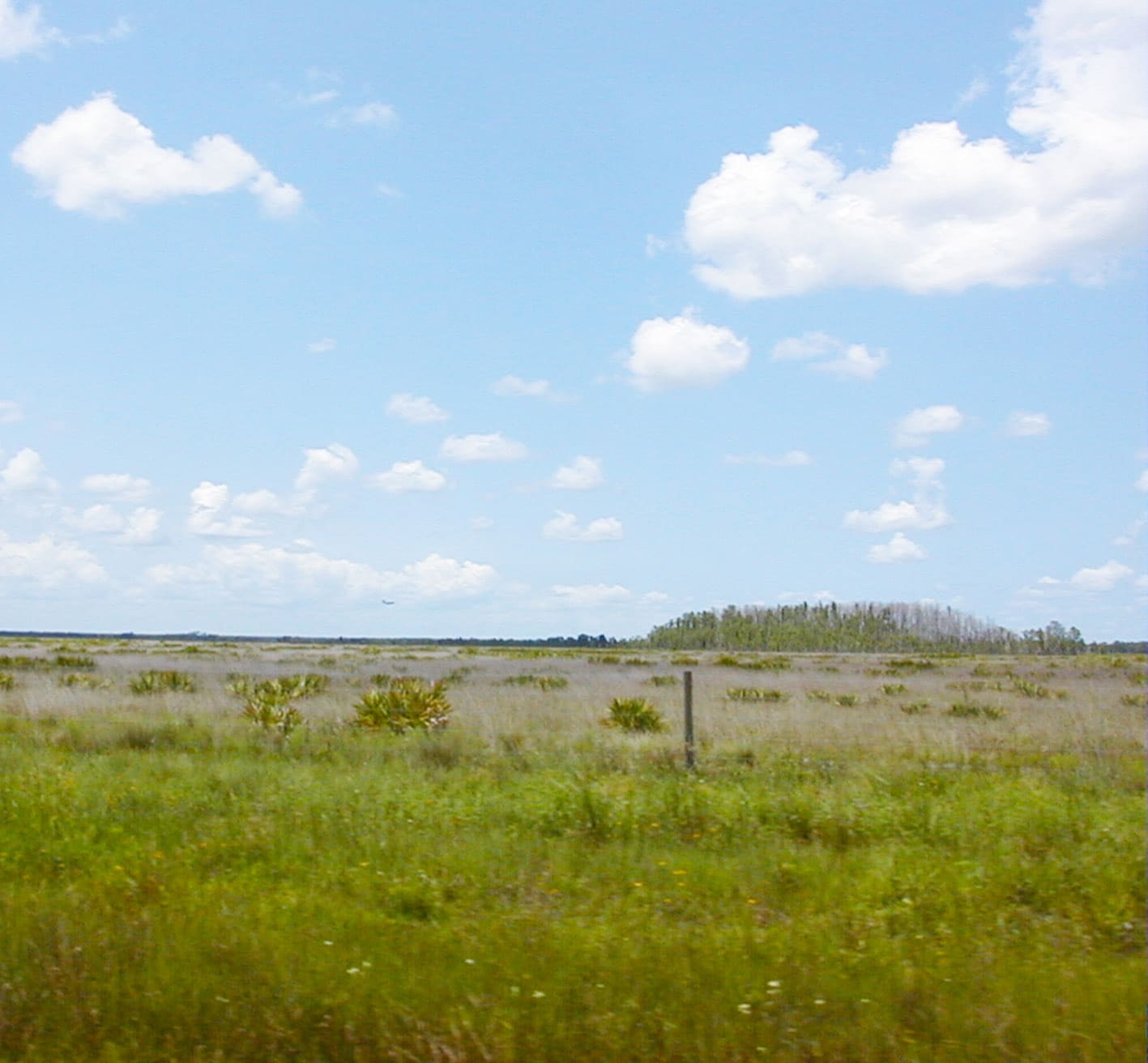
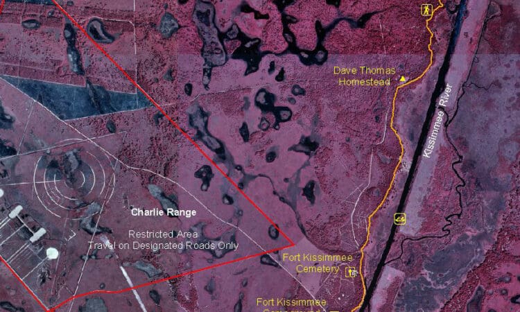
WGI established vertical control points at monitoring well sites in Hendry County. Points were then entered into the South Florida Water Management District (SFWMD) database. The project tested the application of Federal Geodetic Control Subcommittee (FGCS) Second-Order, Class II leveling procedures with Third-Order equipment.
The goal of the hybrid pairing of procedures and equipment was to produce leveling measurements acceptable to the National Geodetic Survey (NGS) for use in future vertical adjustments throughout SFWMD.
The majority of the survey work took place on an active military bombing range. Field crews and project managers underwent safety orientations with the Air Force’s Range Commander before project commencement.
Sign up to receive emails to hear our latest news and achievements in our monthly newsletter.
Enter your zip code, and we’ll personalize your experience with local projects, office locations, team members, and more.
WGI supports its associates with meaningful opportunities for growth, strong benefits and perks, while we work collaboratively with clients and co-consultants to shape and improve communities.
WGI is a dynamic organization with opportunities nationwide for engineers, land surveyors, landscape architects, environmental scientists, and architects.