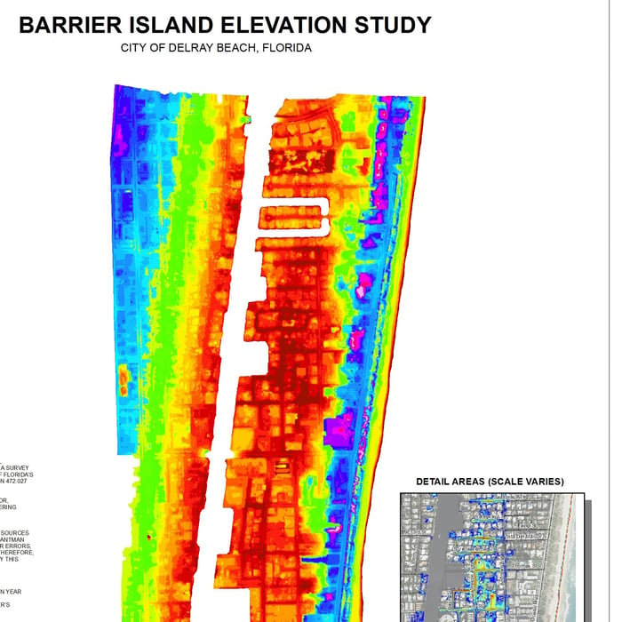
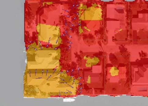
WGI staff provided a bare-earth reduction elevation dataset within a 9 square-mile study area along Delray Beach’s Barrier Island. Publicly available Florida Department of Disaster Management aerial LiDAR (Light-Detection and Ranging) information was enriched and color coded using WGI’s laser scanning processing software and ArcMap’s Spatial Analyst Extension. This “point cloud” data was rectified to the National Geodetic Vertical Datum of 1929 (NGVD29) for comparison with FEMA flood maps. Low lying areas were identified through this information and correlated to existing drainage information for use in planning of future public works and sea level rise improvement projects.
.png?width=185&height=175&name=WGI%20Icon_Green%20(1).png)


















 PORT ST. LUCIE
%20copy%203.png?width=640&height=420&name=MicrosoftTeams-image%20(2)%20copy%203.png)