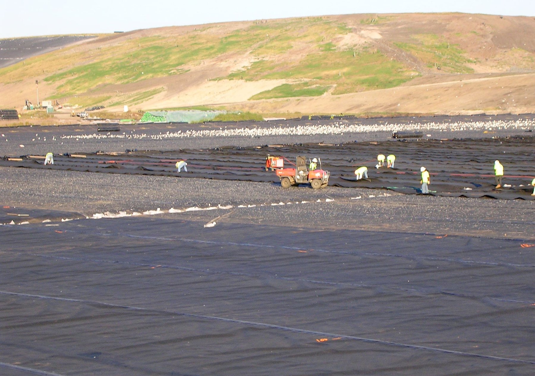
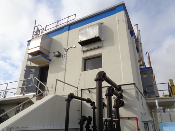
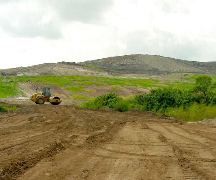
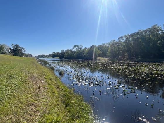
Though the original scope of this project was to provide GPS control on aerial targets for aerial mapping, WGI’s role quickly changed to include complete surveying services for not only the active landfill but also the 1,000+ acres of conservation and mitigation restoration areas. Services included layout and staking of new buildings and landfill cell areas, boundary and topographic surveys, monthly quantity surveys, construction layout, and several sketch and legal descriptions for utility easements and conservation areas. Survey field crews were trained to work around multiple hazards and regulatory requirements associated with a fully operational landfill.
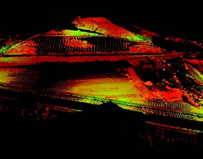
In addition, WGI provided the client with quarterly quantity surveys of the waste stream coming into the facility. Utilizing the latest in high-definition laser scanning equipment and technology, WGI was able to deliver the quantity surveys more accurately and in less time than if conventional surveying techniques were used, thereby resulting in lower costs to the client.
.png?width=185&height=175&name=WGI%20Icon_Green%20(1).png)


















 PORT ST. LUCIE