Project Details
Project at a Glance
Contact Our Team About Your Next Project.
At WGI, we creatively transform how our world is envisioned, designed, and experienced. Our expert team of professional engineers is ready to help.


WGI is a national design firm creatively transforming infrastructure and real estate through tech-driven services.
You’ve seen our award-winning team, proven expertise, and industry authority. Now let’s make your next project a success.
Our Executive Leadership Team and Practice Area Leaders bring decades of experience and client successes to your next project.
Our nationwide team of engineers, surveyors, planners, and architects offers
market-leading experience.
Our blog covers client interests like infrastructure, real estate, regulations, and smart, connected communities.
Our whitepapers highlight our design experts' innovative insights and best practices for the AEC industry.
Dedicated to your success, we invite you to subscribe to our newsletter for the latest news, case studies, and insights.
Our passionate design professionals frequently share their expertise at webinars and virtual events.
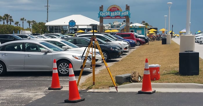
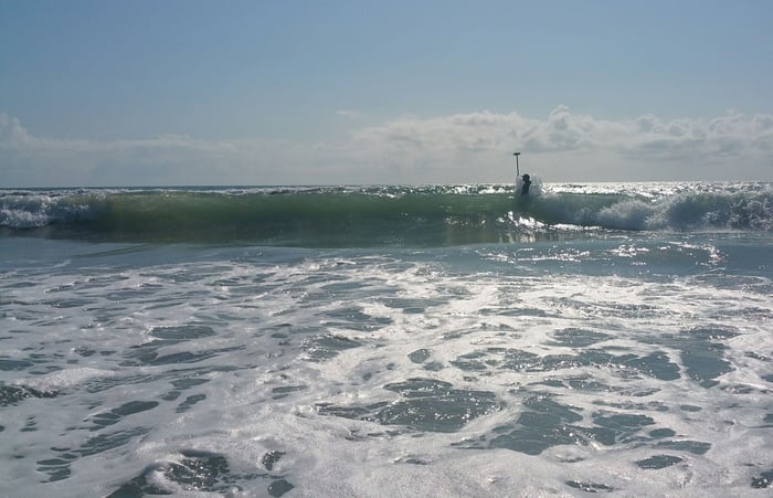
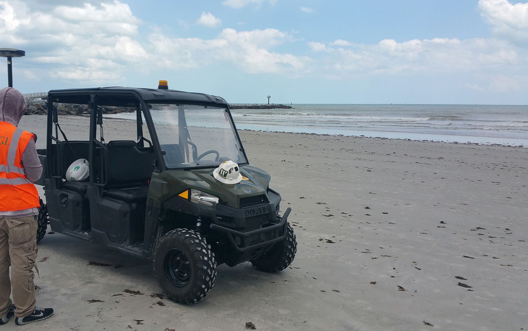
WGI performed a coastal hydrographic and topographic survey spanning approximately 16 miles of shoreline. The purpose of this survey was to acquire data along selected profile lines in order to support the temporal monitoring of Cocoa Beach, Melbourne Beach, and the adjacent submerged lands of the Atlantic Ocean to 3,000 feet offshore. Daily coordination was vital between land-based topographic crews and hydrographic crews to meet stringent FDEP and USACE standards for acquisition overlap and time standards. Deliverables included a surveyors report, FDEP-formatted range line data files, FDEP Monument Information Report, specific topographic, hydrographic, and composite DTM ASCII files, and an ESRI GIS shape file.
At WGI, we creatively transform how our world is envisioned, designed, and experienced. Our expert team of professional engineers is ready to help.