Learn from award-winning professionals — explore our whitepapers, blogs, and the latest industry updates.
Join our dynamic organization of engineers, land surveyors, landscape architects, environmental scientists, and architects!
Talk to a market leader today! We’ll answer any questions you have about our professional services.
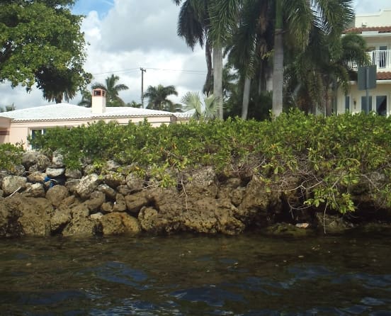
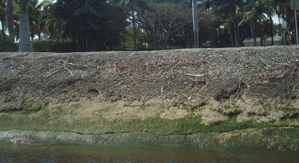
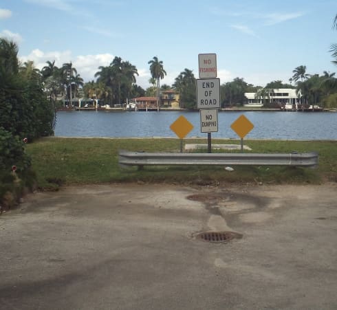
WGI performed a topographic survey to support a Planning Assistance to the States (PAS) project, located in the Hollywood Lakes neighborhood along the Intracoastal Waterway in Broward County. Topographic data points and hydrographic soundings were obtained along eight miles of seawalls and grass berms and several detailed areas utilizing RTK GPS from a vessel. Data was used to model existing conditions that relate to increasingly frequent flooding of local streets, particularly during extreme high tide events, and facilitate alternative plans to reduce floodings, such as installing or raising seawalls or raising waterfront elevation streets or land. Deliverables included a Surveyor’s Quality Control report, GIS shapefiles, and a 3D ESRI GIS database with attribute fields containing observation locations, seawall material, width, adjacent bottom elevations, and photos of acquisition locations.Â
Sign up to receive emails to hear our latest news and achievements in our monthly newsletter.
Enter your zip code, and we’ll personalize your experience with local projects, office locations, team members, and more.
WGI supports its associates with meaningful opportunities for growth, strong benefits and perks, while we work collaboratively with clients and co-consultants to shape and improve communities.
WGI is a dynamic organization with opportunities nationwide for engineers, land surveyors, landscape architects, environmental scientists, and architects.