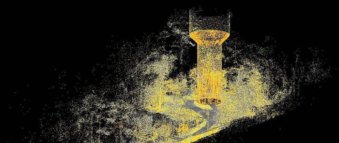
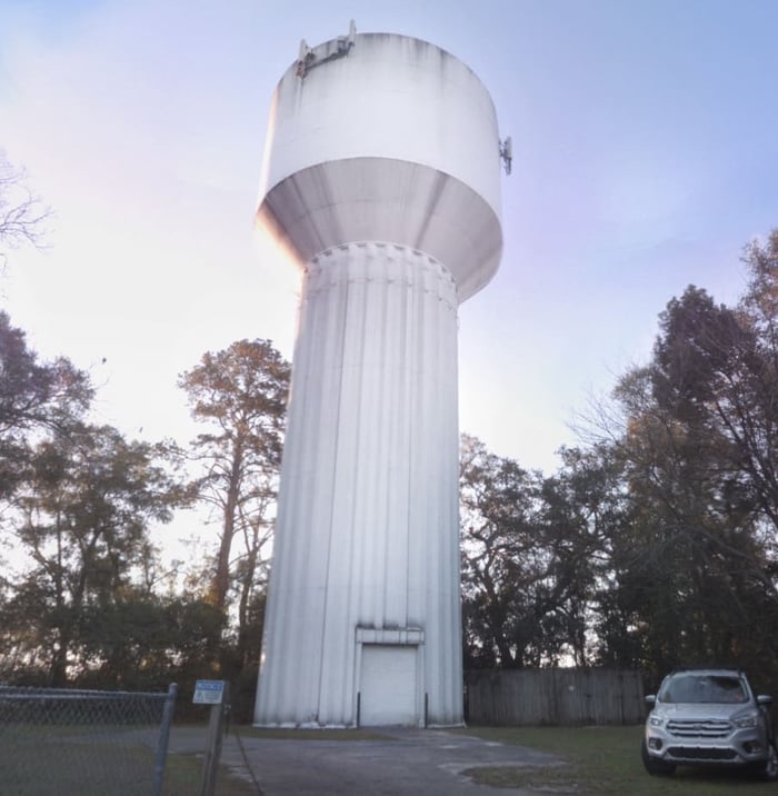
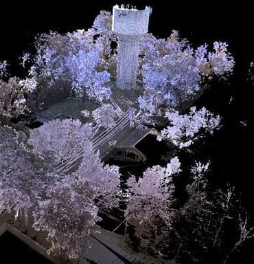
City of Tallahassee Water Tank No. 5 provides water resources to the northwest portion of the City of Tallahassee and Leon County, Florida. This survey project was awarded to WGI for our innovative technological applications. Static LiDAR was utilized to create a point cloud of the water tank and the surrounding property. The point cloud was used to create a 3-Dimensional model of the water tank and to determine the ground topography mapping. A boundary survey was also performed on the City of Tallahassee parcel containing the water tank structure. The boundary survey included retracement of historic corners associated with the original plat of sectionalized land in northwest Leon County, being the Supplementary Map of the Plantation of the Florida Pecan Endowment Company dating back to February 7th, 1916.
Project Highlights:
• WGI utilized a static Terrestrial LiDAR scanner and a backpack Terrestrial Mobile LiDAR scanner to create a point cloud of the City of Tallahassee Elevated Water Tank No. 5. This is one of 4 Water Tank sites that WGI has surveyed for the City of Tallahassee.
.png?width=185&height=175&name=WGI%20Icon_Green%20(1).png)


















 PORT ST. LUCIE
%20copy%203.png?width=640&height=420&name=MicrosoftTeams-image%20(2)%20copy%203.png)