WGI Icon_Green (1)
WGI Projects
Project Experience

Learn more about successful projects from some of our clients.

Plan Your Next Project!

Kick-start your next project with this quick step-by-step intake form.
About
WGI

WGI is a national design firm creatively transforming infrastructure and real estate through tech-driven services.

Our
Locations

You’ve seen our award-winning team, proven expertise, and industry authority. Now let’s make your next project a success.

Meet Our
Leadership Team

Our Executive Leadership Team and Practice Area Leaders bring decades of experience and client successes to your next project.

Our Practice Area Leadership

Our nationwide team of engineers, surveyors, planners, and architects offers
market-leading experience.

Firm Registrations

WGI holds nationwide registrations to perform engineering, surveying, architecture, and environmental science services.
WGI
Insights Blog

Our blog covers client interests like infrastructure, real estate, regulations, and smart, connected communities.

Whitepapers & Publications

Our whitepapers highlight our design experts' innovative insights and best practices for the AEC industry.

News &
Press Releases

Dedicated to your success, we invite you to subscribe to our newsletter for the latest news, case studies, and insights.

WGI
Media Room

Our passionate design professionals frequently share their expertise at webinars and virtual events.

Danforth Creek

Client:
Martin County
Market:
Water & Environment
Location:
Martin County, FL

Project Details

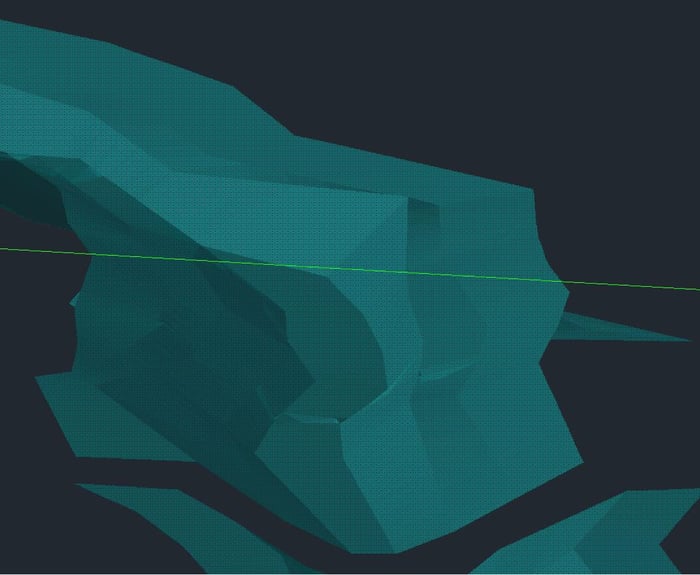
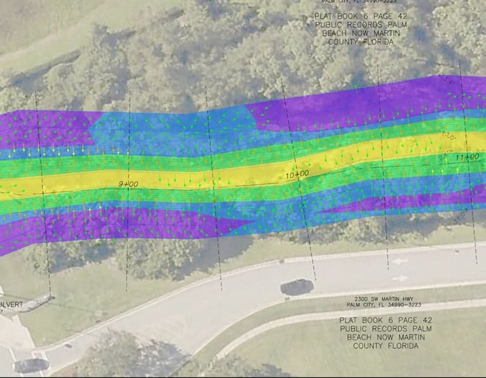
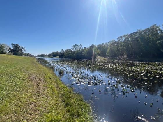
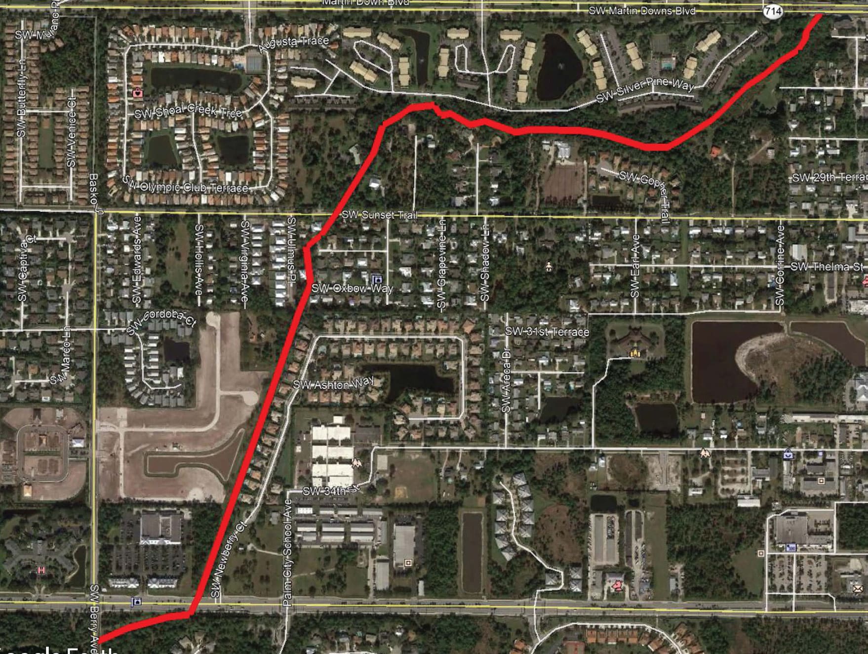
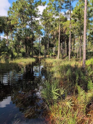
WGI assisted the County in assessing bank slopes by collecting aerial data along 1.5 miles of Danforth Creek from a drone outfitted with a Riegl VUX-1UAV LiDAR sensor. Much of this corridor included natural areas of heavy vegetation, and aerial LiDAR penetrated the thick canopy to collect the dense data needed to calculate the slopes at the intervals requested. WGI used conventional topography (RTK GPS) methods to add detail where needed and check and verify the point cloud. Once registered into a unified point cloud, break lines extracted and modeled, the deliverable illustrated the slopes of the dry banks as cross-sections and a colorized digital rendering highlighting areas of concern to the County.

The County then used the survey data to plan and budget for canal stabilization and reduce slope failure in strategic areas. Structures and improvements near Danforth Creek’s top bank were reviewed to either clear or plan for restoration to mitigate the areas of concern.

Project Highlights:

• UAV LiDAR
• Heavily Vegetated

Project at a Glance

  • Danforth Creek — image 1
  • Danforth Creek — image 2

Contact Our Team About Your Next Project.

At WGI, we creatively transform how our world is envisioned, designed, and experienced. Our expert team of professional engineers is ready to help.