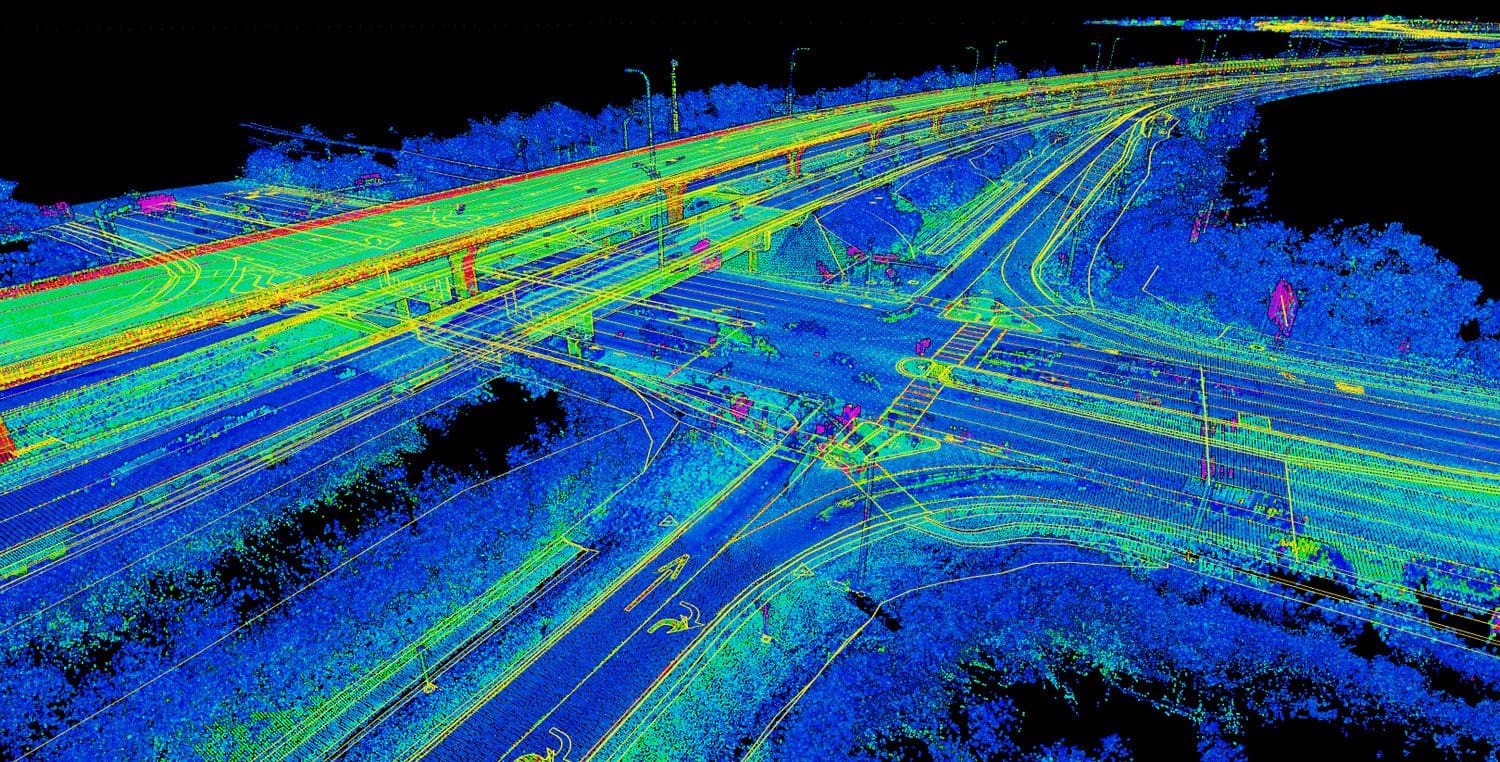
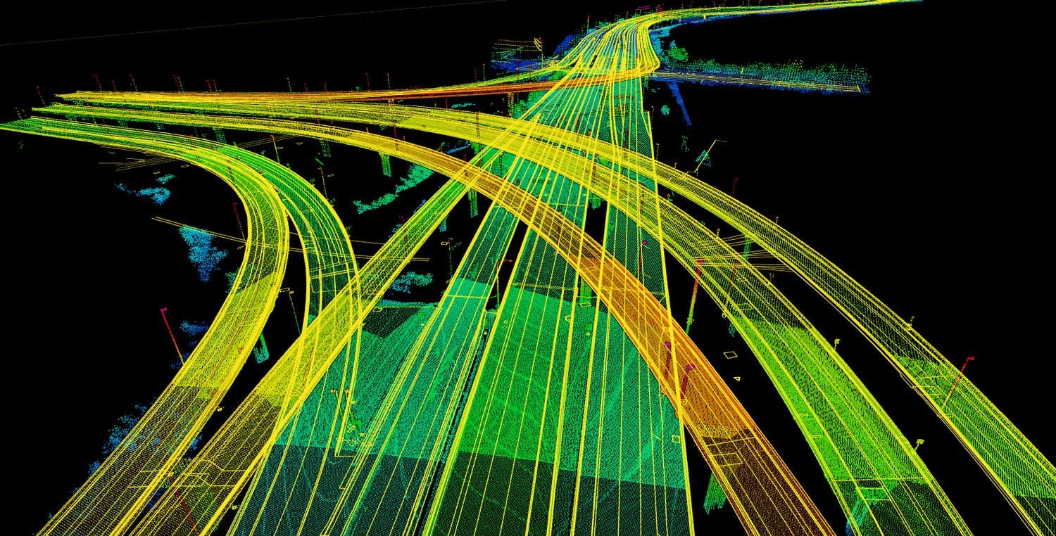
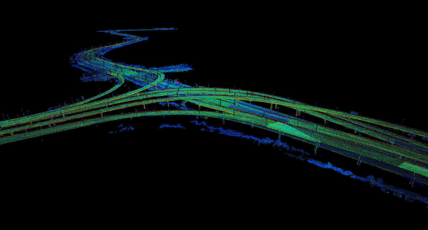
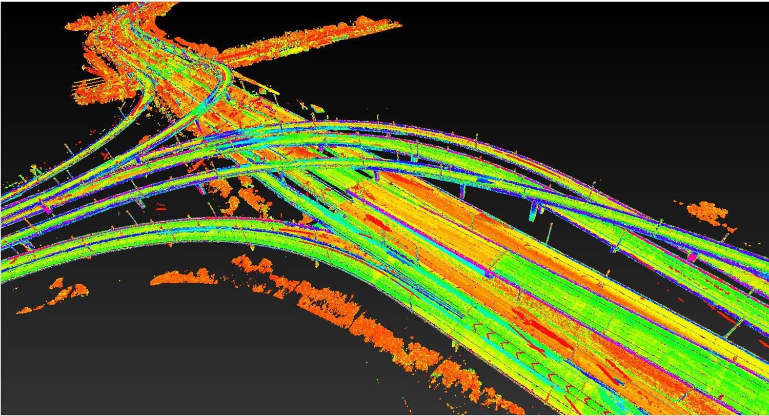
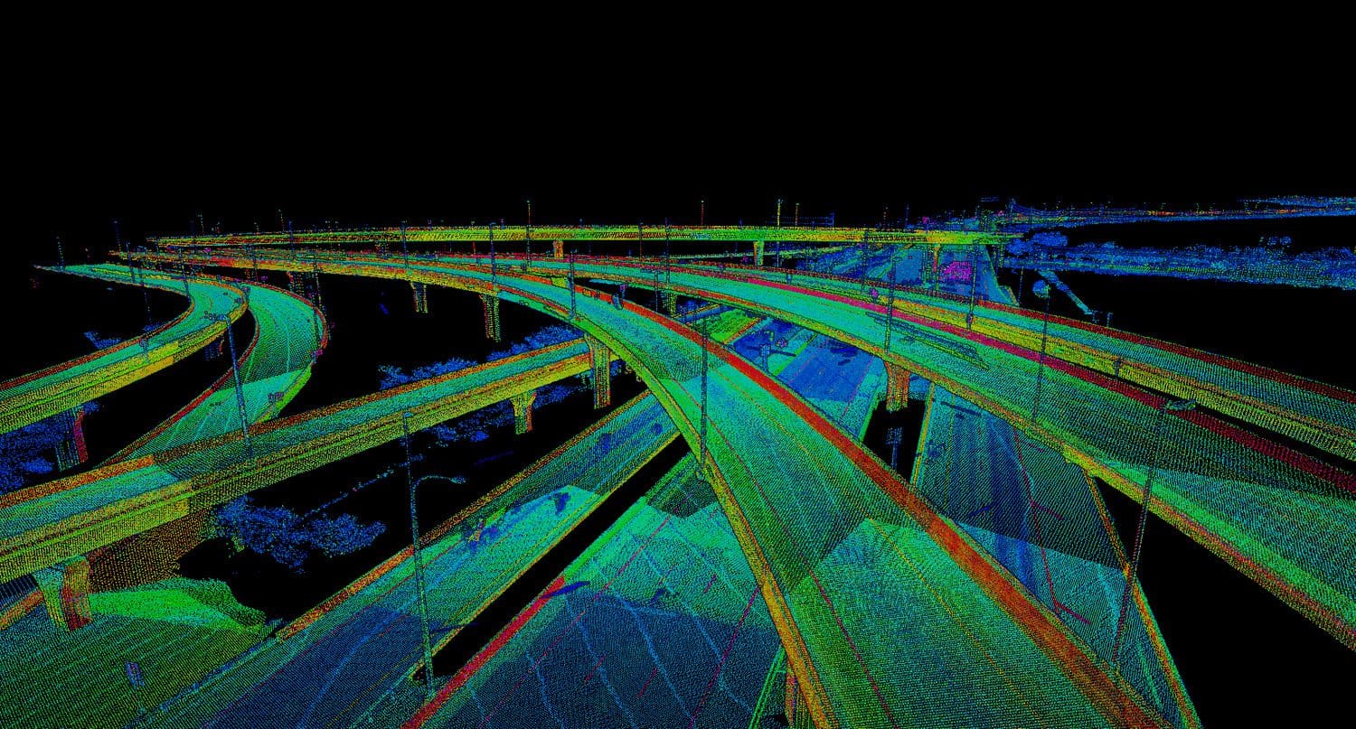
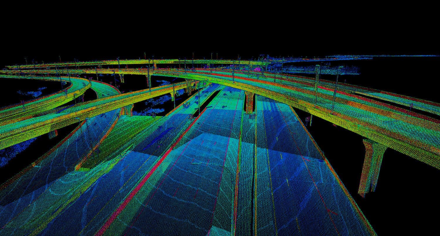
This unique roadway corridor containing limited-access roadways, raised reversible expressways, sideroads, intersecting railroads, and an extensive network of on and off-ramps made the design survey for the widening of the roadway a unique data collection challenge. The project includes innovative solutions to integrate mobile LiDAR and static LiDAR in very challenging environments while developing a robust permanent control network for Tampa.
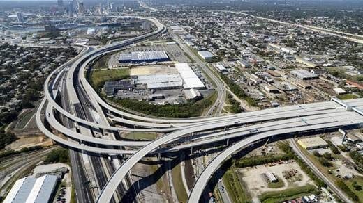
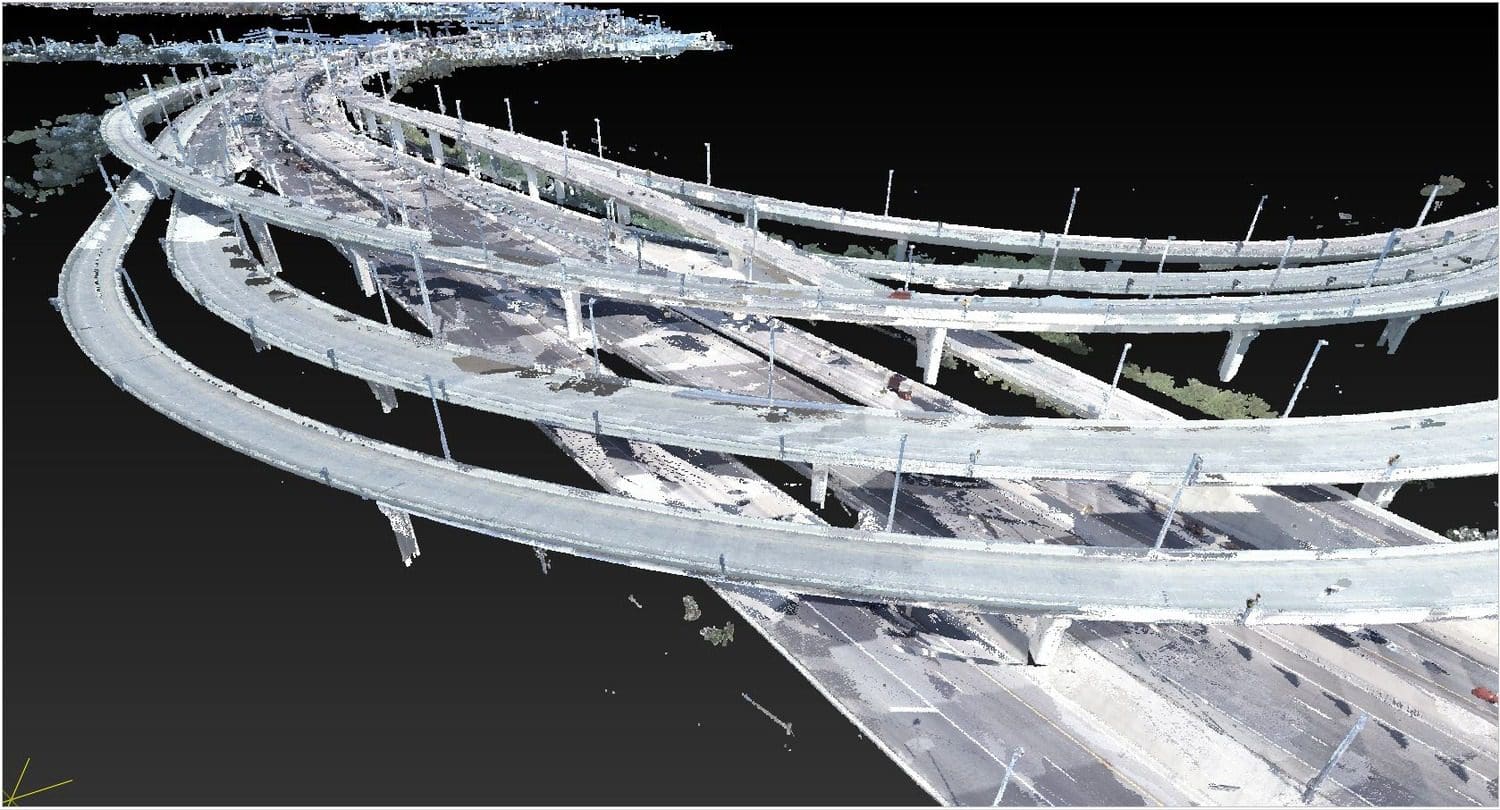
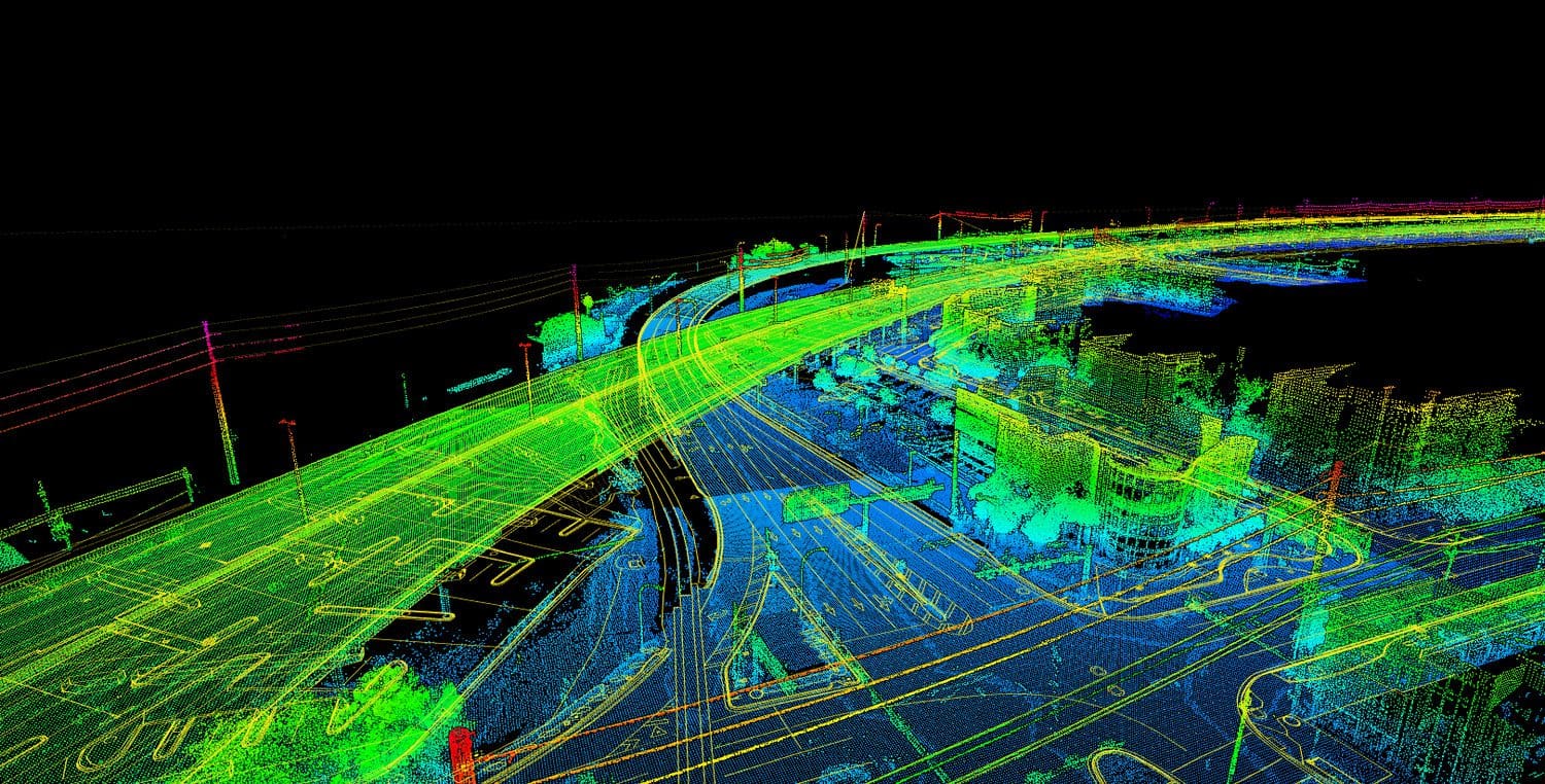
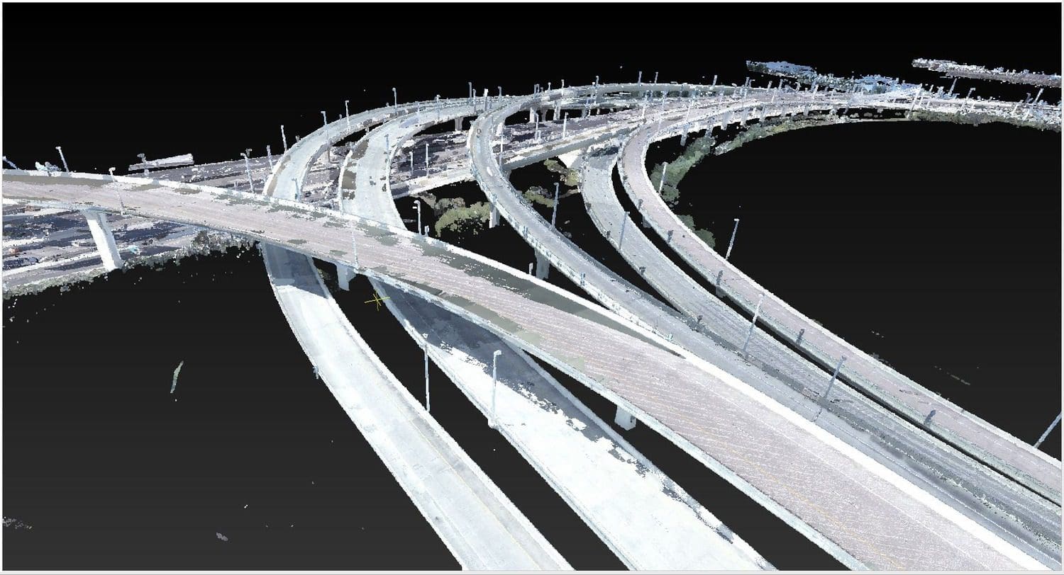
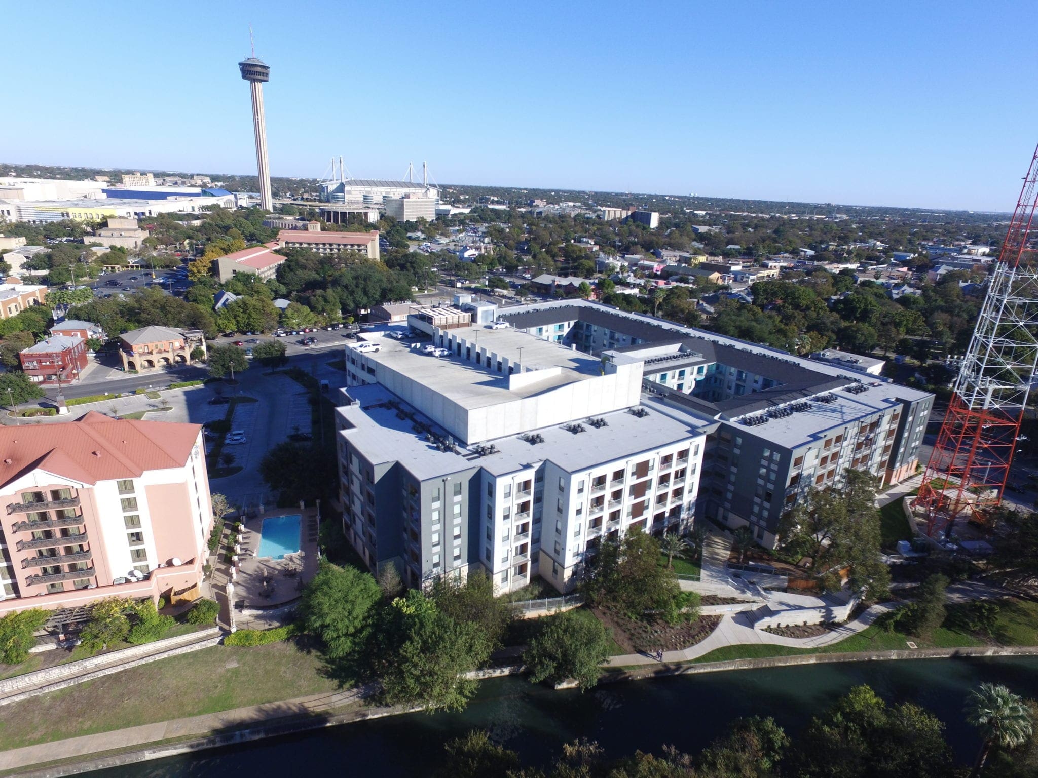
WGI assisted the Tampa Hillsborough Expressway Authority (THEA) on the Project Development and Environmental (PD&E) study of the East Selmon Expressway. This nine-mile section of the Expressway is a highly trafficked transportation route that connects Tampa’s suburbs to the developing downtown Tampa area and links two of the most traveled interstates in Florida. This complex roadway includes a four-lane limited-access highway and a three-lane raised reversible toll expressway. This roadway contains 46 bridges and 34 ramps that connect to 14 intersection roads and two interstate systems. WGI created an accurate control network throughout the project limits for a detailed 3D terrain and structures model with an accuracy of 0.05 feet or less. WGI collected 85 miles of Terrestrial Mobile LiDAR (TML) using the Leica Pegasus LiDAR unit and two Leica P50 static scanners to scan areas and bridges obscured by the mobile LiDAR’s laser line of sight. The adjusted and merged 3D point clouds allowed for the extraction and modeling of the 9.5-mile corridor producing a merged 3D model and database.
Project Highlights:
- Selmon Expressway includes limited access roadways, raised reversible expressways, sideroads, intersecting railroads, and multiple on/off ramps. Design survey efforts for widening this roadway corridor posed unique opportunities with regard to geospatial data collection. WGI applied innovative solutions to integrate Terrestrial Mobile LiDAR (TML) and static LiDAR in challenging environments and developed a robust control network to serve the downtown Tampa area for years to come.