Learn from award-winning professionals — explore our whitepapers, blogs, and the latest industry updates.
Join our dynamic organization of engineers, land surveyors, landscape architects, environmental scientists, and architects!
Talk to a market leader today! We’ll answer any questions you have about our professional services.
Seminole Tribe of Florida’s (STOF) Immokalee Reservation comprises approximately one (1) square mile with various land use designations, including agricultural, commercial, governmental, communal, educational, cultural, residential, and other uses. STOF required the development of a comprehensive stormwater management master plan (Stormwater Master Plan) to improve the area’s drainage.
The study area included the entire Reservation and the STOF Trust Property along the south side of Stockade Road; however, in some locations, the Reservation/STOF Trust Property boundary did not coincide with a hydrologic boundary, and in those cases, the study area boundary extended beyond the Reservation/STOF Trust Property to include relevant basins, water bodies and water control structures/facilities that affect drainage/flooding conditions within the Reservation/STOF Trust Property as well as the full extent of any basins that contribute stormwater flow to the Reservation/STOF Trust Property.
WGI worked with STOF to gain access to tribal lands during the pandemic, where outside consultants were not allowed. WGI crews followed all safety protocols that were in place and signed in daily.
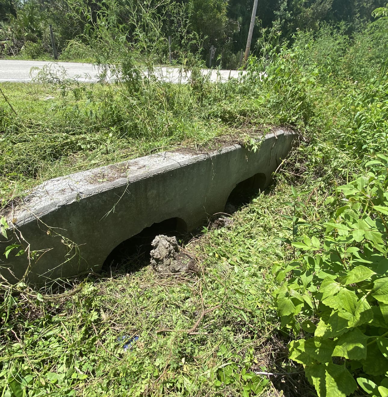
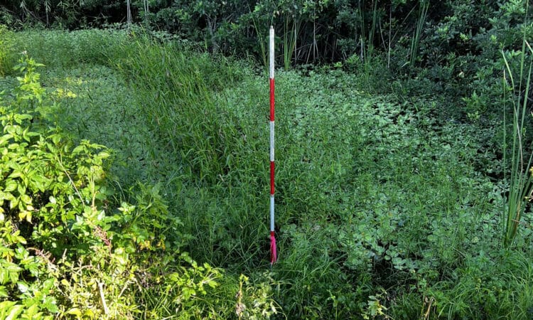
WGI made numerous visits to the site to selective gather data at the request of the Engineer of Record (EOR). Survey crews located over 600 points for drainage structures, cross-sections, finished floor elevations, borings, and seasonal water line marks. The drainage included a dozen control structures, 50+ culverts, and 100 invert measurements. The water line marks were determined by WGI environmental scientists and later located by WGI survey crews.
The deliverable to the client and STOF involved a detailed data report and photo documentation of each feature, including an AutoCAD file.
Sign up to receive emails to hear our latest news and achievements in our monthly newsletter.
Enter your zip code, and we’ll personalize your experience with local projects, office locations, team members, and more.
WGI supports its associates with meaningful opportunities for growth, strong benefits and perks, while we work collaboratively with clients and co-consultants to shape and improve communities.
WGI is a dynamic organization with opportunities nationwide for engineers, land surveyors, landscape architects, environmental scientists, and architects.