Learn from award-winning professionals — explore our whitepapers, blogs, and the latest industry updates.
Join our dynamic organization of engineers, land surveyors, landscape architects, environmental scientists, and architects!
Talk to a market leader today! We’ll answer any questions you have about our professional services.
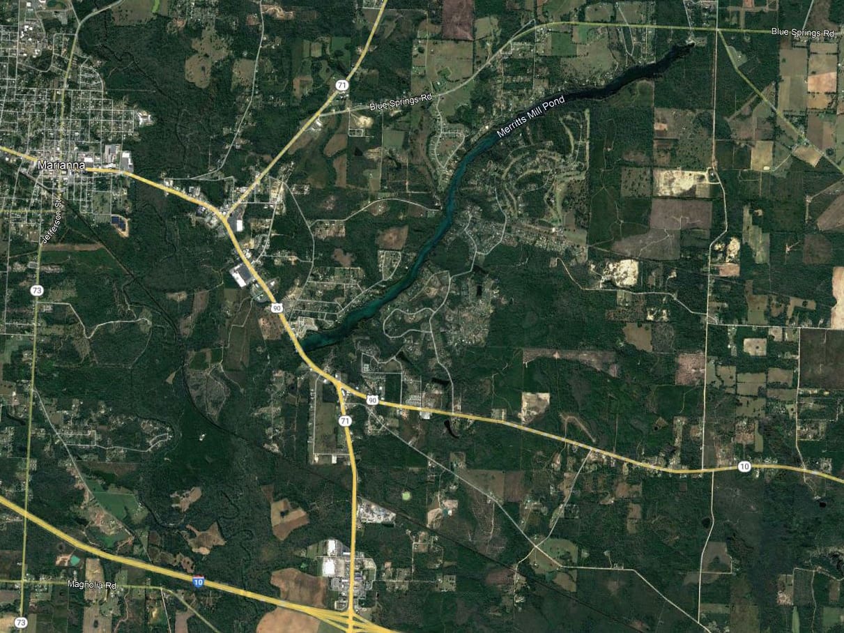
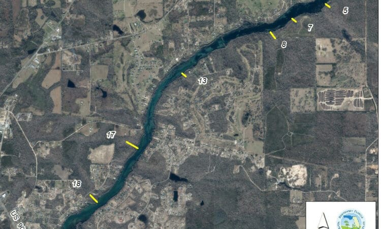
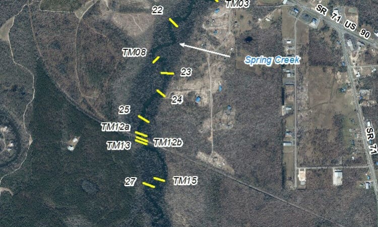
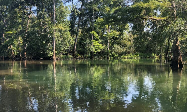
A specific purpose survey was completed to depict elevation data along and up to twenty transects to support the development of Minimum Flows and Levels for the Jackson Blue Spring. As defined by the client, six upland transect lines were performed for Merrits Mill Pond and extended from a water depth of 3 feet to the upland edge. The remainder of transects were completed along Spring Creek and the Chipola River from the top of the bank to the top of the bank at 5-foot intervals. Benchmarks were set at each transect line, and additional benchmarks were set at monitoring locations throughout the project limits. WGI utilized traditional survey methods along with GPS and bathometry to collect the requested elevation data.
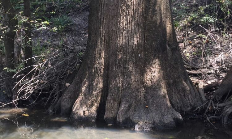
• Significant weather events during the course of this project caused Spring Creek and the Chipola River to flood over its banks, making it challenging to complete the tasks within the allotted schedule. However, adjustments were made so that the final deliverables were submitted on time.
Sign up to receive emails to hear our latest news and achievements in our monthly newsletter.
Enter your zip code, and we’ll personalize your experience with local projects, office locations, team members, and more.
WGI supports its associates with meaningful opportunities for growth, strong benefits and perks, while we work collaboratively with clients and co-consultants to shape and improve communities.
WGI is a dynamic organization with opportunities nationwide for engineers, land surveyors, landscape architects, environmental scientists, and architects.