Learn from award-winning professionals — explore our whitepapers, blogs, and the latest industry updates.
Join our dynamic organization of engineers, land surveyors, landscape architects, environmental scientists, and architects!
Talk to a market leader today! We’ll answer any questions you have about our professional services.
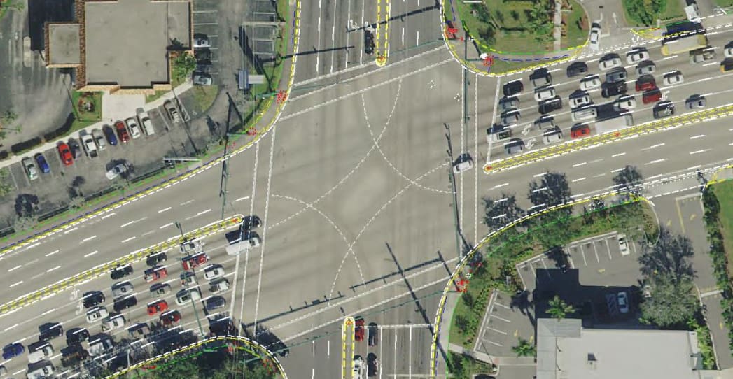
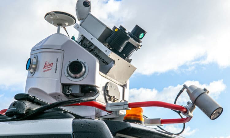
WGI was selected by the City of Greenacres to provide a terrestrial mobile LiDAR (TML) deliverable along Lake Worth Road and Jog Road in support of landscape analysis and landscape design improvements. The purpose of this survey was to provide two-dimensional (2D) topographic survey and right-of-way lines as per the Palm Beach County Property Appraiser’s publicly available geographic information systems (GIS) database. TML techniques were used to collect all field data including all trees located in the city’s right-of-way less any obscured areas.
Specifically, the project consisted of over four miles along Jog Road and 2.5 miles along Lake Worth Road (SR 802) with both streets intersecting in the graphic shown. The project extended from apparent right-of-way to right-of-way.
This was a bid and schedule based selection, and WGI’s long experience with TML allowed us to competitively bid the project in accordance with City’s expectations, and beat the next nearest proposed schedule by half.
Sign up to receive emails to hear our latest news and achievements in our monthly newsletter.
Enter your zip code, and we’ll personalize your experience with local projects, office locations, team members, and more.
WGI supports its associates with meaningful opportunities for growth, strong benefits and perks, while we work collaboratively with clients and co-consultants to shape and improve communities.
WGI is a dynamic organization with opportunities nationwide for engineers, land surveyors, landscape architects, environmental scientists, and architects.