Learn from award-winning professionals — explore our whitepapers, blogs, and the latest industry updates.
Join our dynamic organization of engineers, land surveyors, landscape architects, environmental scientists, and architects!
Talk to a market leader today! We’ll answer any questions you have about our professional services.
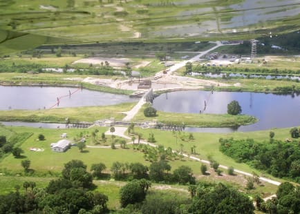
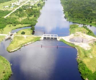
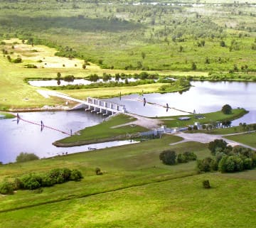
WGI was responsible for the preparation of a topographic survey of three control structures along the Kissimmee River for the purpose of recording all fixed improvements including, but not limited to, flood gates, locks, building improvements and top-of-bank, along with detailed hydrographic surveys of all eroded and scour areas within the cross section limits. The topographic survey was delivered in state plane coordinates, North American Datum of 1983, 1999 adjustment (NAD 1983/1999) and National Geodetic Vertical Datum of 1929 (NGVD 1929) This information was utilized to determine corrective measures to stop the erosion following several hurricanes. WGI was later contracted to provide construction staking for the improvement repairs.
Sign up to receive emails to hear our latest news and achievements in our monthly newsletter.
Enter your zip code, and we’ll personalize your experience with local projects, office locations, team members, and more.
WGI supports its associates with meaningful opportunities for growth, strong benefits and perks, while we work collaboratively with clients and co-consultants to shape and improve communities.
WGI is a dynamic organization with opportunities nationwide for engineers, land surveyors, landscape architects, environmental scientists, and architects.