WGI Icon_Green (1)
WGI Projects
Project Experience

Learn more about successful projects from some of our clients.

Plan Your Next Project!

Kick-start your next project with this quick step-by-step intake form.
About
WGI

WGI is a national design firm creatively transforming infrastructure and real estate through tech-driven services.

Our
Locations

You’ve seen our award-winning team, proven expertise, and industry authority. Now let’s make your next project a success.

Meet Our
Leadership Team

Our Executive Leadership Team and Practice Area Leaders bring decades of experience and client successes to your next project.

Our Practice Area Leadership

Our nationwide team of engineers, surveyors, planners, and architects offers
market-leading experience.

Firm Registrations

WGI holds nationwide registrations to perform engineering, surveying, architecture, and environmental science services.
WGI
Insights Blog

Our blog covers client interests like infrastructure, real estate, regulations, and smart, connected communities.

Whitepapers & Publications

Our whitepapers highlight our design experts' innovative insights and best practices for the AEC industry.

News &
Press Releases

Dedicated to your success, we invite you to subscribe to our newsletter for the latest news, case studies, and insights.

WGI
Media Room

Our passionate design professionals frequently share their expertise at webinars and virtual events.

Lake Okeechobee Hydrographic Survey

Market:
Water & Environment, Marine & Coastal
Location:
Pahokee, FL

Project Details

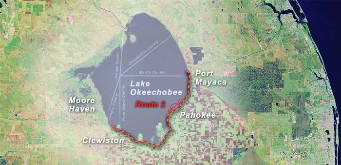
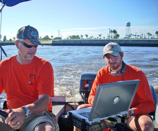
A hydrographic survey was performed on the southeast shore of Lake Okeechobee for a proposed project known as the Pahokee Marina Eco-Island Project. The survey was needed to facilitate the design of offshore barrier islands utilizing dredged material from the lake to protect the marina during future storm events.

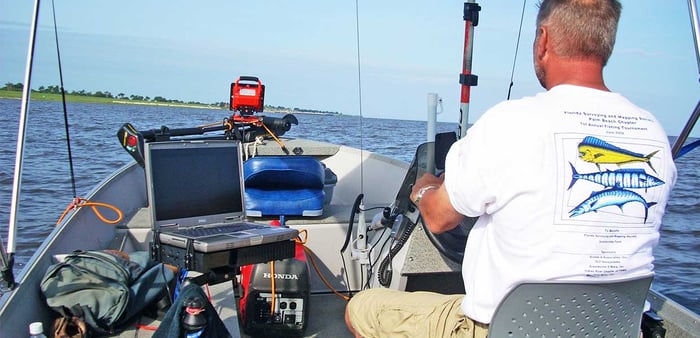
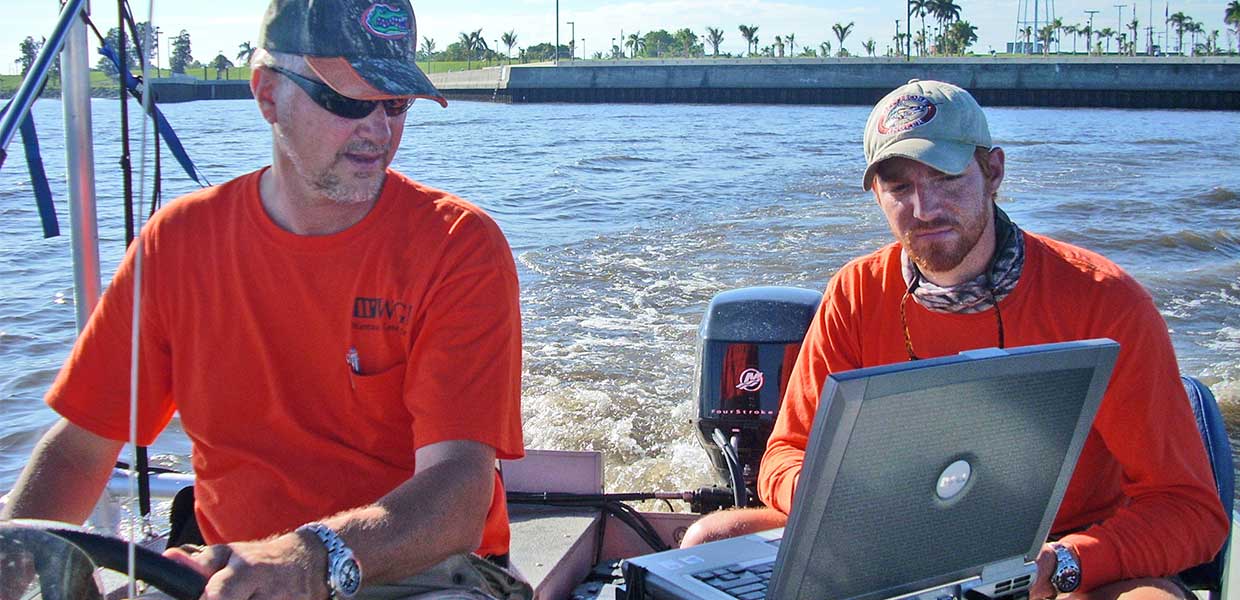
The survey provided an underwater view to determine the quantities of material available to design the islands. In addition to the area around the marina, sub-bottom profiles were conducted to determine if the soil could be used as additional dredge material.

Thirty-two miles of sub-bottom profile line was conducted during this phase of the survey. In addition, the transects in the marina area totaled about 83 miles of survey lines, creating the basis for the final contour map.

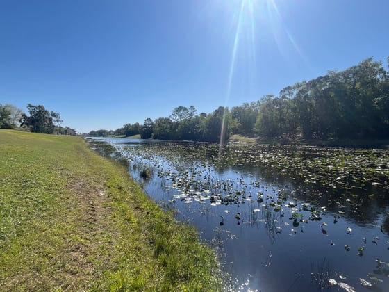
To complete the elevations above the waterline, dual frequency GPS rovers provided the fastest and most accurate method. The offshore and onshore information were combined within CAD software to create the base map for the final engineering design.

Project at a Glance

  • Lake Okeechobee Hydrographic Survey — image 1
  • Lake Okeechobee Hydrographic Survey — image 2

Contact Our Team About Your Next Project.

At WGI, we creatively transform how our world is envisioned, designed, and experienced. Our expert team of professional engineers is ready to help.

Guided by Local Expertise

Monte Lambert_500x500

Monte Lambert

Senior Business Development Manager