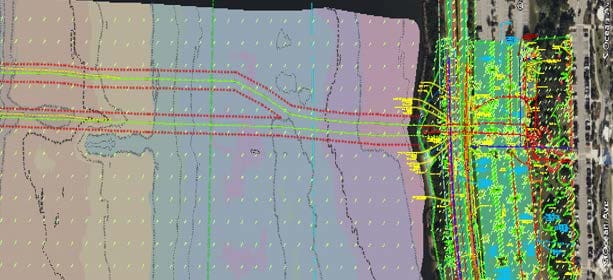
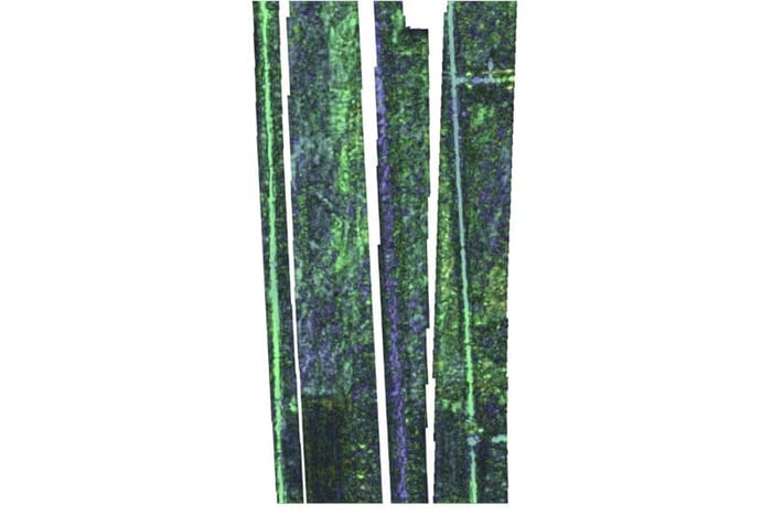
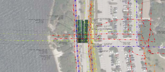
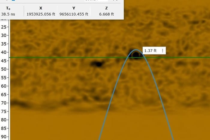
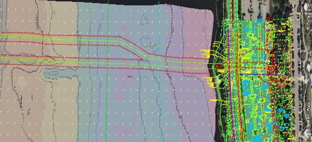
Under a continuing survey services master agreement with the City of Lake Worth Beach, WGI has completed over 32 task work orders to date. This task work order consisted of a comprehensive topographic and hydrographic survey, including SUE services across the Intracoastal Waterway, including the adjacent upland portions of Bryant Park, Lake Worth Beach Park, and Lake Worth Beach’s Master Pump Station. Specific scope tasks included real-time kinetic global navigation satellite system, terrestrial mobile lidar, and static lidar for upland features that determined property boundaries and verified the right-of-way based on ASCE 38-22 Quality Level A test holes performed to confirm utility depths. WGI crews utilized a highspeed RAPTOR 3D multi-channel GPR to obtain 3D georeferenced images of subsurface utility targets and performed electromagnetic induction for
subsurface utility designation (ASCE 38-22 Quality Level B), multi-beam sonar, and sub-bottom profiler for hydrographic survey with a magnetometer to detect ferrous iron pipelines for subaqueous utility location.
.png?width=185&height=175&name=WGI%20Icon_Green%20(1).png)


















%20copy%203.png?width=640&height=420&name=MicrosoftTeams-image%20(2)%20copy%203.png) DELRAY BEACH
DELRAY BEACH