WGI Icon_Green (1)
WGI Projects
Project Experience

Learn more about successful projects from some of our clients.

Plan Your Next Project!

Kick-start your next project with this quick step-by-step intake form.
About
WGI

WGI is a national design firm creatively transforming infrastructure and real estate through tech-driven services.

Our
Locations

You’ve seen our award-winning team, proven expertise, and industry authority. Now let’s make your next project a success.

Meet Our
Leadership Team

Our Executive Leadership Team and Practice Area Leaders bring decades of experience and client successes to your next project.

Our Practice Area Leadership

Our nationwide team of engineers, surveyors, planners, and architects offers
market-leading experience.

Firm Registrations

WGI holds nationwide registrations to perform engineering, surveying, architecture, and environmental science services.
WGI
Insights Blog

Our blog covers client interests like infrastructure, real estate, regulations, and smart, connected communities.

Whitepapers & Publications

Our whitepapers highlight our design experts' innovative insights and best practices for the AEC industry.

News &
Press Releases

Dedicated to your success, we invite you to subscribe to our newsletter for the latest news, case studies, and insights.

WGI
Media Room

Our passionate design professionals frequently share their expertise at webinars and virtual events.

Lower Withlacoochee River

Client:
SWFWMD
Market:
Water & Environment, Marine & Coastal
Location:
Yankeetown, FL

Project Details

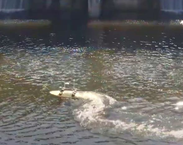
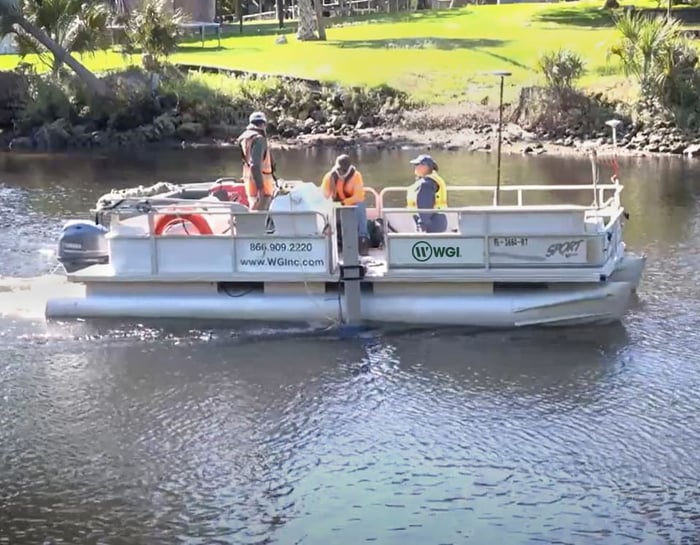
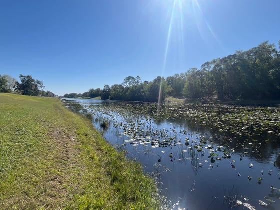
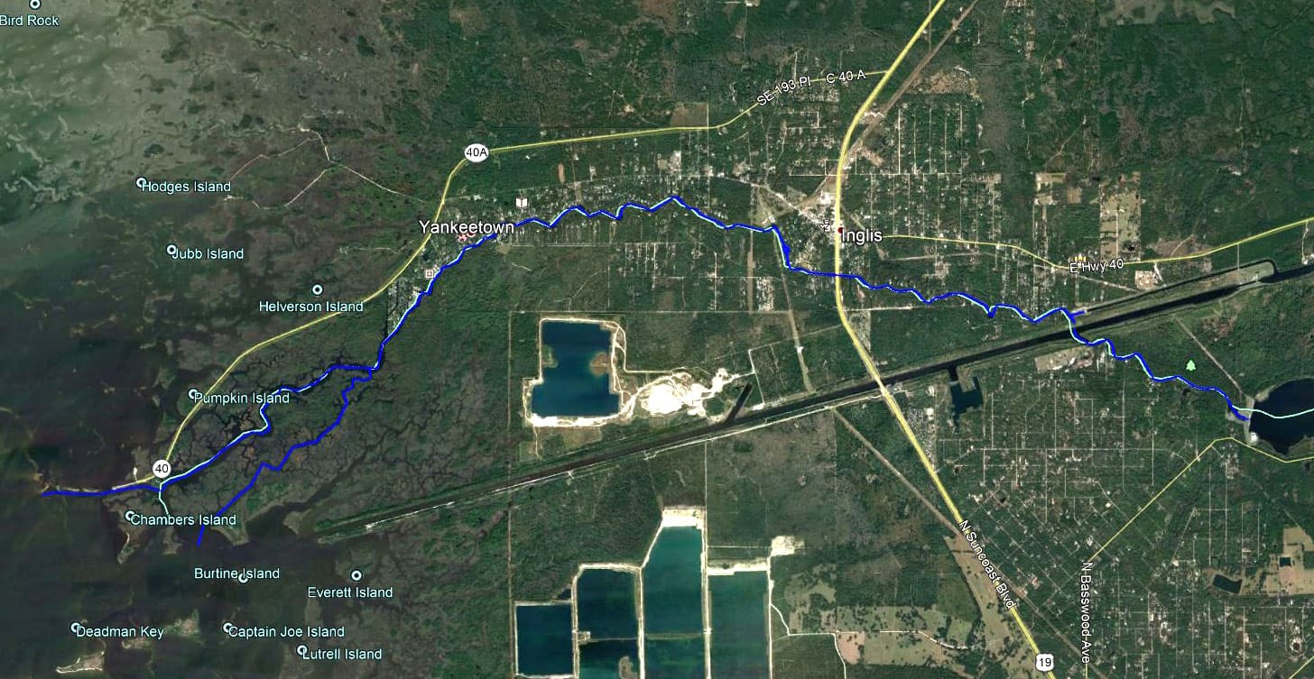
This bathymetric survey project was completed along the Lower Withlacoochee River to be incorporated into the Withlacoochee River Watershed Digital Elevation Model (DEM). The project limits were from the Inglis Bypass Spillway to the mouth of the river at the Gulf of Mexico, including several surrounding tributaries. In total, the project length was approximately 14 miles. WGI collected multi-beam data along the project to be used to improve hydrodynamic modeling of the Lower Withlacoochee River. This project also included surveying the downstream side of two structures which had WGI utilize our Z-boat hydrographic platform to safely collect the data in shallow water near the structures. WGI’s survey crew had to closely monitor tide elevations during the multi-beam collection as this affected the outer limits of the collection since the goal was to capture as much of the natural river as possible.

Project Highlights:

• The SWFWMD sent the District’s Multimedia Journalist for a ride-along with our crew on the day to capture video during the project for inclusion in their Weekly Digest Bulletin.

Project at a Glance

  • Lower Withlacoochee River — image 1
  • Lower Withlacoochee River — image 2

Contact Our Team About Your Next Project.

At WGI, we creatively transform how our world is envisioned, designed, and experienced. Our expert team of professional engineers is ready to help.