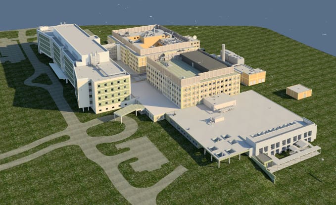
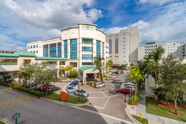
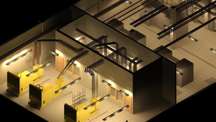
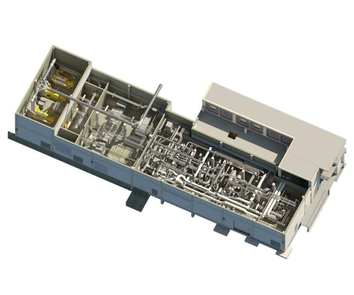
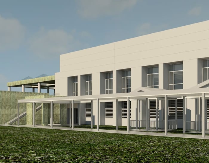
Conventional surveying techniques were employed to provide a full boundary and topographic survey of the Malcolm Randall Veteran’s Administration Medical Center. In addition, WGI collected static and terrestrial mobile LiDAR data to develop a Building Information Model (BIM) of exterior and interior facility infrastructure. The full exterior extents of the hospital and grounds were scanned using a combination of terrestrial and terrestrial mobile LiDAR (laser scanning) techniques. For the interior, the piping, electrical facilities, and ducts were scanned in rooms, hallways, and on the building roof. Subsurface utilities were also designated and located and included in the BIM.
.png?width=185&height=175&name=WGI%20Icon_Green%20(1).png)


















 PORT ST. LUCIE