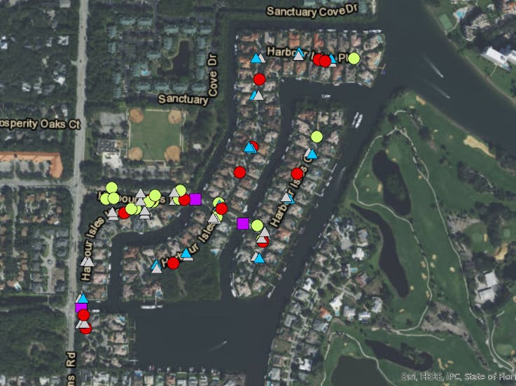
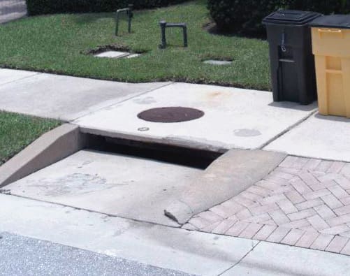
Northern Palm Beach County Improvement District (NPBCID) requested WGI’s assistance with asset mapping to verify data in their existing database. After NPBCID reviewed their inventory, they questioned the reliability of data found on current assets. They discovered multiple inconsistencies in the data collected for assets such as signs, drainage structures, poles, and bridges. NPBCID determined the inconsistencies were due to an issue with collection efforts, in that handheld collectors incorrectly logged data based on the position of the employee collecting the data versus logging data for the asset itself.
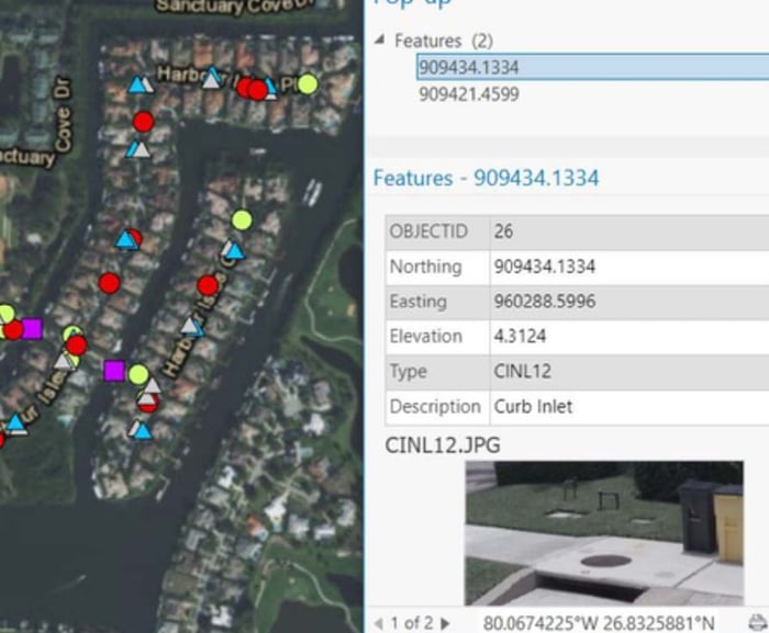
In an effort to supplement NPBCID’s efforts and assist with updating their database, WGI proposed to verify existing data utilizing mobile mapping by collecting and comparing data from handheld collectors with that of WGI’s terrestrial mobile LiDAR collection methods. Utilizing a vehicle-mounted LiDAR sensor, WGI captured data at highway speeds. Google Earth-style “street view” imagery was collected simultaneously to depict asset components such as type, identification labels/signs, defects, etc. The features, images, and information captured for each location were combined using GIS and cataloged in a geodatabase.
Data collected at highway speeds minimizes field effort associated with this approach, providing significant time savings. WGI mobile mapped over 40 miles of NPBCID maintained Rights-of-Way within eleven Units in a single day, creating a snapshot-in-time of their assets. These features were later extracted with imagery and cataloged per Unit on an as-needed basis utilizing the same mobile mapped data. This method reduced costs by avoiding multiple field mobilizations while accurately mapping each asset and correcting the previously published data. Newly collected data allowed NPBCID to update and maintain an accurate inventory of their assets, including detailed information for each feature that can be used for future maintenance, insurance, budgeting purposes. As quoted from NPBCID’s GIS consultant, Kevin Mayo, “This gives me a lot of confidence moving forward collecting features from LIDAR that we are missing in GIS.”
.png?width=185&height=175&name=WGI%20Icon_Green%20(1).png)


















%20copy%203.png?width=640&height=420&name=MicrosoftTeams-image%20(2)%20copy%203.png) DELRAY BEACH
DELRAY BEACH