Learn from award-winning professionals — explore our whitepapers, blogs, and the latest industry updates.
Join our dynamic organization of engineers, land surveyors, landscape architects, environmental scientists, and architects!
Talk to a market leader today! We’ll answer any questions you have about our professional services.
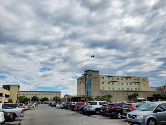
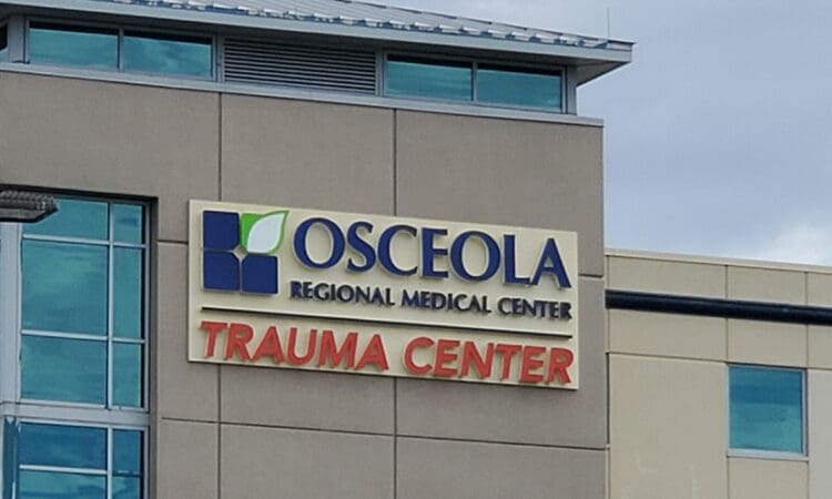
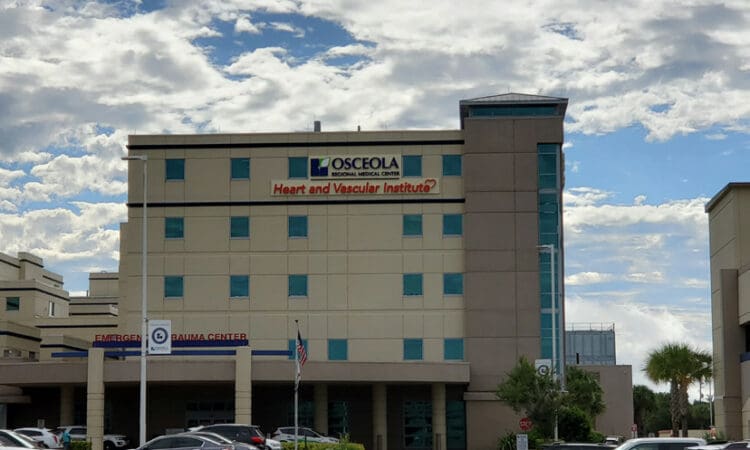
Project included topographic survey of approximately 20 acres, including over 3.5 acres of Subsurface Utility Engineering Quality Level B utility locations, all in support of a the design of a new parking structure for the hospital. The project also included boundary survey and retracement to support a planned replat of the hospital property and city of Kissimmee owned property that will be granted to the hospital in the future. All of this work was to be completed as the COVID-19 pandemic broke out in the area. Field crews needed to work close to the Emergency room entrance, where potential infected patients were entering the hospital daily. Crews from multiple office converged on the project to help finish quickly, including a Terrestrial Static LiDAR crew that was able to survey the most congested and potentially contaminated parts of the site, including the Emergency Room entrance, the ambulance parking area and entrance, and the loading dock area from remote setups.
• Terrestrial static scanning
• SUE Quality Level B
• GNSS Survey A
Sign up to receive emails to hear our latest news and achievements in our monthly newsletter.
Enter your zip code, and we’ll personalize your experience with local projects, office locations, team members, and more.
WGI supports its associates with meaningful opportunities for growth, strong benefits and perks, while we work collaboratively with clients and co-consultants to shape and improve communities.
WGI is a dynamic organization with opportunities nationwide for engineers, land surveyors, landscape architects, environmental scientists, and architects.