WGI Icon_Green (1)
WGI Projects
Project Experience

Learn more about successful projects from some of our clients.

Plan Your Next Project!

Kick-start your next project with this quick step-by-step intake form.
About
WGI

WGI is a national design firm creatively transforming infrastructure and real estate through tech-driven services.

Our
Locations

You’ve seen our award-winning team, proven expertise, and industry authority. Now let’s make your next project a success.

Meet Our
Leadership Team

Our Executive Leadership Team and Practice Area Leaders bring decades of experience and client successes to your next project.

Our Practice Area Leadership

Our nationwide team of engineers, surveyors, planners, and architects offers
market-leading experience.

Firm Registrations

WGI holds nationwide registrations to perform engineering, surveying, architecture, and environmental science services.
WGI
Insights Blog

Our blog covers client interests like infrastructure, real estate, regulations, and smart, connected communities.

Whitepapers & Publications

Our whitepapers highlight our design experts' innovative insights and best practices for the AEC industry.

News &
Press Releases

Dedicated to your success, we invite you to subscribe to our newsletter for the latest news, case studies, and insights.

WGI
Media Room

Our passionate design professionals frequently share their expertise at webinars and virtual events.

Pavement Condition Index Prioritization

Client:
City of Lake Worth Beach
Market:
Transportation, Highways, Roadways & Bridges
Location:
Lake Worth Beach, Florida

Project Details

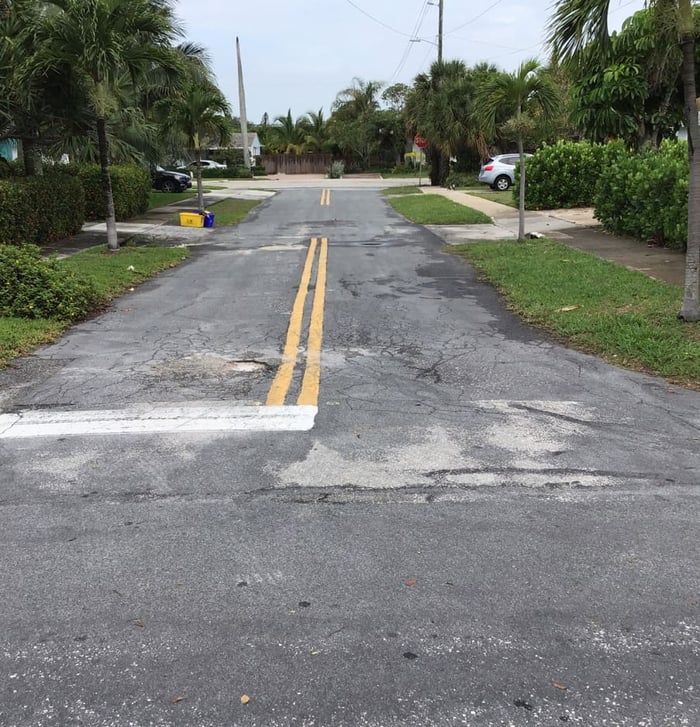
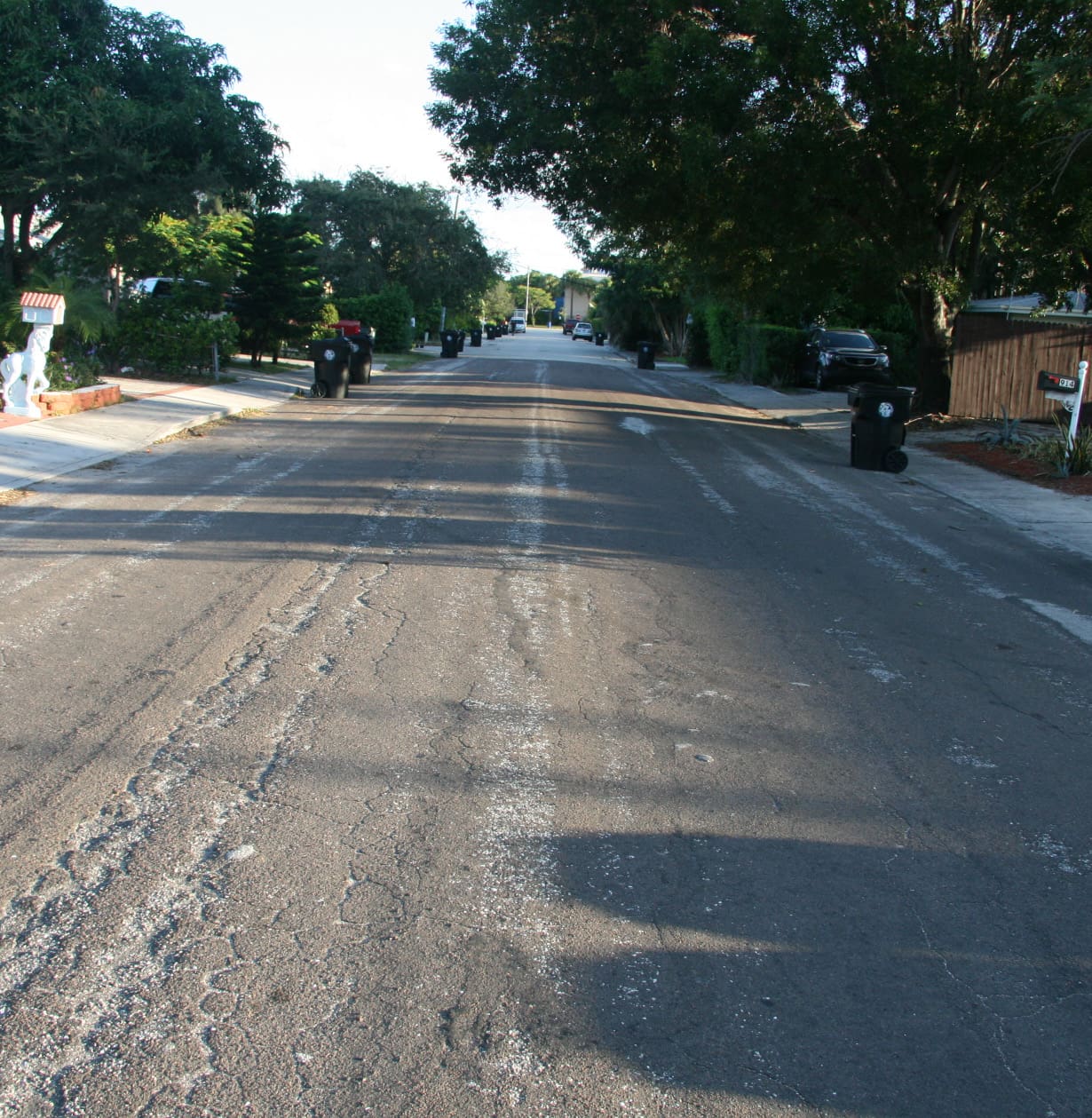
The City of Lake Worth Beach enlisted the assistance of WGI to conduct an evaluation of the current pavement condition of the city’s streets and provide a recommendation for re-prioritization of pavement repair/ replacement projects as part of the neighborhood road program. The street sections identified in the Cities Pavement Management Masterplan, last updated in August 2016, were ranked from worst condition to best condition to provide a prioritized list for improvements. The condition of the sidewalks were also visually assessed for the purposes of prioritizing for future improvement.

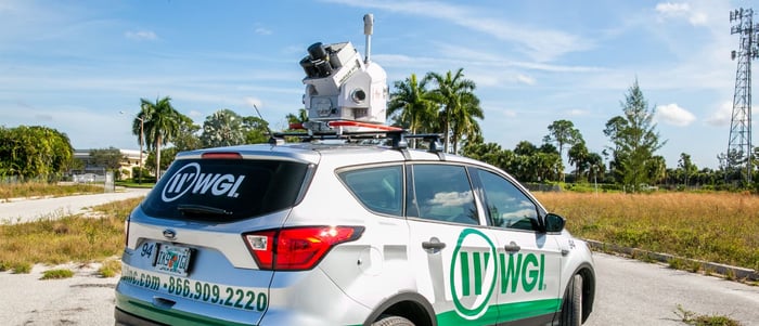
In order to assess the condition of over 100-miles of City roadway, WGI utilized mobile lidar and processed the data using the specialized software Topo DOT to generate a pavement condition index. WGI then sent a team into the field to verify the mobile lidar and perform a more in-depth review of the problem area. All data is stored in a GIS data base including pavement and sidewalk rating, cost value of repair, photos of street, and other pertinent data.

Project at a Glance

  • Pavement Condition Index Prioritization — image 1
  • Pavement Condition Index Prioritization — image 2
  • Pavement Condition Index Prioritization — image 3

Contact Our Team About Your Next Project.

At WGI, we creatively transform how our world is envisioned, designed, and experienced. Our expert team of professional engineers is ready to help.

Guided by Local Expertise