Learn from award-winning professionals — explore our whitepapers, blogs, and the latest industry updates.
Join our dynamic organization of engineers, land surveyors, landscape architects, environmental scientists, and architects!
Talk to a market leader today! We’ll answer any questions you have about our professional services.
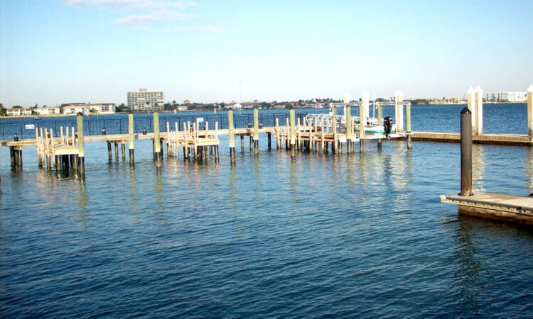
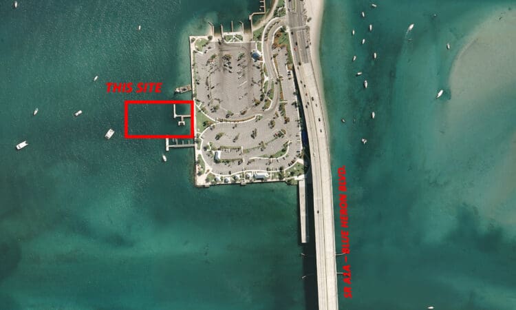
WGI was responsible for the preparation of a topographic and hydrographic survey for the design of additional boat docks and piers at Phil Foster Park. Following office research, calculations, and verifications, field crews located existing docks, seawalls, pilings and other necessary data as directed by the client. The hydrographic survey was performed to map the underwater surface around the existing dock area as well as the proposed dock expansion area. Underwater elevations were obtained on a 10’ grid along with the elevations of all above water improvements. Final deliverables were signed and sealed surveys and electronic CADD files.
Sign up to receive emails to hear our latest news and achievements in our monthly newsletter.
Enter your zip code, and we’ll personalize your experience with local projects, office locations, team members, and more.
WGI supports its associates with meaningful opportunities for growth, strong benefits and perks, while we work collaboratively with clients and co-consultants to shape and improve communities.
WGI is a dynamic organization with opportunities nationwide for engineers, land surveyors, landscape architects, environmental scientists, and architects.