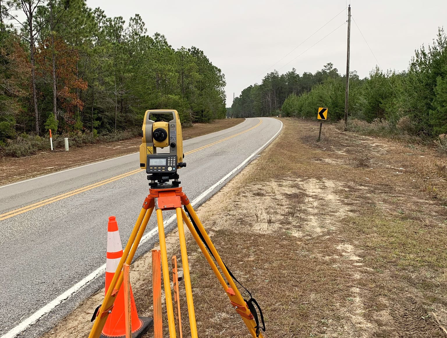
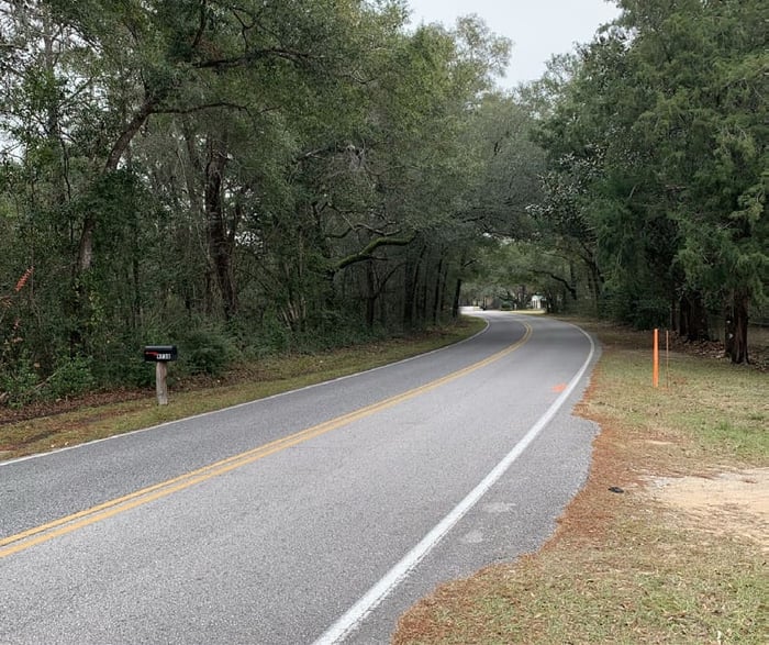
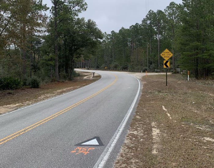
WGI performed a topographic survey of Rock Hill Road for the purpose of resurfacing, restoration, and rehabilitation of the 12-mile corridor of a rural two-lane asphalt road in Walton County. The rural road not only connects the rural agricultural community to two main state roads to the east and west, but also is a busy route for semi-trucks moving materials from multiple mining areas along the corridor. Due to the length of the roadway and the safety concern, WGI utilized Terrestrial Mobile LiDAR (TML) to collect a high-resolution point cloud of the open and unobscured areas to create a detailed 3D Digital Terrain Model (DTM) of the roadway corridor. WGI also assisted the Walton County surveyor with creating an accurate control network along the corridor that can be utilized in the area for years to come.
Project Highlights:
• Efficiency and safety proved challenging on this project. In rural areas, such as this one, it is inevitable that some data collection will take place in and along the sides of the roadway. In addition to standard-sized vehicular travel, this corridor is heavily traveled by semi-trucks, often carrying “full loads” and, while a semitruck’s braking system is equipped to handle the additional weight, it takes longer for the trucks to stop (anywhere between 200-500 yards). WGI realized the need to collect information in the most efficient way possible, while ensuring the safety of our crews and the public during data collection. WGI’s most efficient and safest means of data collection in cases like this involves the use of Terrestrial Mobile LiDAR (TML) to create a point cloud of data. Once the data is obtained, it can be used for future reference should the client need additional services. Referencing the point cloud eliminates the need for an additional visit to the project site, keeping crews safe and budgets on track. On this project, WGI utilized point cloud data when the client proposed an additional turn lane at the intersection of Rock Hill Road and US 331. Instead of mobilizing a crew, WGI was able to develop information from the point cloud and provide the client with detailed data as requested.
.png?width=185&height=175&name=WGI%20Icon_Green%20(1).png)


















 PORT ST. LUCIE