Learn from award-winning professionals — explore our whitepapers, blogs, and the latest industry updates.
Join our dynamic organization of engineers, land surveyors, landscape architects, environmental scientists, and architects!
Talk to a market leader today! We’ll answer any questions you have about our professional services.
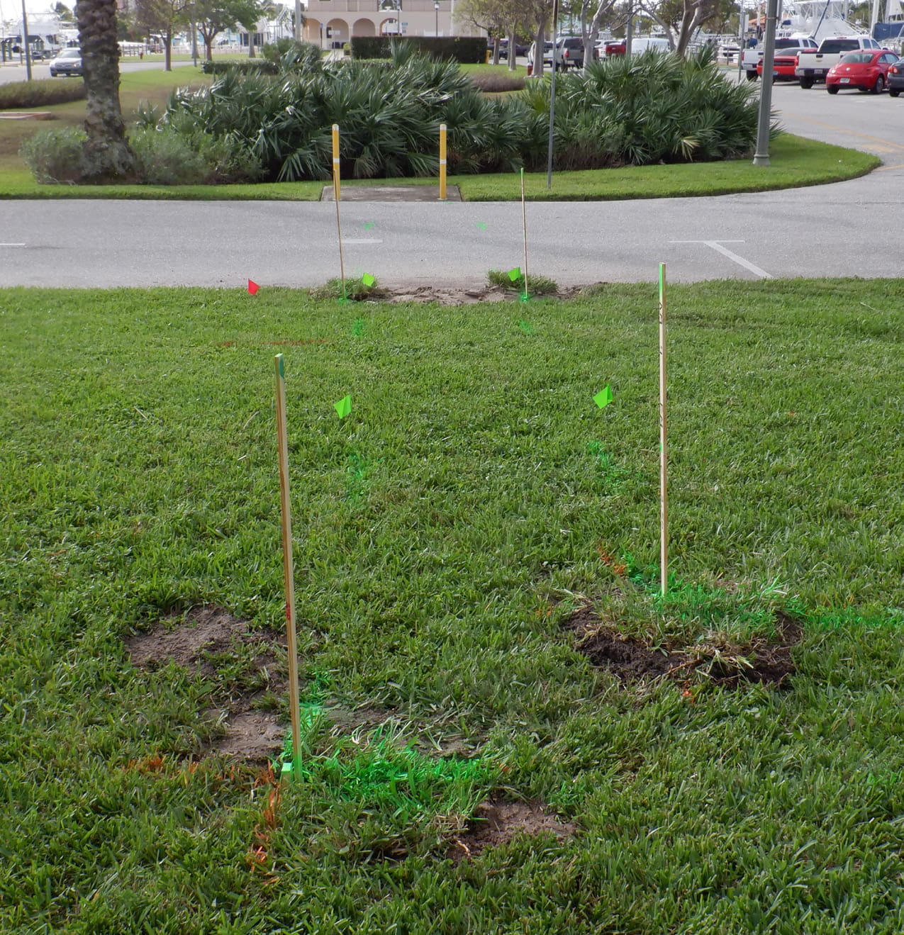
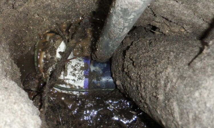
WGI provided subsurface utility engineering and supporting survey services for this culvert pipe/outfall replacement project in Lake Park, Florida. WGI identified existing underground utilities potentially impacted by the proposed culvert/outfall design. We completed designating (ASCE 38-02 Quality Level B) to map the horizontal position of utilities and supplemented with strategic test holes (ASCE 38-02 Quality Level A) throughout the project limits to confirm the size, depth, and in some instances, conditions of the facilities. The test hole data was collected by conventional survey methods (GPS, total station) and incorporated into CADD drawings, along with test hole reports provided to the client.
As an innovative approach, field-marked utilities were collected with mobile LiDAR, while capturing imagery. This allowed WGI staff to safely analyze the data, compare it to historical utility information, and extract it from the point cloud to produce a CADD deliverable.
Sign up to receive emails to hear our latest news and achievements in our monthly newsletter.
Enter your zip code, and we’ll personalize your experience with local projects, office locations, team members, and more.
WGI supports its associates with meaningful opportunities for growth, strong benefits and perks, while we work collaboratively with clients and co-consultants to shape and improve communities.
WGI is a dynamic organization with opportunities nationwide for engineers, land surveyors, landscape architects, environmental scientists, and architects.