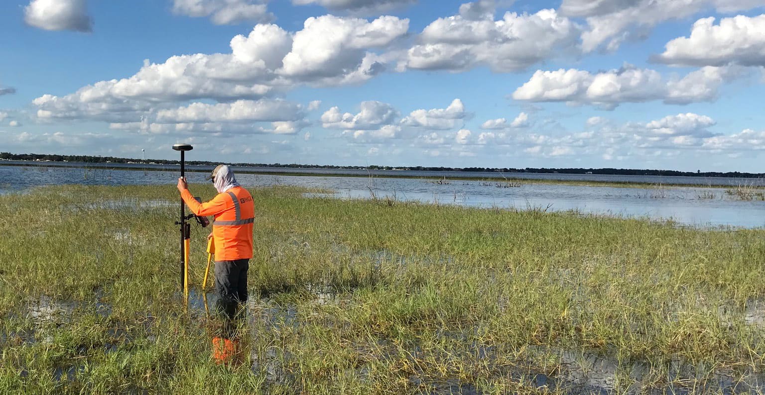
The project consisted of a Design Survey of 4 miles of US 27 through Sebring, Florida. This section of highway is a heavily traveled multi-lane highway, which creates safety concerns for collecting pavement data along the road. Because of these safety concerns, the project was surveyed in the field using a combination of Terrestrial Mobile LiDAR, GPS, and traditional ground survey using the Department’s proprietary data collection software. The project alignment and right-of-way were established from recovered control and compared to record right-of-way maps, plats, and right-of-way deeds found in county records.
Project Highlights:
• Project consisted of terrestrial mobile LiDAR combined with ground survey, merged together to create multiple existing ground and bridge models.
.png?width=185&height=175&name=WGI%20Icon_Green%20(1).png)


















%20copy%203.png?width=640&height=420&name=MicrosoftTeams-image%20(2)%20copy%203.png) DELRAY BEACH
DELRAY BEACH