Learn from award-winning professionals — explore our whitepapers, blogs, and the latest industry updates.
Join our dynamic organization of engineers, land surveyors, landscape architects, environmental scientists, and architects!
Talk to a market leader today! We’ll answer any questions you have about our professional services.
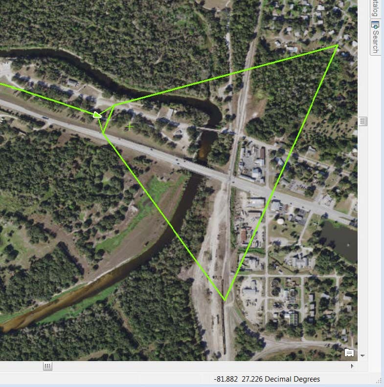
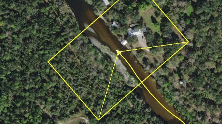
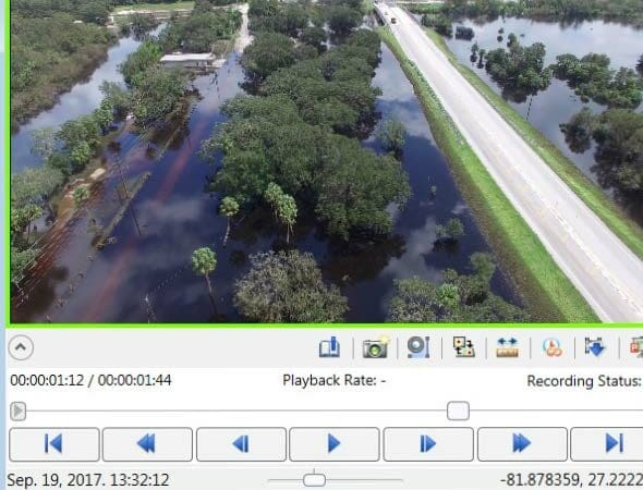
WGI’s Unmanned Aircraft System (UAS) was contracted to capture imagery and video of high water events on various rivers within the jurisdictional boundaries of the Southwest Florida Water Management District (SWFWMD). These high water events were a result of rain and storm surge from Hurricane Irma. In addition to the acquisition of imagery and video, the WGI UAS Team was tasked with developing a methodology to convert the video captured from various UAS into a form that would meet Motion Industry Standards Board (MISB) compliance. MISB video is location and time-aware, allowing the end-user to extract information directly from the video to a GIS environment. While a commercial solution was available, it was rudimentary and limited in its capabilities. WGI’s UAS Team took these essential tools and scripted a new processing workflow to provide the SWFWMD with a more robust working solution.
Sign up to receive emails to hear our latest news and achievements in our monthly newsletter.
Enter your zip code, and we’ll personalize your experience with local projects, office locations, team members, and more.
WGI supports its associates with meaningful opportunities for growth, strong benefits and perks, while we work collaboratively with clients and co-consultants to shape and improve communities.
WGI is a dynamic organization with opportunities nationwide for engineers, land surveyors, landscape architects, environmental scientists, and architects.