Learn from award-winning professionals — explore our whitepapers, blogs, and the latest industry updates.
Join our dynamic organization of engineers, land surveyors, landscape architects, environmental scientists, and architects!
Talk to a market leader today! We’ll answer any questions you have about our professional services.
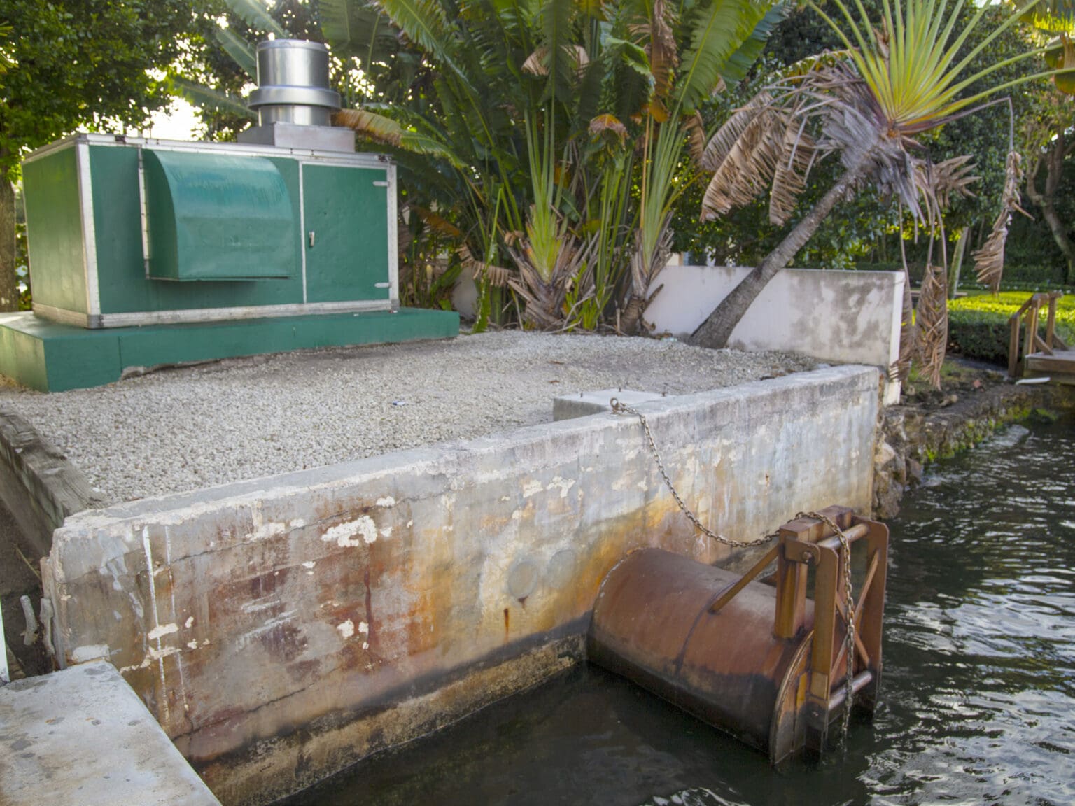
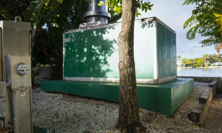
In 2019, a Stormwater Master Plan was developed for the City of Delray Beach (City) to evaluate the potential of increasing the pumping capacity of the Thomas Street Pump Station for both current and 30-year Sea Level Rise tidal conditions. The existing stormwater facility provides protection to a 50-acre drainage basin including Thomas Street, Vista Del Mar Drive, and part of Andrews Avenue and Lowery Street. Located at the end of Thomas Street, the facility pumps water back into the Intracoastal Waterway through an outflow pipe, roughly one foot wide. When water levels are elevated during high tide and heavy rain, the pipe opens and closes for three-minute intervals to alleviate flooding. However, the existing facility is undersized and past its life expectancy.
The City Commission reviewed data for areas most vulnerable to sea level and groundwater rise and determined the Thomas Street Pump Station was highest on the list of capital improvement priorities. The City selected Mock Roos to provide preliminary engineering, designing, permitting, bidding, and post-design services of the stormwater pump station replacement facility. As part of Mock Roos’ team, WGI, Inc. (WGI) provided full survey design services, including right-of-way mapping, topographic surveying, hydrographic surveying, and subsurface utility engineering to assist with the design plans.
WGI utilized mobile LiDAR, a complete mobile mapping, and survey solution, to collect accurate and detailed data through sensors. This solution promotes increased safety by avoiding the need for the field staff to work within the travel lanes and avoid trespassing on private property due to the proximity of this residential neighborhood. The City also requested WGI to obtain finished floor elevations (FFE) for the entire Thomas Street Drainage Basin. WGI was able to measure 90% of all FFE from the mobile LiDAR collection. The vertical accuracy was maintained for this data by digitally leveling throughout the basin. Due to the quick collection of field data, WGI provided a merged file of all services ahead of schedule.
Sign up to receive emails to hear our latest news and achievements in our monthly newsletter.
Enter your zip code, and we’ll personalize your experience with local projects, office locations, team members, and more.
WGI supports its associates with meaningful opportunities for growth, strong benefits and perks, while we work collaboratively with clients and co-consultants to shape and improve communities.
WGI is a dynamic organization with opportunities nationwide for engineers, land surveyors, landscape architects, environmental scientists, and architects.