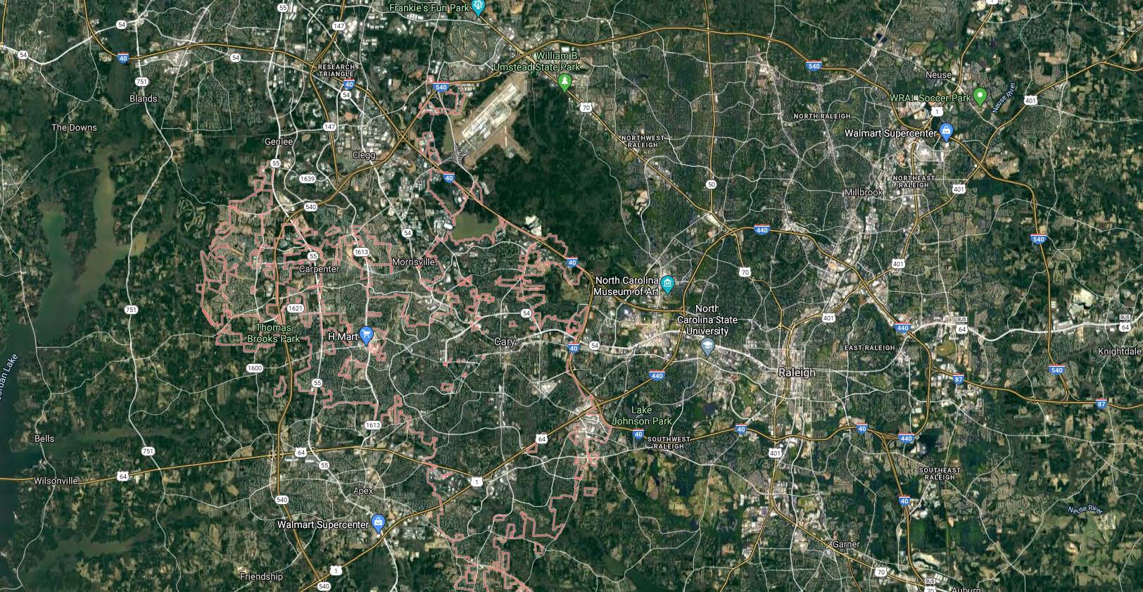
The Town of Cary has engaged Spatial Focus to assist in the conversion of wastewater, potable water, and reclaimed water data sets from a legacy GIS software to the ESRI suite of software products. The primary goal of this project is to review and update utility datasets, schemas, and associated geometric networks. The Town of Cary currently maintains approximately 845 miles of wastewater gravity collection pipe, 85 miles of wastewater force mains, 1,000 miles of water distribution pipe, and 55 mile of reclaimed water distribution pipe. There are multiple key features (manholes, pipe segments, valves, fire hydrants, and meters, lift stations) that were created in the legacy GIS software and have been imported into ArcGIS and utility datasets were created. Geometric networks were built based on the information within the utility datasets. Spatial Focus is assisting in the following tasks:
• Review, evaluation, and improvement of the existing wastewater, water, and reclaimed water schemas to create improved schemas for each utility feature class including the creation of metadata.
• Review, evaluation, and improvement of the existing wastewater, water, and reclaimed water geometric networks in order locate and correct errors, inconsistencies, disconnects, and improper connections as well as assign flow direction for wastewater.
• Review of the feature classes within the wastewater, water, and reclaimed water datasets to assign realistic install dates as well as update the ‘Interceptor’ field within the ‘Sewer Gravity Main’ feature class.
• Populating the ‘Lateral Lines’ feature class with service lines for wastewater, water, and reclaimed water. This task also involves ensuring that fire hydrant laterals are in the correct feature class and properly attributed as hydrant laterals.
• Review of the ‘Water Valves’ feature class to correct any system valves improperly attributed as fire hydrant valves, and vice versa.
• Review, evaluation, and improvement of the miscellaneous feature classes for meters and utility markers including the creation of metadata.
• Technical memorandum that summarizes the efforts and results of the above tasks.
.png?width=185&height=175&name=WGI%20Icon_Green%20(1).png)


















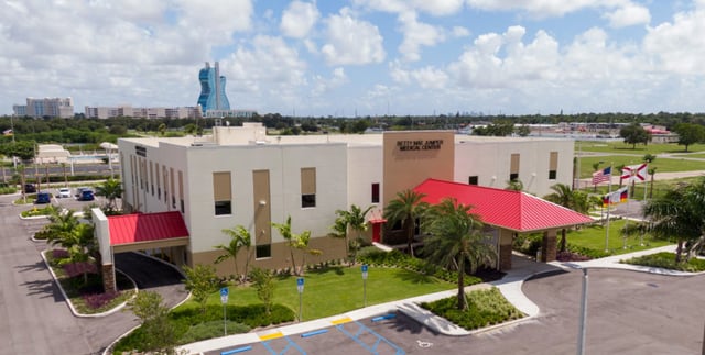 HOLLYWOOD RESERVATION
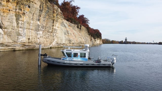 ILLINOIS RIVER
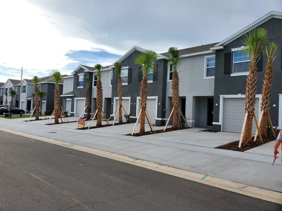 HILLSBOROUGH