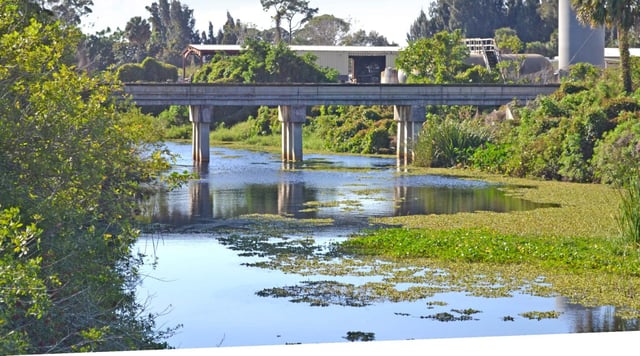
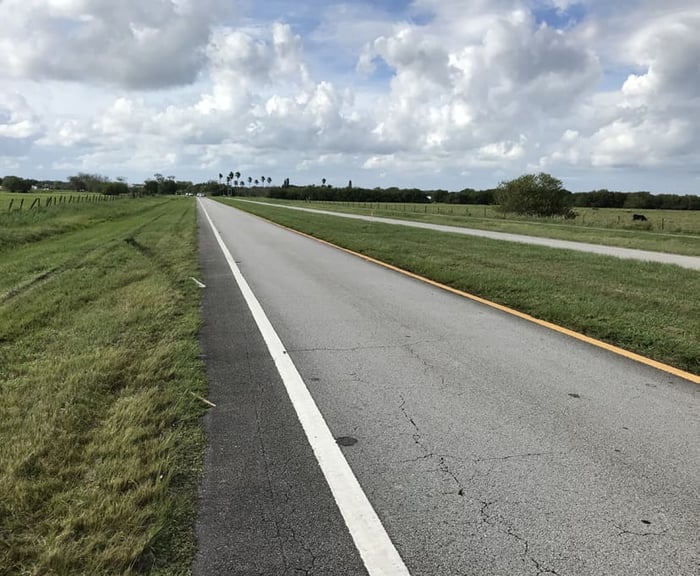
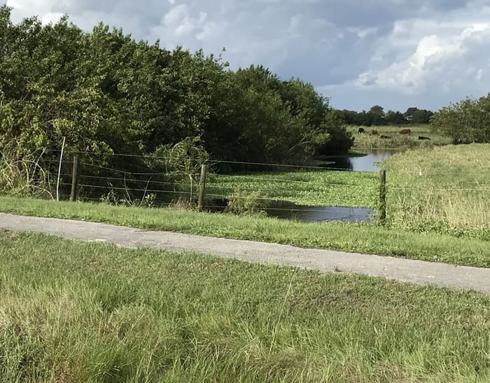
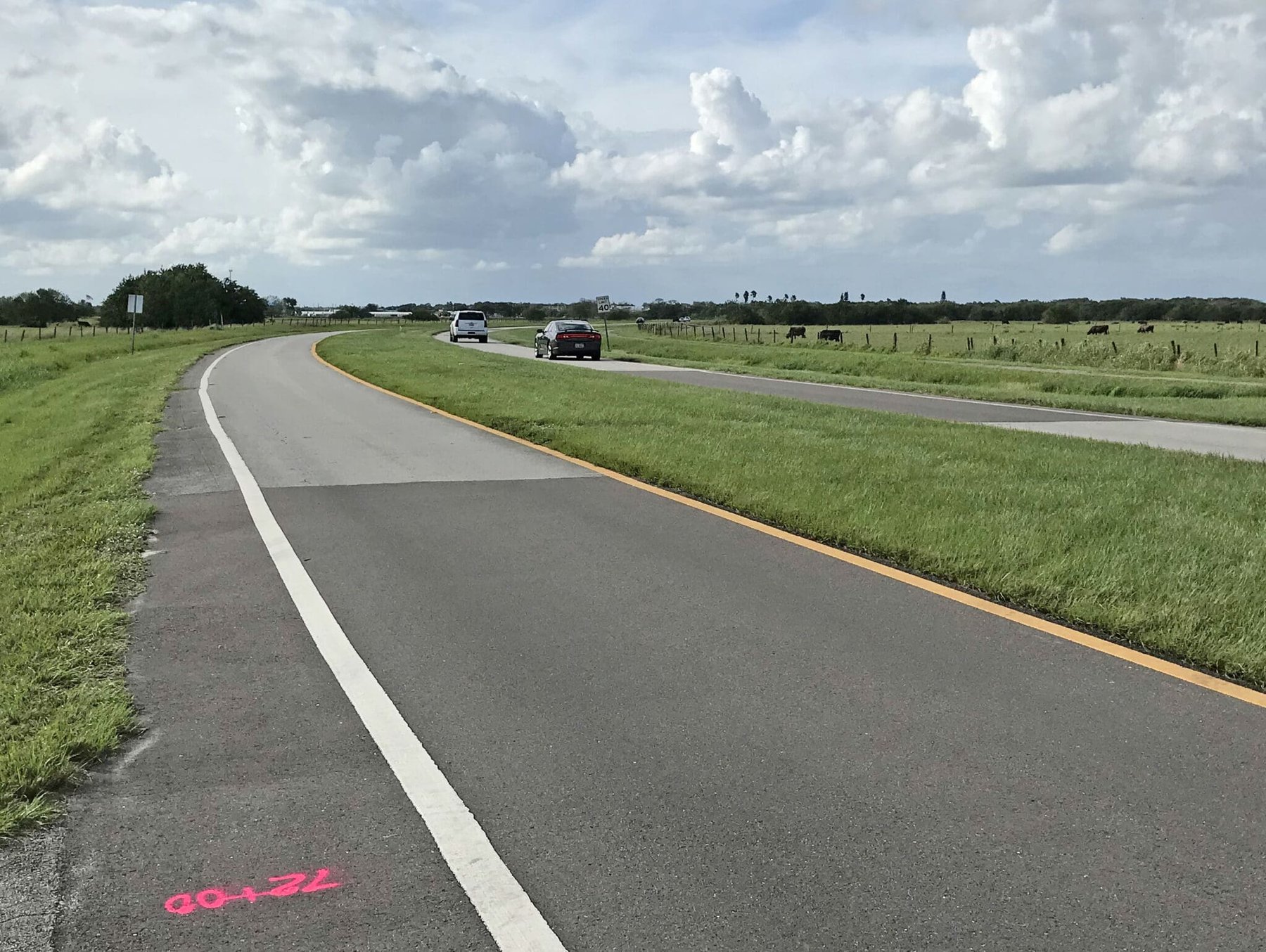
This project is a one mile off-system project by FDOT for the City of Okeechobee. The purpose of this project is to provide design and control survey to support the design and construction of a new sidewalk/trail within the existing right of way. The WGI field crew used a combination of GNSS and traditional survey methods to locate section and right-of-way monumentation, establish project benchmarks, and collect topographic data for the project.
Project Highlights:
• Due to the location of the proposed sidewalk/trail being close to the existing right-of-way line, accurate determination of right-of-way limits was critical for this project, but previous right-of-way maps did not exist for the road. WGI survey staff researched the County records to find all of the documentation for acquisition of the right-of-way by the City, then used the descriptions in the documents to search for field monumentation. Once monuments were recovered, the described properties were pieced together and used to calculate an overall project alignment that was then staked and referenced in the field for use by designers and contractors.
.png?width=185&height=175&name=WGI%20Icon_Green%20(1).png)


















 PORT ST. LUCIE
%20copy%203.png?width=640&height=420&name=MicrosoftTeams-image%20(2)%20copy%203.png)