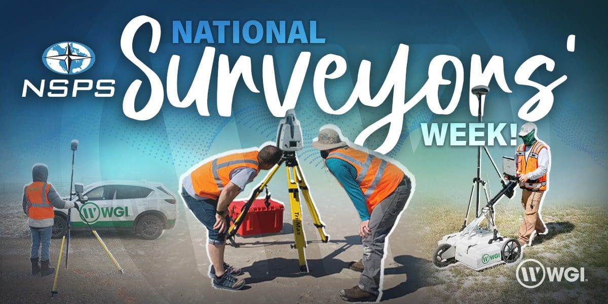
Each year since 1984, the NSPS – The National Society of Professional Surveyors dedicates a week (National Surveyors Week (NSW)) to recognize the often overlooked yet extremely crucial work that geospatial professionals conduct everyday to improve our communities and infrastructure and provide clients with meaningful and highly-accurate data to operate far more efficiently.
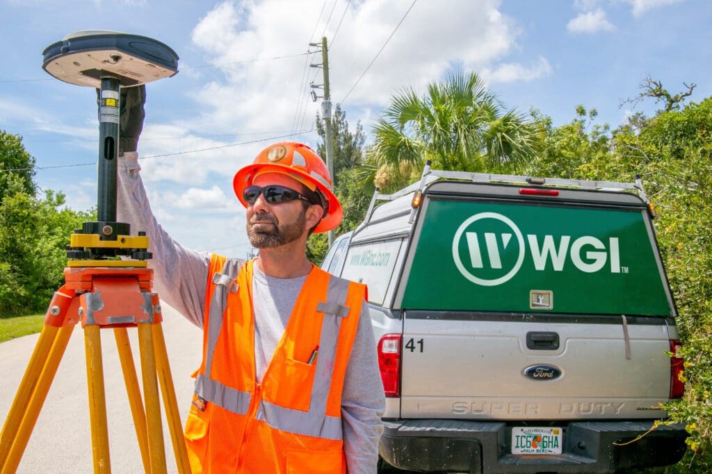
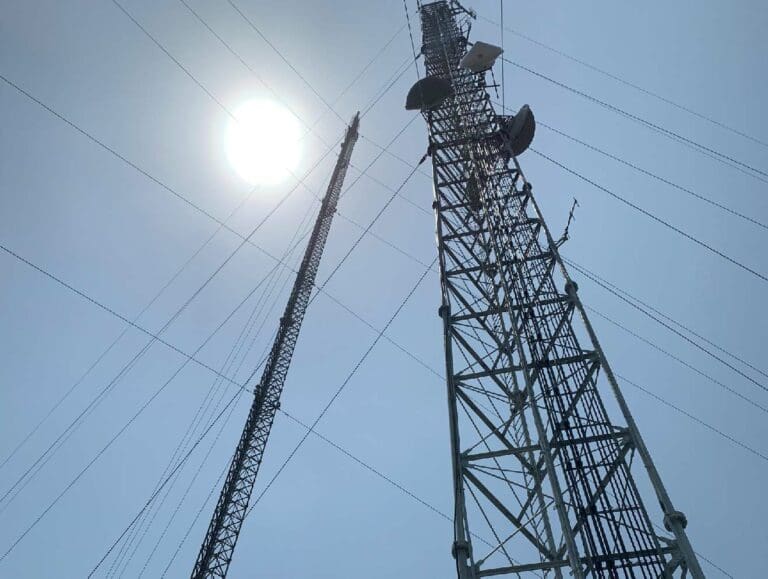
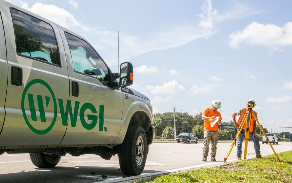
Surveyors are often the first on-site at any new project, mapping the boundaries of roadways, bridges, structures, underwater valleys and more.
Whether by sea, land, or air… if there’s essential data to be collected – WGI’s Geospatial Experts are there.
Our surveying professionals have been providing invaluable information to clients for decades using the latest cutting-edge technologies & innovative data collection methods.
Always the first on-site before ground has even been broken on a project site, this is what makes surveyors the stewards for the starting foundation of any successful project.
A Wealth of Expertise
In an effort to keep up with the theme of NSW, to generate and maximize awareness and recognition for the surveying and geospatial professions through outreach and education, WGI regularly is involved with the future generation of land surveyors and aspiring engineers.
Our experts are at the forefront of the geospatial community and often attend annual events such as the Northeast Florida Construction Career Days, and regularly sponsors educational exhibitions like the Unmanned Aerial Systems (UAS) Demonstration recently held at the University of Florida.
Mapping a Win
WGI’s Geospatial and Land Surveying team bare the responsibility of serving as the backbone for any successful project. This year, our team participated in Geo Week 2023, an industry event that responds to the changing needs of geospatial professionals due to the newest technologies disrupting the engineering realm. WGI ended up taking home the 2022 MAPPS Membership Choice Award during the event.
History of the Profession
The surveying profession has been around since the beginning of recorded history with some of the earliest examples being recorded in ancient Egypt during the construction of the Great Pyramids of Giza.
In the 19th century, surveyors aided the United States in our expansion west, where the promise of land ownership encouraged pioneers to settle and stake their claims. Most people in that era had a primary occupation but were also inevitably capable surveyors due to the intense demand for planning services that preceded the westward expansion.
Many of our country’s early leaders were also surveyors – including George Washington, Abraham Lincoln, and Thomas Jefferson.
Cutting-Edge Technologies & Innovation
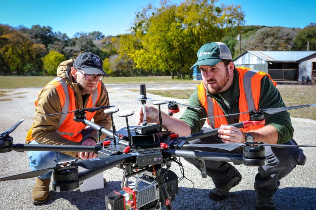
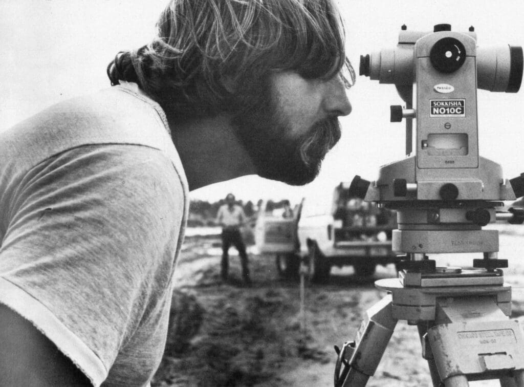
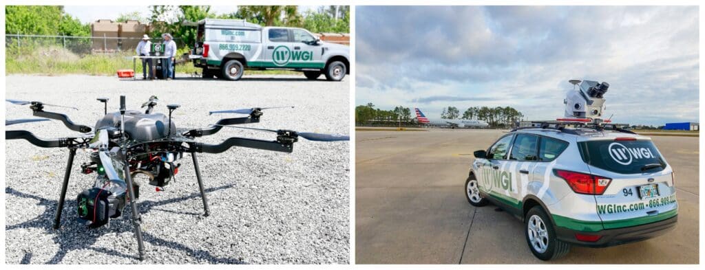
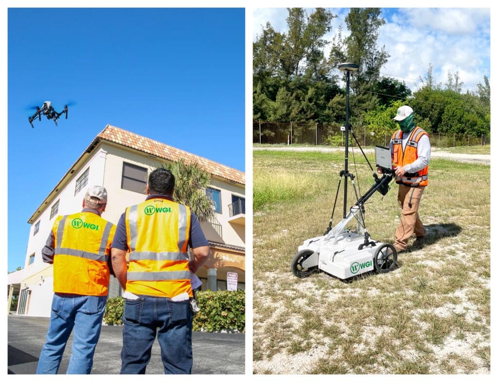
For over four decades, WGI has been a leader in implementing the latest technology in the land surveying arena. In addition to the traditional tripod with total stations or theodolites, our crews are regularly deploying cutting-edge tech like lidar-equipped aerial drones or mobile lidar fixed to a vehicle (or even a person) to collect more accurate and robust data for our clients
Thank You!
WGI would like to recognize all of our surveying and geospatial professionals and highlight their amazing contributions to WGI and to our communities. We truly appreciate all that you do!
