WGI Icon_Green (1)
WGI Projects
Project Experience

Learn more about successful projects from some of our clients.

Plan Your Next Project!

Kick-start your next project with this quick step-by-step intake form.
About
WGI

WGI is a national design firm creatively transforming infrastructure and real estate through tech-driven services.

Our
Locations

You’ve seen our award-winning team, proven expertise, and industry authority. Now let’s make your next project a success.

Meet Our
Leadership Team

Our Executive Leadership Team and Practice Area Leaders bring decades of experience and client successes to your next project.

Our Practice Area Leadership

Our nationwide team of engineers, surveyors, planners, and architects offers
market-leading experience.

Firm Registrations

WGI holds nationwide registrations to perform engineering, surveying, architecture, and environmental science services.
WGI
Insights Blog

Our blog covers client interests like infrastructure, real estate, regulations, and smart, connected communities.

Whitepapers & Publications

Our whitepapers highlight our design experts' innovative insights and best practices for the AEC industry.

News &
Press Releases

Dedicated to your success, we invite you to subscribe to our newsletter for the latest news, case studies, and insights.

WGI
Media Room

Our passionate design professionals frequently share their expertise at webinars and virtual events.

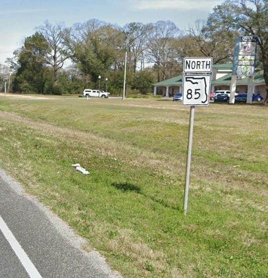
445733-1 S.R. 85 From Commerce Drive to CR 85A Bill Lundy Road

Client:
FDOT D3
Market:
Transportation
Location:
Crestview, FL

Project Details

This RRR project consists of 4.9 miles of a four-lane urban divided section and a two-lane rural section of the designated hurricane evacuation route of SR 85 in Okaloosa County, Florida. The main corridor is utilized to access the beaches at Fort Walton Beach and Eglin Air Force Base from out of state. Terrestrial Mobile LiDAR was used for safety reasons and to create an accurate DTM of the pavement and additional DTM areas for turn lanes. Right-of-way monuments and previous alignment monuments were located to be able to adjust a historic metric alignment and a recently completed alignment to found monuments. Right-of-way lines were depicted based on the adjusted alignment. A drainage survey was also performed to assist with the design of turn lanes and the redesign of structures to fix any potential flooding areas. Coordination was done with the utilities agency owners to determine locations and obtain survey information on their underground utilities. 

Project Highlights 

  • This project is the sixth project that has been awarded under the District-wide continuing services contract for Surveying and Mapping services between WGI, inc. and the Florida Department of Transportation.

Contact Our Team About Your Next Project.

At WGI, we creatively transform how our world is envisioned, designed, and experienced. Our expert team of professional engineers is ready to help.