Learn from award-winning professionals — explore our whitepapers, blogs, and the latest industry updates.
Join our dynamic organization of engineers, land surveyors, landscape architects, environmental scientists, and architects!
Talk to a market leader today! We’ll answer any questions you have about our professional services.
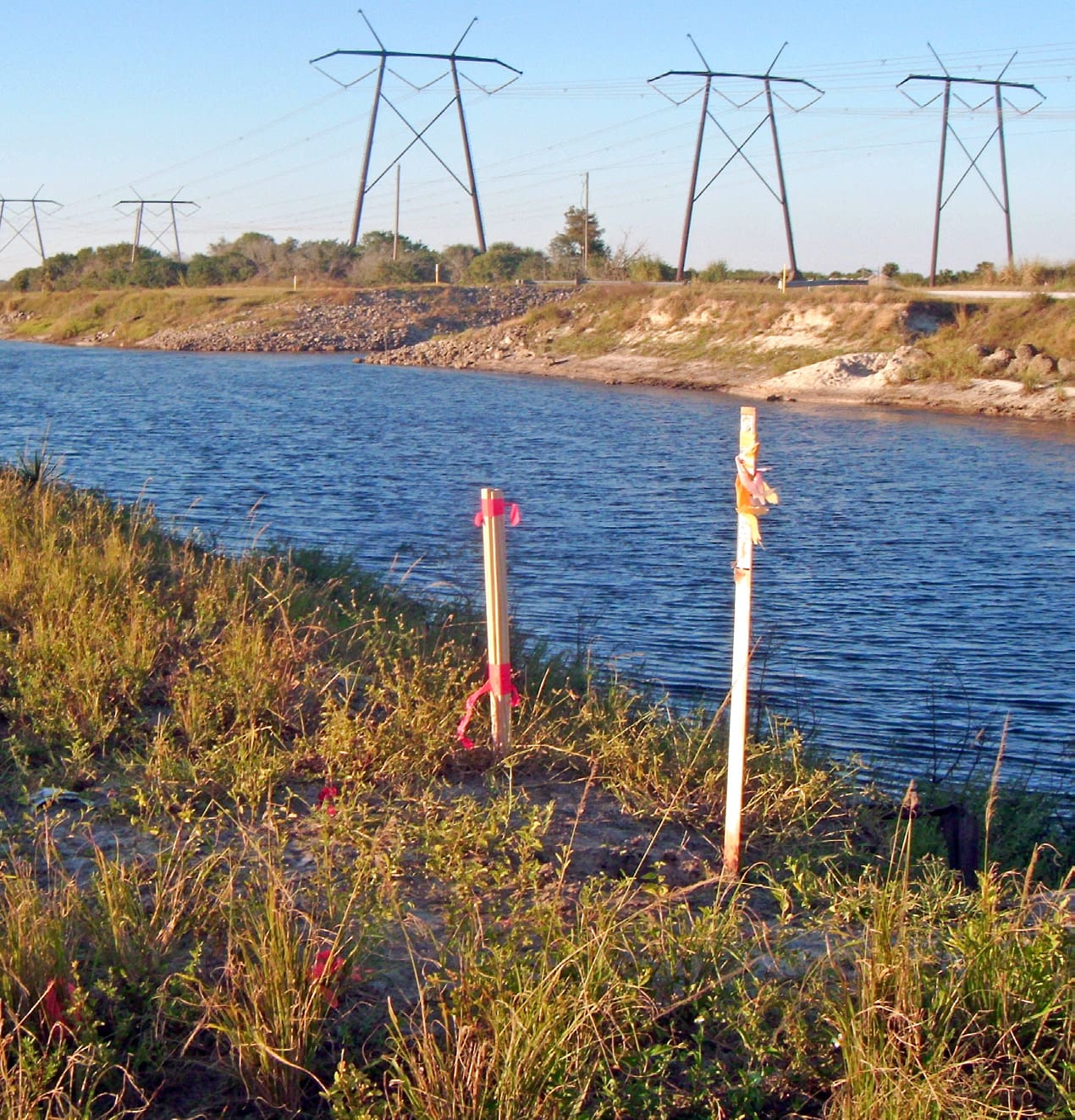
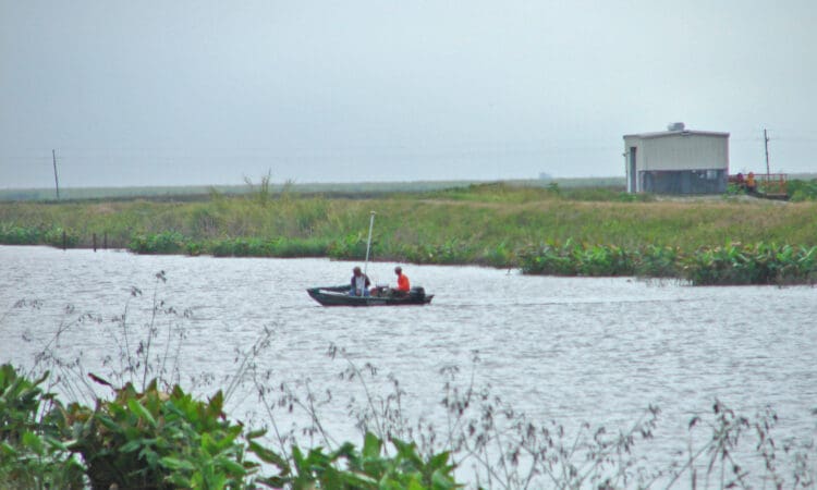
As part of the SFWMD Everglades Restoration Strategies Regional Water Quality Plan, an L–8 Divide Structure will be designed and constructed, serving to limit many potential impacts to surrounding lands resulting from the operation of the new L-8 Flow Equalization Basin (FEB). WGI’s survey data will be used to appropriately size the structure to meet its intended function; and to allow current operational criteria for flows within the L-8 Canal. WGI provided topographic and hydrographic surveys of the L-8 Canal. Using RTK GPS, cross-sections were taken at 1,000 intervals along Levee L-8 to the South tieback levee for approximately 22 miles. Additionally, the size, shape, and invert elevations on all inflow points were located. Single-beam hydrographic surveys were performed to generate a centerline profile for the length of the project and build a Digital Terrain Model (DTM) of the canal bottom at specific locations.Â
Sign up to receive emails to hear our latest news and achievements in our monthly newsletter.
Enter your zip code, and we’ll personalize your experience with local projects, office locations, team members, and more.
WGI supports its associates with meaningful opportunities for growth, strong benefits and perks, while we work collaboratively with clients and co-consultants to shape and improve communities.
WGI is a dynamic organization with opportunities nationwide for engineers, land surveyors, landscape architects, environmental scientists, and architects.