Geospatial Team Expands Operations and Adds Leaders In Several Locations
WGI is proud to welcome three Geospatial leaders as we expand our operations across the country.
Learn from award-winning professionals — explore our whitepapers, blogs, and the latest industry updates.
Join our dynamic organization of engineers, land surveyors, landscape architects, environmental scientists, and architects!
Talk to a market leader today! We’ll answer any questions you have about our professional services.
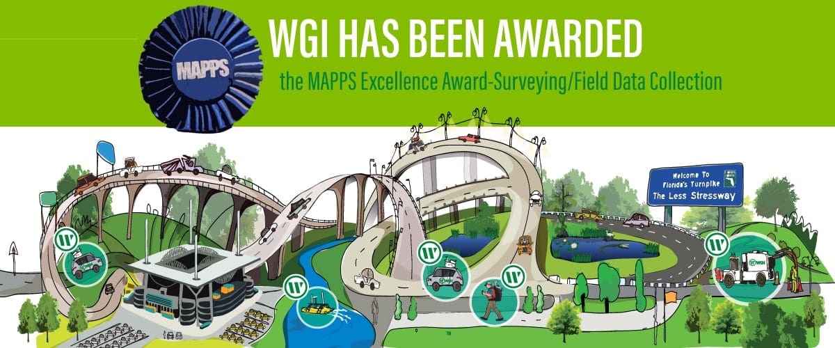
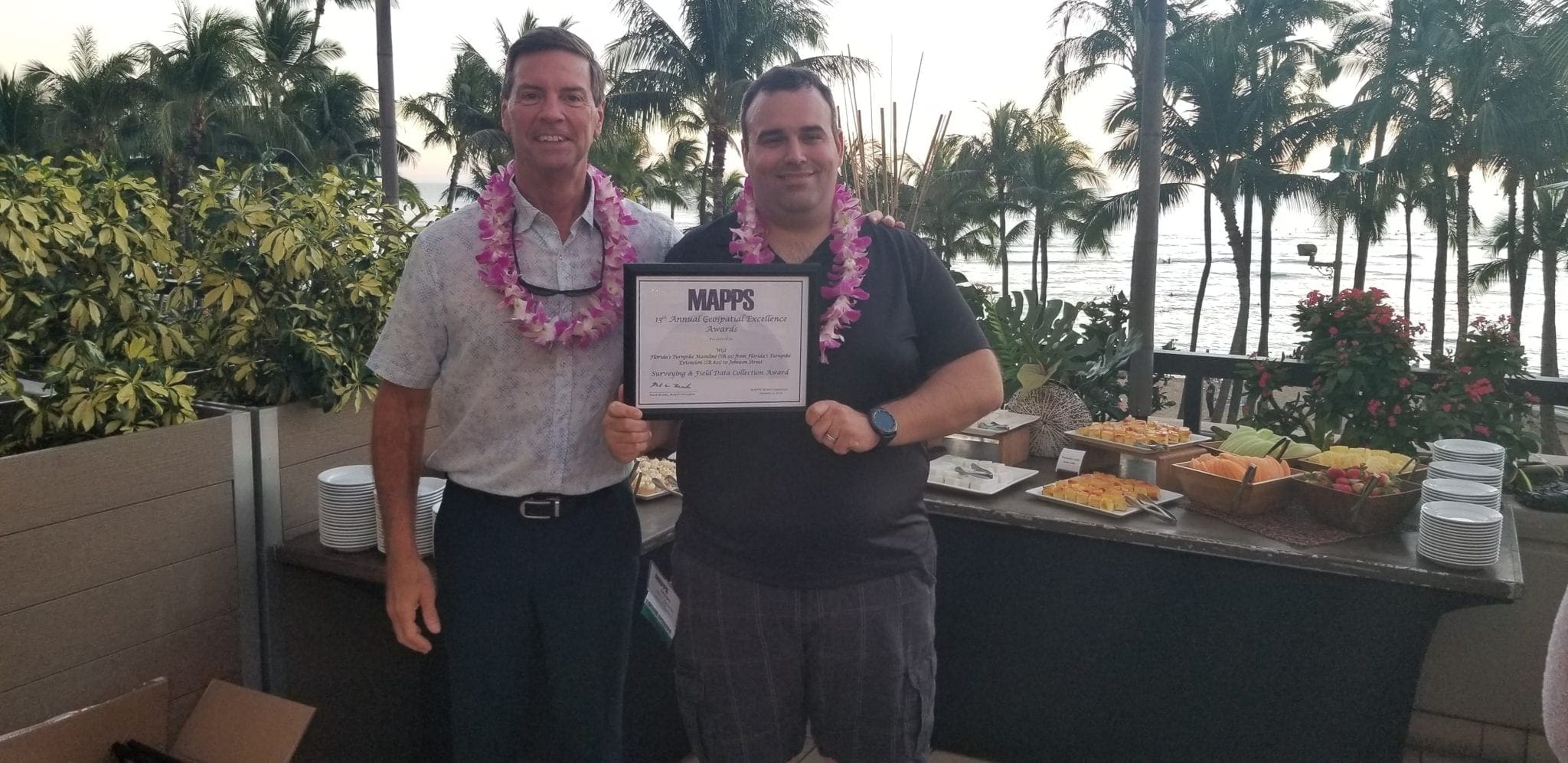
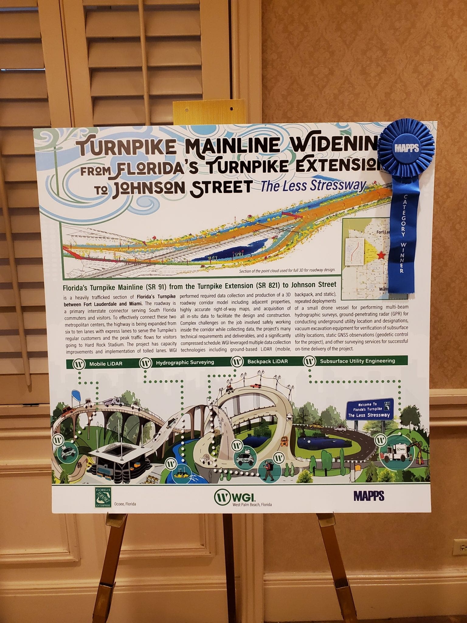
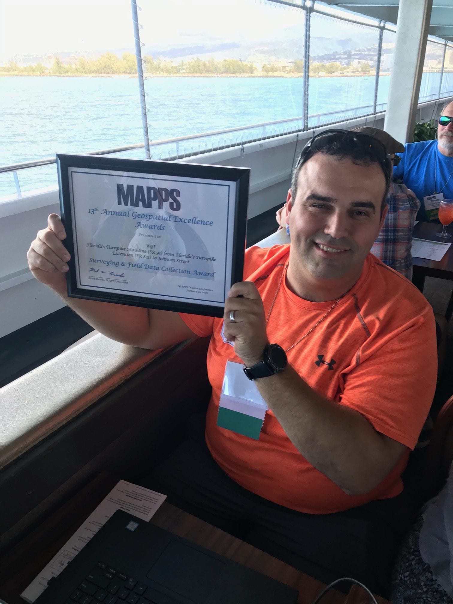
WGI was awarded the 2019 Excellence Award in the Surveying/Field Data Collection category for Florida’s Turnpike Mainline (SR 91) from Florida’s Turnpike Extension (SR 821) to Johnson Street. WGI was presented with the award at the MAPPS 2020 Winter Conference in Honolulu, Hawaii.
The 13th annual MAPPS Geospatial Products and Services Awards are presented to regular and associate member firms whose entries exemplify the professionalism, value, integrity, and achievement of the firm’s staff as demonstrated over the previous year.
All submitted projects were recognized for their contributions to the geospatial profession. These awards provide an opportunity for MAPPS members to obtain national recognition and to showcase their projects.
MAPPS is the preeminent national association of firms involved in many aspects and benefits of the geospatial field in the United States. Member firms are thought leaders in mapping, surveying, photogrammetry, satellite and airborne remote sensing, aerial photography, hydrography, GPS and GIS data collection and conversion services, and technology development and geospatial products.
MAPPS is dedicated to all the business aspects, networking, technical and professional education, geospatial policy, and legislation that private practitioners and the mapping community will always need.
Learn more about MAPPS and the Excellence Awards here.
WGI is a national design and professional services firm leading in technology-based solutions for the construction of public infrastructure and real estate development. At WGI, we’re providing Tomorrow’s Infrastructure Solutions Today.
WGI is proud to welcome three Geospatial leaders as we expand our operations across the country.
In this episode of WGI Unleashed, we get to know Jeremiah Slaymaker, the Regional Survey Manager for our Geospatial Divison in the Tallahassee, Florida office.
WGI is providing professional surveying and utility engineering services for the Virgin Trains railway from West Palm Beach to the Cocoa area in Brevard County, FL.
WGI SUE experts explain why 811 is not enough to find the utilities around your subsurface utility engineering project.
WGI is proud to announce their recent receipt of the 2023 MAPPS Geospatial Excellence Award – Field/Survey Data Collection for their work on the Brightline Highspeed Rail Project!
In the WGI Geospatial Division, we are innovators. While anyone can purchase the latest technology such as UAS and lidar systems, we pride ourselves on the unique ways we leverage technology to provide better deliverables for our clients. Here’s what we’re working on…
You’ve been searching for a place like WGI. We look forward to meeting you soon.
Sign up to receive emails to hear our latest news and achievements in our monthly newsletter.
Enter your zip code, and we’ll personalize your experience with local projects, office locations, team members, and more.
WGI supports its associates with meaningful opportunities for growth, strong benefits and perks, while we work collaboratively with clients and co-consultants to shape and improve communities.
WGI is a dynamic organization with opportunities nationwide for engineers, land surveyors, landscape architects, environmental scientists, and architects.