National Surveyors Week 2022
WGI kicks off National Surveyors Week celebrating the history of the surveying profession and the surveyors who contribute to the advancement of our communities every day.
Learn from award-winning professionals — explore our whitepapers, blogs, and the latest industry updates.
Join our dynamic organization of engineers, land surveyors, landscape architects, environmental scientists, and architects!
Talk to a market leader today! We’ll answer any questions you have about our professional services.
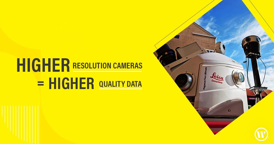
We love getting our hands on the latest technology, and we’re excited to share that our Geospatial team recently acquired a Mosaic 51 – one of the best 360º camera setups on the market today. This addition to the Geospatial Team’s Mobile lidar collection provides 72 MP of high-resolution imagery & allows us to offer a more robust dataset to our teams and our clients.
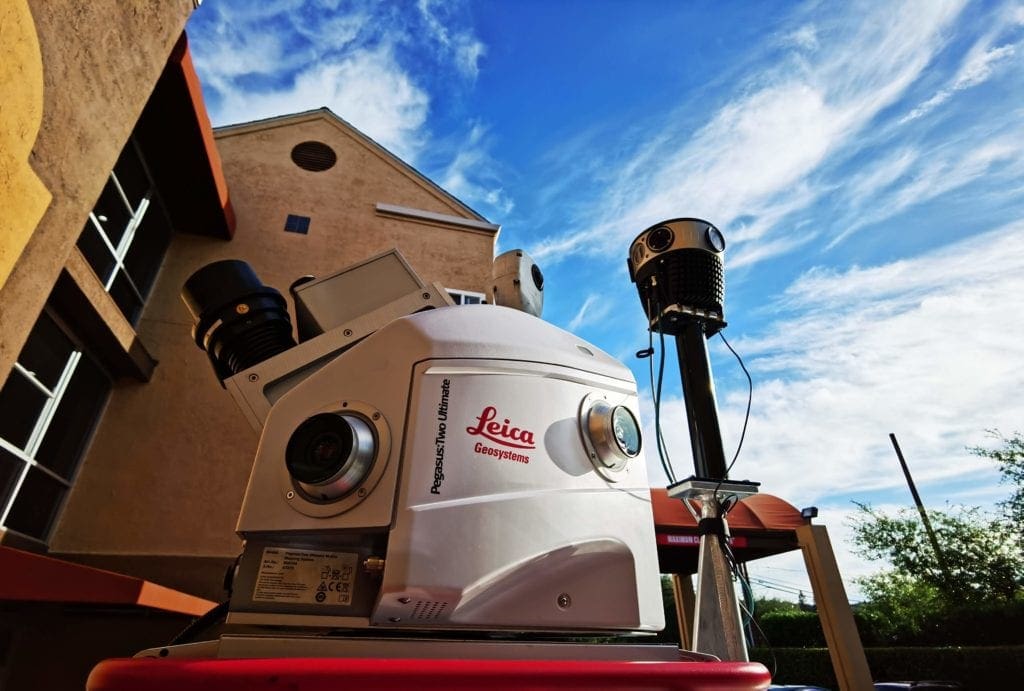
The new camera not only allows for higher-resolution imagery to be captured but also performs on-the-fly image optimization (brightness, contrast, color balance).
We are in full production, now exporting this very high-resolution imagery for texturizing 3-D models. This camera enables the use of the imagery, with structure from motion approaches, to seamlessly augment lidar-derived point clouds to make them considerably denser when required for the extraction of objects.
This camera also enables the ability to explore the generation of 3D models utilizing imagery structure from motion to augment our lidar collection and develop a considerably denser point cloud vs the density of our current lidar-derived point clouds.
Higher-resolution imagery will allow our team to extract linework and points from the point cloud with finer detail than we could have achieved in the past. This will provide for a richer GIS-based data set from which AR models will be generated.
For over four decades, WGI has been a leader in implementing the latest technology like the 72 Megapixel Spherical Mosaic Camera System in the Land Surveying space.
If you are searching for higher-quality data, collected more safely, in less time, and often at a lower cost, then contact our experts today.

WGI is a national design and professional services firm leading in technology-based solutions for the construction of public infrastructure and real estate development. At WGI, we’re providing Tomorrow’s Infrastructure Solutions Today.

WGI kicks off National Surveyors Week celebrating the history of the surveying profession and the surveyors who contribute to the advancement of our communities every day.
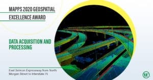
WGI was recognized by MAPPS for its excellence in lidar collection and processing for the East Selmon Expressway project, from North Morgan Street to Interstate 75, in Tampa, FL.

We’re refreshing our brand to reflect the energy, inspiration, and excitement that we feel when we come to work every day.

Melissa’s addition to the team solidifies WGI’s leadership in helping communities harness the benefits of much-needed infrastructure projects throughout the nation.

Discover how WGI seamlessly blends urban connectivity with natural conservation in the Clear Lake Trail & Boardwalk project, integrating innovative design and engineering to enhance the landscape while preserving the purity of Clear Lake, West Palm Beach’s primary drinking water source.
WGI was awarded the 2019 MAPPS Excellence Award in Surveying/Field Data Collection, which was presented at the 2020 Winter Conference in Honolulu, Hawaii.
You’ve been searching for a place like WGI. We look forward to meeting you soon.
Sign up to receive emails to hear our latest news and achievements in our monthly newsletter.
Enter your zip code, and we’ll personalize your experience with local projects, office locations, team members, and more.
WGI supports its associates with meaningful opportunities for growth, strong benefits and perks, while we work collaboratively with clients and co-consultants to shape and improve communities.


WGI is a dynamic organization with opportunities nationwide for engineers, land surveyors, landscape architects, environmental scientists, and architects.